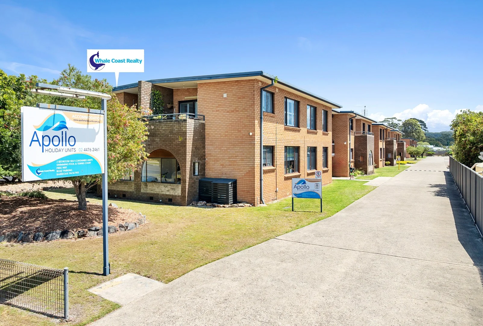
6/16 McMillan Road
Narooma, NSW 2546
Explore the area
Explore around Narooma, from school days to weekends.
- schools in Narooma
- 2
- activity providers in the suburb
- 3
- parks in the suburb
- 3
- libraries in the suburb
- 0
- council area (km²)
- 3,428.17
- residents (ABS, June 2024)
- 41,142
- children aged 0–14
- 5,713
- schools
- 15
- public places listed
- 79
- kids’ activity providers listed
- 12
Most-listed activities: Art Centre, Swimming, AFL
Population figures: Australian Bureau of Statistics
Narooma by the numbers
Official published figures for the suburb, shown as their own dated facts — not combined into a score.
Recorded offences (12 months)
312
2026-06
Nearby places to eat
12 within about 1.2km. A few of them — listed by distance, not by how good they are.
abc Bakery · Narooma Ice Creamery Cafe · La Bocca · Narooma Bakery · Wharf Cafe · Montague · Quarterdeck Narooma · The Raw Prawn Bistro
Source: © State of New South Wales (Department of Communities and Justice), NSW Bureau of Crime Statistics and Research (BOCSAR) · © OpenStreetMap contributors (ODbL)
Parks, playgrounds & public spaces
Narooma Library
Field St, Narooma, New South Wales, 2546
383 m straight-line distance
Quota Park
Narooma, New South Wales, 2546
428 m straight-line distance
Ken Rose Park
Princes Hwy, Narooma, New South Wales, 2546
514 m straight-line distance
Wagonga Inlet Reserve
North Narooma, New South Wales, 2546
866 m straight-line distance
Quota Park: Playground, Toilets, Parking
Ken Rose Park: Parking
Things to do near this home
Explore nearby play centres and family attractions from the directory. Check ages, entry prices and opening hours with the venue.
Find more ideas by age, budget and indoor or outdoor setting on Things to do. Dated events are in What’s on. See what’s on
Discover local guides & family ideas
Read local family guides and practical articles as you explore life around this home.
Most Livable Suburbs in New South Wales for Families (2026)
Sydney lists more kids' activities in our directory than any other suburb in NSW. This page ranks NSW suburbs by how much a family moving there could actually do with their kids, then adds what else…
Read more →
Free Kids' Activities in Sydney: What's On, Libraries, Free Trials
There are 11 free events listed in and around Sydney for the next month, 1,630 libraries, parks and community spaces we hold inside the city, and 26 kids' activity providers offering a free class or…
Read more →Everyday essentials & getting around
Open the map to choose a destination and check journey times from this address. Walking routes, step-free access and travel times have not been verified.
Flood & development checks
Property-specific flood risk and announced developments have not been verified. Search this address in the official maps and ask the council for current flood information.
Source: AroundSchools directory. Distances are straight-line distances, not walking routes. Confirm facilities on the linked detail pages. Directory update dates are not supplied for this summary.
Property Details
Apartment / Unit / Flat
RESIDENTIAL
Nearby Properties
Recently sold nearby
Homes that have sold close to this address. We don’t show sale prices.
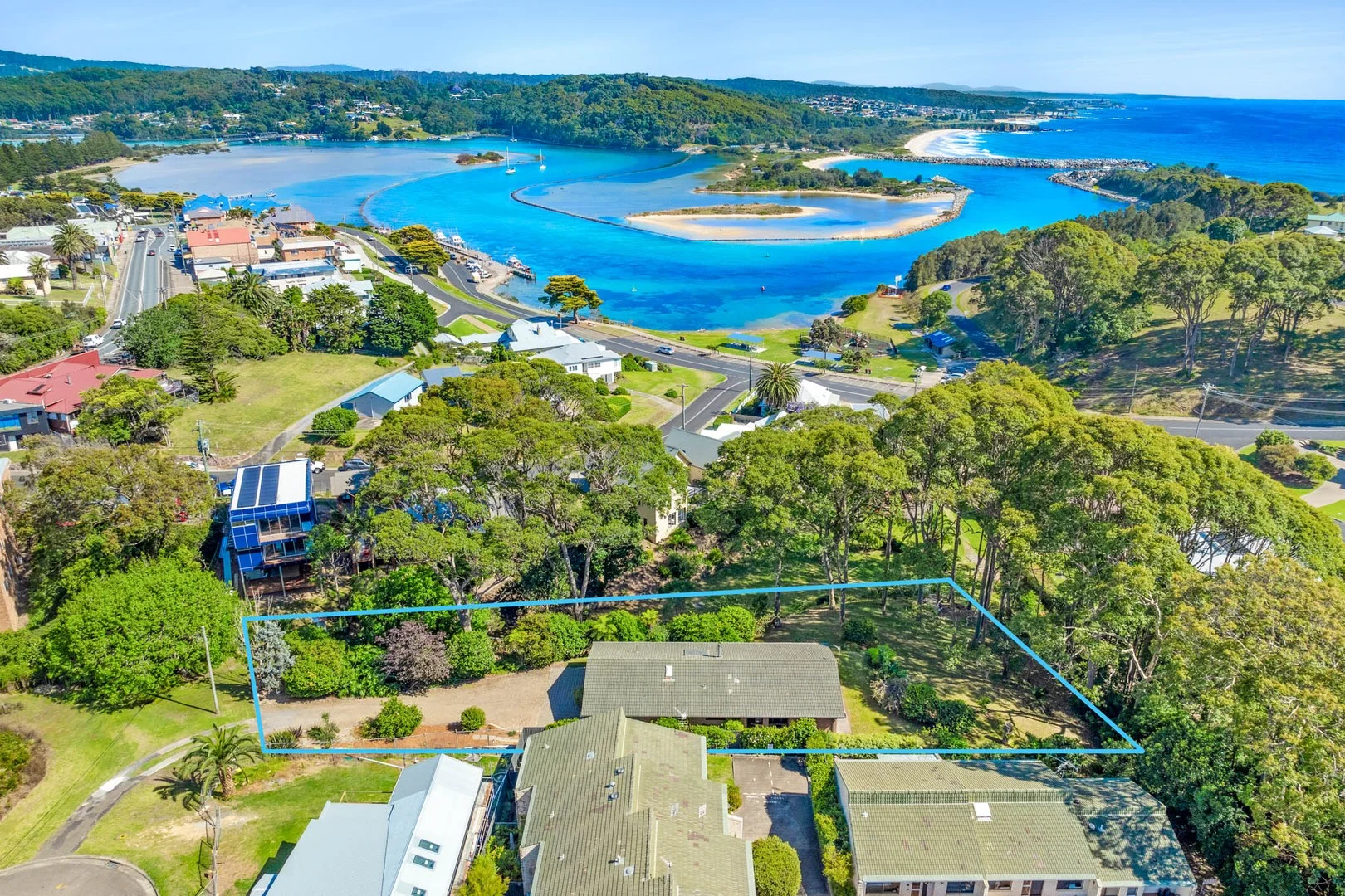
Narooma, NSW 2546
Land Size: 1583 m²
Property Type: House
Listing Type: Residential
Status: Active
Summary: Tranquil Single-Level Living with Central Convenience
Description: Ideally situated in a quiet cul-de-sac within a highly walkable pocket of Narooma, this well-maintained, single-level home offers a tranquil, peaceful atmosphere a true sanctuary to come home to. Just 300m from Lynch's Pub, 650m from Narooma Golf Course and 1.2km from Surf Beach Narooma, the location allows you to leave the car at home and enjoy easy access to cafés, local shops, dining, and outdoor recreation. Thoughtfully renovated throughout, the home features new flooring, fresh paint, skylights, a stylish gourmet kitchen, and updated bathroomsblending contemporary comfort with low-maintenance living. Inside, three generously sized bedrooms include a master suite with ensuite and walk-in robe. The lounge flows seamlessly into the dining area, creating a relaxed and inviting living space. At the heart of the home, the kitchen will truly impress those who love to cook, featuring striking stainless steel benchtops that elevate the space and deliver a refined, gourmet feel, along with ample bench space and storage, all opening out to the outdoor areas. Designed for effortless indooroutdoor living, verandah doors open wide to create a seamless connection with nature, enhancing the home's calm and restorative feel. A covered verandah runs along the length of the home, providing a peaceful space to relax or entertain, while an additional patio off the kitchen is ideal for casual meals or morning coffee. The solid brick construction ensures lasting value, with a single garage offering internal access and an established, leafy yard that feels private yet easy to maintain. Walking access to Wagonga Inlet via a backyard easement further enhances the home's sense of serenity and lifestyle appeal. Offering a rare blend of peace, privacy, convenience, and quality, 1 Angle Street is perfectly suited to owner-occupiers, downsizers, or investors seeking a solid home in one of Narooma's most appealing settings. Council Rates: Approx $3,229.91/per year Permanent Rental Return: $580 - $600 Holiday Rental Return: Off-peak $180.00 / Peak $300 *DISCLAIMER: While Whale Coast Realty have taken all care in preparing this information and used their best endeavours to ensure that the information contained therein is true and accurate, but accept no responsibility and disclaim all liability in respect of any errors, inaccuracies or misstatements contained herein. Whale Coast Realty urge prospective purchasers to make their own inquiries to verify the information contained herein.*
Agent: John Murray - sales@whalecoastrealty.com.au - 02 4476 2699
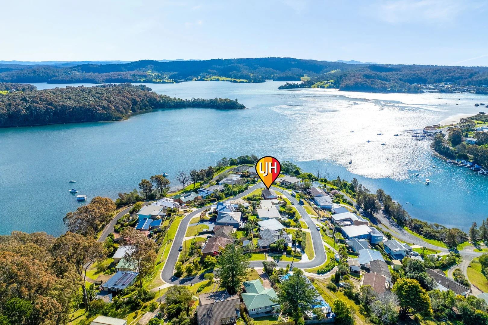
Narooma, NSW 2546
Land Size: 595 m²
Property Type: House
Listing Type: Residential
Status: Active
Summary: Position & Panoramic Views - Welcome to The Loop, Narooma
Description: Located in one of Narooma's most sought-after areas, this classic coastal residence enjoys uninterrupted 180-degree views of the beautiful Wagonga Inlet. Beautifully maintained, the home features four bedrooms, all with water views, and boasts original, restored, hardwood floors throughout. The open-plan kitchen and living areas are the heart of the home, complete with an inviting open fireplace and breathtaking water views. Positioned on an expansive corner block on the high side, there is ample potential to extend or enhance the property to take advantage of the space and outlook - or simply move in and enjoy it as it is. Under the house is a solid brick garage with generous storage areas offering room for all your gear, whether it's for work or weekend adventures. It is just a minute's walk to estuary fishing and kayaking or launch your boat to the Montague Island fishing grounds. Picture yourself on the front deck, coffee in hand or wine at sunset, soaking in the serenity of inlet living and enjoying panoramic views of Mount Gulaga. This is the lifestyle you've been waiting for. Don't miss this rare opportunity to secure a unique home in an unbeatable location. Contact Steve at LJ Hooker today to arrange your inspection.
Agent: Steven Hutcheson - steven.hutcheson@ljhooker.com.au - 02 6493 3834
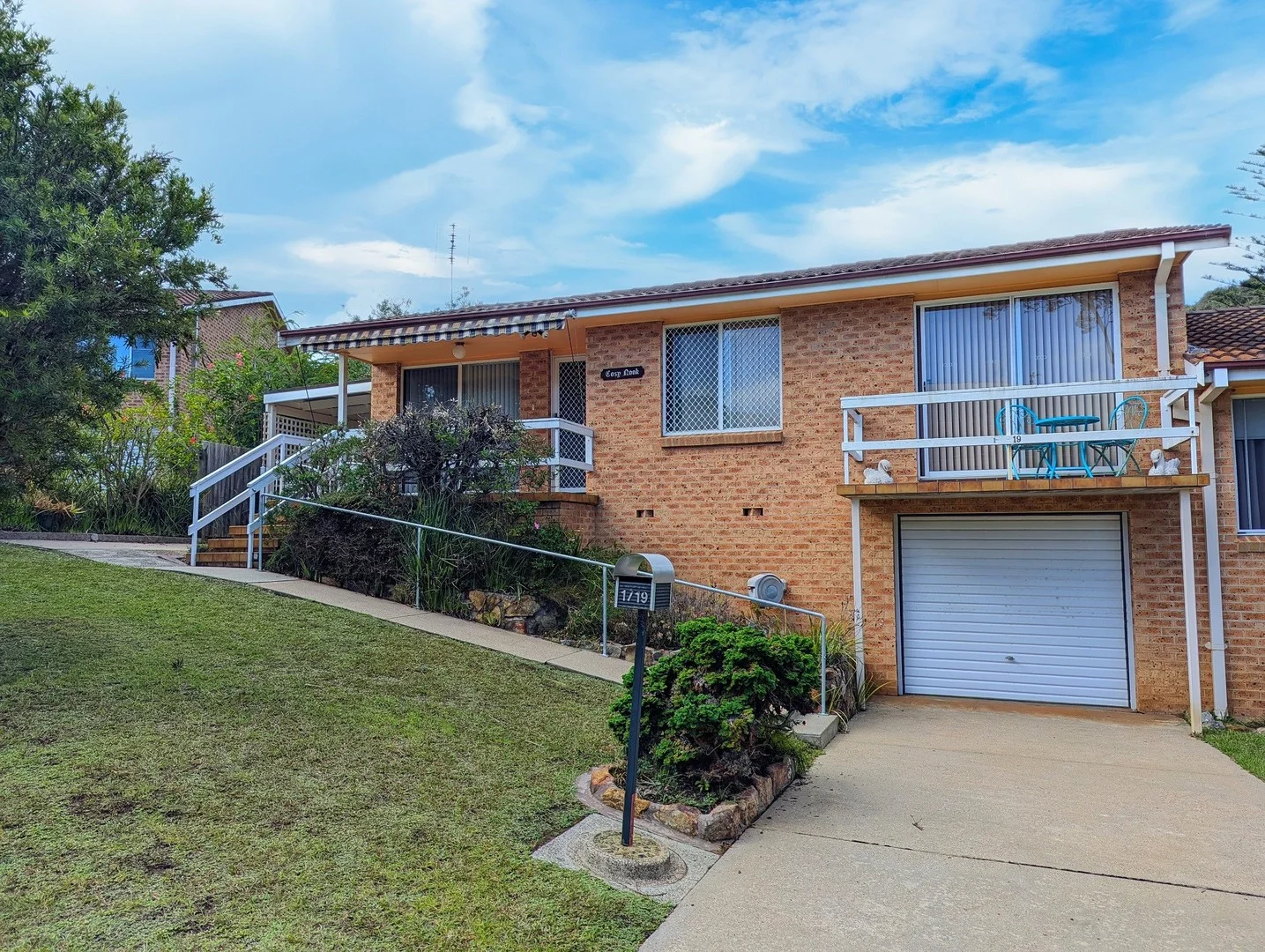
Narooma, NSW 2546
Property Type: Apartment / Unit / Flat
Listing Type: Residential
Status: Active
Summary: Convenient location
Description: Located in the centre of Narooma, this well presented, north facing villa is move in ready. Ideal for first home buyers, downsizing or investors. One of only five in a quiet complex, the home offers two bedrooms, one bathroom, a separate toilet and a private, fully fenced backyard.Inside the villa has been freshly painted and fitted with brand new carpet throughout. Outside, a new colourbond fence adding privacy and security to the backyard Positioned just a 500 metre walk to Narooma Plaza and only 780 metres to Narooma's main beach. A fantastic opportunity to secure a low-maintenance home in a central location Rates: $2737.14 pa Strata: $4685.80 pa
Agent: Sarah Budin - sarah@benbate.com.au - 02 4476 1400
Agent: Ben Bate - ben@benbate.com.au - 02 4476 1400
Agent: Belinda Mathews-Bennett - belinda@benbate.com.au - 02 4476 1400
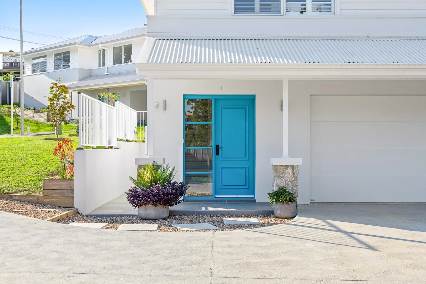
Narooma, NSW 2546
Land Size: 516 m²
Property Type: House
Listing Type: Residential
Status: Active
Summary: Brand New in Narooma
Description: Introducing this new 3 bedroom, 2-bathroom home, located in the picturesque town of Narooma. This brand new home offers the perfect blend of modern living, comfort, and coastal charm. The property is ideal for a variety of people looking to escape to a tranquil, yet vibrant community. This quality built home, nestled in the heart of Narooma, features an open plan dining and kitchen area that is filled with natural light. The seamless flow between the living space and the outdoor deck creates an emphasis on entertaining and alfresco dining perfect for the South Coast summer The master bedroom contains a spacious ensuite, with sliding doors out to the back deck, and all bedrooms feature built in wardrobes. Bathrooms are finished with contemporary fixtures, and the kitchen with modern appliances. This home would suit a new family, be perfect for retirees or something to add to your long term investment portfolio. This is a quiet neighbourhood, within walking distance to shops, pristine beaches and the golf course. Take the first steps to make this beautiful house your new home by calling Steve from LJHooker Narooma today.
Agent: Steven Hutcheson - steven.hutcheson@ljhooker.com.au - 02 6493 3834
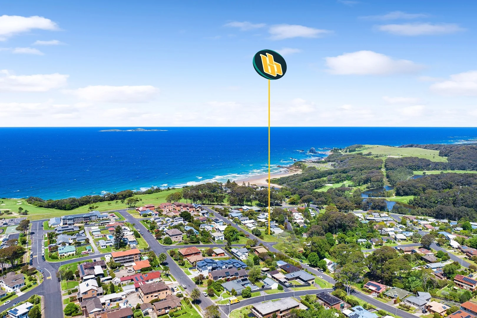
Narooma, NSW 2546
Land Size: 885 m²
Property Type: Vacant Land
Listing Type: Residential
Status: Active
Summary: Rare opportunity in Naroomas ' Golden Triangle '
Description: Don't miss this rare opportunity to secure a prime parcel of land in the highly sought after Golden Triangle of Narooma. Perfectly positioned, this generous 885 square metre block offers an exceptional lifestyle location. Enjoy a short 550 metre stroll to Narooma's beautiful surf beach, spend your days on the greens with the Narooma Golf Club just 450 metres away, and take advantage of the convenience of being only 450 metres from the main street, where cafes, shops, and essential services are easily accessible. Build your dream home, in a dream location or purchase as an investment. Opportunities to secure land in this area are rare, making this an offering not to be missed. We have obtained all information in this document from sources we believe to be reliable; however, we cannot guarantee its accuracy. Prospective purchasers are advised to carry out their own investigations...
Agent: Sarah Budin - sarah@benbate.com.au - 02 4476 1400
Agent: Belinda Mathews-Bennett - belinda@benbate.com.au - 02 4476 1400
Agent: Ben Bate - ben@benbate.com.au - 02 4476 1400
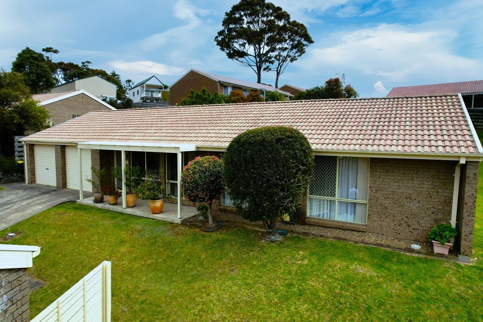
Narooma, NSW 2546
Property Type: Villa
Listing Type: Residential
Status: Active
Summary: Private, Peaceful, Perfect!
Description: Immaculate free standing villa in the very popular 'Parklands' here in Narooma. Featuring three bedrooms (all with Bir) and a master with ensuite. Open living area with reverse cycle air conditioning, galley style kitchen with electric cooking, dishwasher and pantry and main bathroom complete a bath as well. The seperate laundry has access to the rear yard and the generous two car garage (with small workshop). Step out from the living area to the fully covered alfresco entertaining area that captures plenty of sunshine and has a beautiful private outlook over the fully landscaped gardens. It is fully fenced and ideal for those who have a dog in their life. Rates: $681.25 per 1/4 Strata: $798.00 per 1/4 Disclaimer: We have obtained all information in this document from sources we believe to be reliable; however, we cannot guarantee its accuracy. Prospective purchasers are advised to carry out their own investigations...
Agent: Ben Bate - ben@benbate.com.au - 02 4476 1400
Agent: Belinda Mathews-Bennett - belinda@benbate.com.au - 02 4476 1400
Agent: Sarah Budin - sarah@benbate.com.au - 02 4476 1400
Kianga, NSW 2546
Land Size: 1292 m²
Property Type: House
Listing Type: Residential
Status: Active
Summary: You said you wanted a VIEW
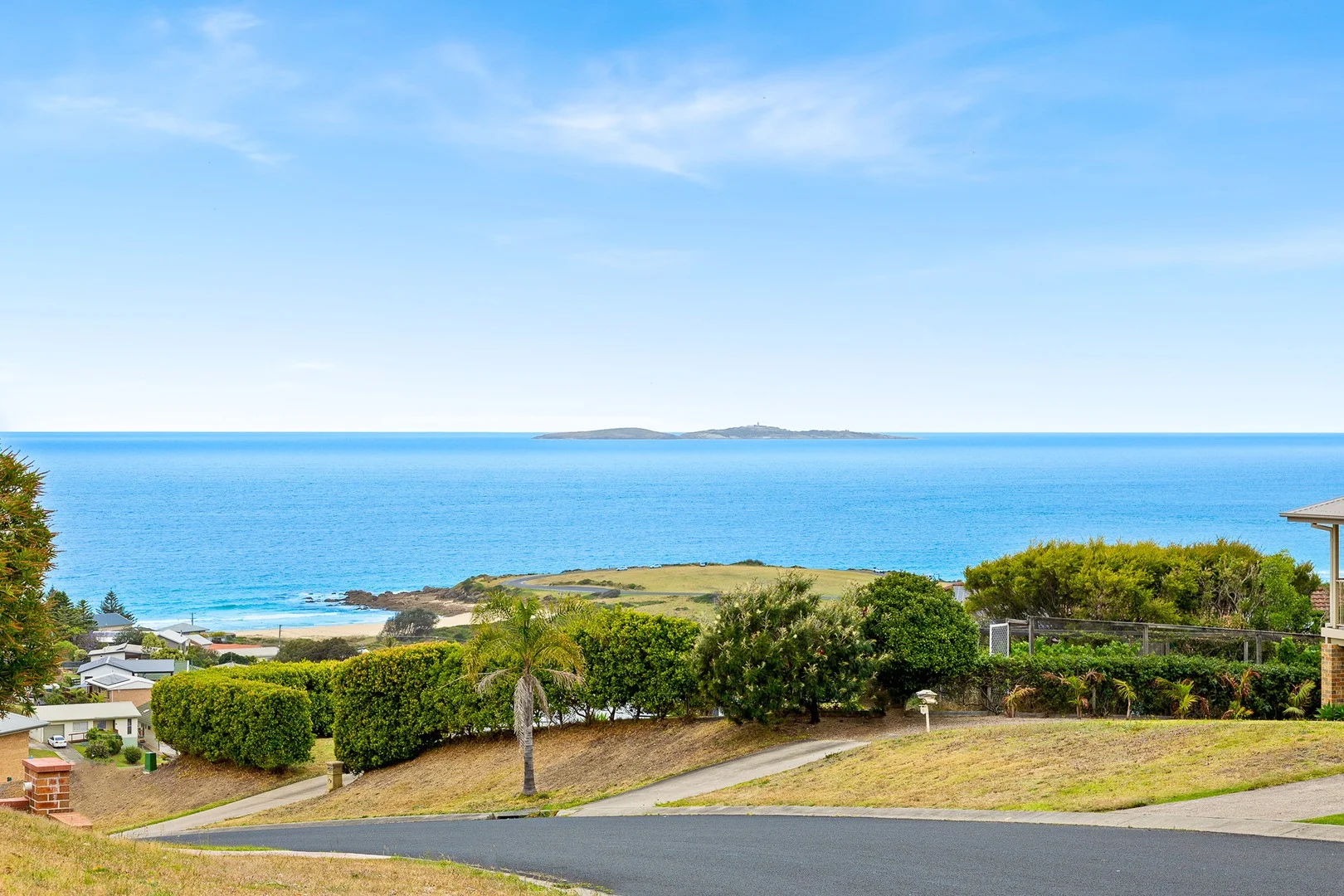
Description: This architecturally designed home makes the most of the North-East aspect and views which including Carter's Beach, Montague Island and lots and lots of ocean. Built by a local master builder, this home has been beautifully designed and crafted to maximise comfort and space whilst still nestling itself into the landscape to appear unassuming. As you enter directly onto the top floor you will find the bedroom and bathroom layout maximises both privacy and the views. Meandering through to the rear of the property is the crown jewel - the kitchen and living area with a large wrap around deck, open plan living space, huge open fire, vaulted ceilings and the million dollar views. It really is breathtaking. Downstairs is another bedroom, bathroom and huge second living area. This space can be created into whatever suits your needs - space for the kids, guest area, granny flat or even a man cave. The large block with advanced landscaping and gardens compliments this home. There is even space down the back for a second dwelling if you are looking for a development opportunity. This property is one to come and inspect
Agent: Steven Hutcheson - steven.hutcheson@ljhooker.com.au - 02 6493 3834
Kianga, NSW 2546
Land Size: 558 m²
Property Type: House
Listing Type: Residential
Status: Active
Summary: Kianga Parade
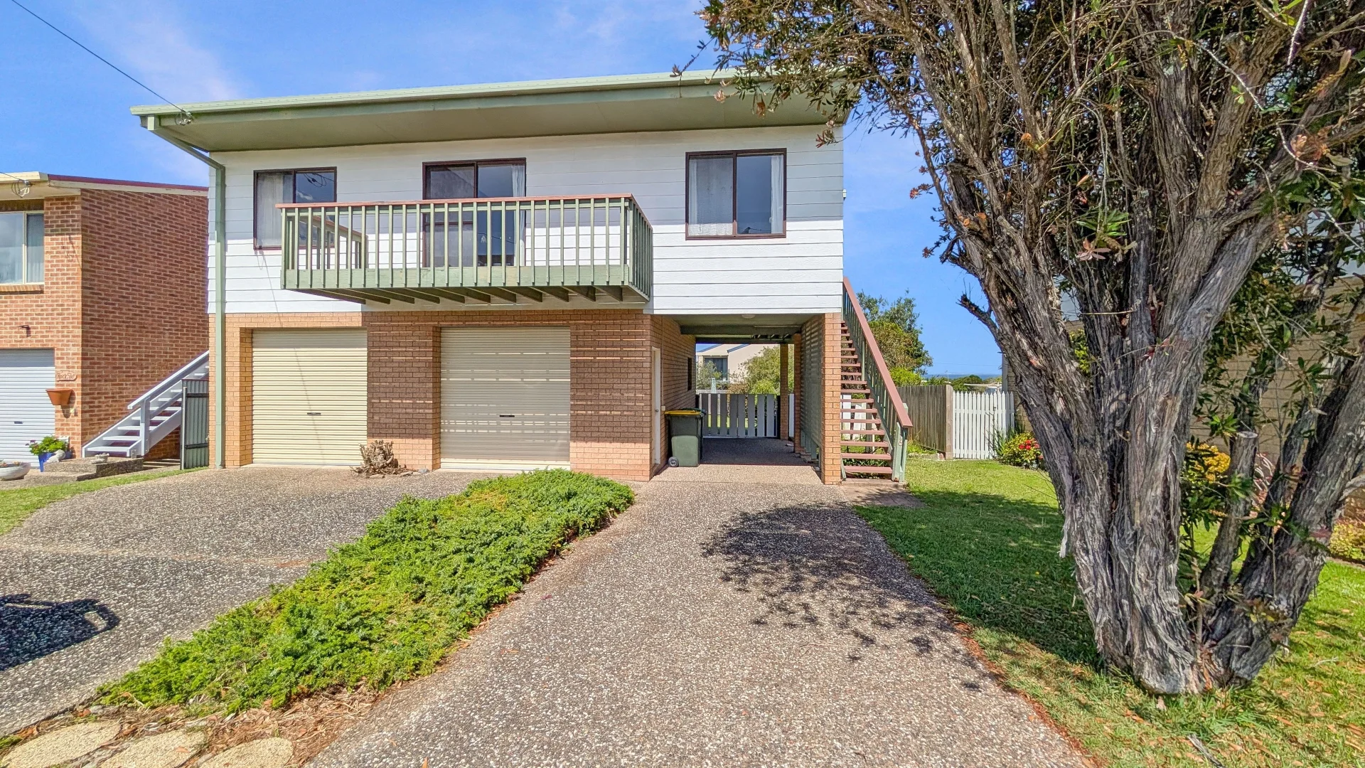
Description: Packed with potential and positioned for lifestyle, this original late-80s home in Kianga is the ideal canvas for renovators or investors. Set on a level block with a sun-soaked backyard, the property features three bedrooms, all with built in robes, ocean views from the living, dining and kitchen areas and a covered deck area. This property delivers easy coastal living in a highly sought-after pocket. A spacious garage and additional carport provide great storage for boats, caravans, or surf gear. This home is an excellent opportunity to modernise and add long-term value and invites you to slow down and enjoy the good life. A desirable coastal location only a short stroll to beaches, coastal walks, and the Narooma- Dalmeny shared pathwaythis one is ready for your vision. We have obtained all information in this document from sources we believe to be reliable; however, we cannot guarantee its accuracy. Prospective purchasers are advised to carry out their own investigations...
Agent: Belinda Mathews-Bennett - belinda@benbate.com.au - 02 4476 1400
Agent: Sarah Budin - sarah@benbate.com.au - 02 4476 1400
Agent: Ben Bate - ben@benbate.com.au - 02 4476 1400
Narooma, NSW 2546
Land Size: 68300 m²
Property Type: House
Listing Type: Residential
Status: Active
Summary: Acreage Opportunity with Space, Shed and Serenity
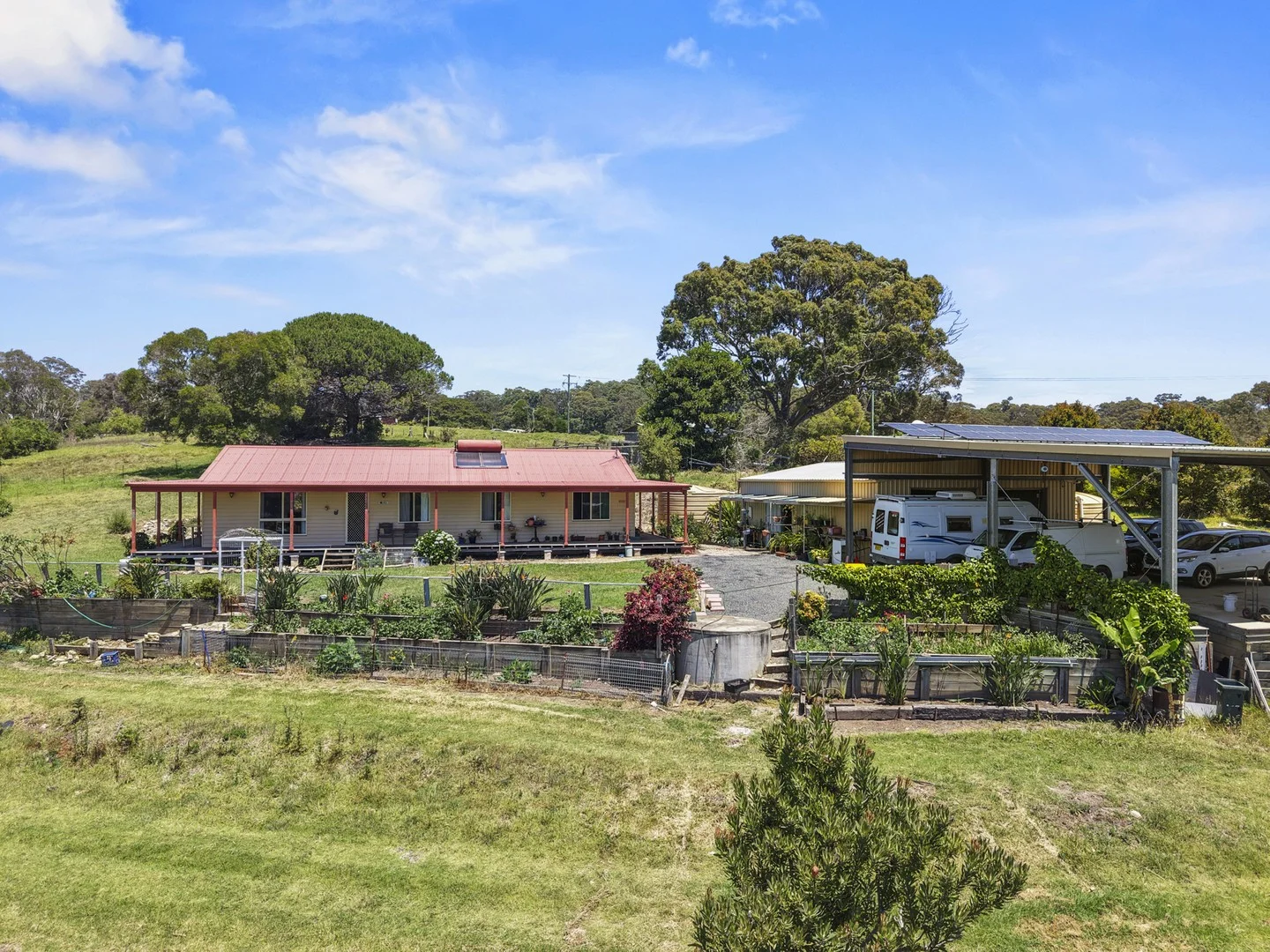
Description: Tucked away at the rear of Lilyvale Place, this single-level three-bedroom, two-bathroom home offers a sense of peace, privacy and space. Elevated high on the hill, the property captures ocean views alongside beautiful rural paddock vistas, creating a truly special outlook. Lovingly held within the same family for over 30 years, the home features a beautiful wrap-around deck, light-filled living room with hardwood timber floors, a desirable northerly aspect, air conditioning and 5kW solar. Down the hall are the three bedrooms, including the master with ensuite. Set on approximately 6.83 hectares (16.87 acres), the land is spacious and subdividable (STCA), complete with a large spring-fed dam, ideal for livestock or lifestyle enjoyment. A standout feature is the huge shed, perfect for storage, workshops, or equipment, complemented by an adjoining extra-high carport suited for a caravan, boat, or multiple oversized vehicles. Whether you're a tradie, adventurer, or simply need space for toys and tools, this property delivers exceptional functionality. A unique opportunity to secure a private acreage retreat with views, space and long-held family appeal. Additional Information: Council Rates: Approx $1,551.69 per annum Permanent Rental Return: $650 per week *DISCLAIMER: While Whale Coast Realty have taken all care in preparing this information and used their best endeavours to ensure that the information contained therein is true and accurate, but accept no responsibility and disclaim all liability in respect of any errors, inaccuracies or misstatements contained herein. Whale Coast Realty urge prospective purchasers to make their own inquiries to verify the information contained herein.*
Agent: John Murray - sales@whalecoastrealty.com.au - 02 4476 2699
Agent: Bryan Coughlin - sales@whalecoastrealty.com.au - 02 4476 2699
What's Nearby


Nearby Schools
Narooma Public School
7 Montague St, Narooma NSW 2546

Narooma High School
Princes Hwy, Narooma NSW 2546

Central Tilba Public School
89 Corkhill Drive, Central Tilba NSW 2546

Bodalla Public School
Potato Point Rd, Bodalla NSW 2545

Bermagui Public School
George St, Bermagui NSW 2546

Cobargo Public School
Wandella Rd, Cobargo NSW 2550
Nearby schools do not imply enrolment eligibility. Confirm catchments, year levels and childcare availability directly with the provider.