Park
Lal Lal Bungal Historic Area
Lal Lal, Victoria 3352
WhereLal Lal
Location
Ironmine Rd
Lal Lal, Victoria 3352
Explore the area
Explore around Lal Lal, from school days to weekends.
Moorabool
- council area (km²)
- 2,110.55
- residents (ABS, June 2024)
- 39,814
- children aged 0–14
- 7,792
- schools
- 18
- public places listed
- 29
- kids’ activity providers listed
- 9
Most-listed activities: Karate, Swimming, Tennis
Population figures: Australian Bureau of Statistics
Nearby Schools

Lal Lal Primary School
12 Vaughan Street, Lal Lal VIC 3352 Australia
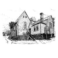
Mount Egerton Primary School
58 Church Street, Mount Egerton VIC 3352 Australia

St Patrick's Primary School - Gordon
Millbrook Road, Gordon VIC 3345 Australia
St Brendan's Primary School - Dunnstown
1 Ti Tree Road, Dunnstown VIC 3352 Australia

Bungaree Primary School
348 Bungaree-Wallace Road, Bungaree VIC 3352 Australia

Buninyong Primary School - Buninyong Campus
Midland Highway, Scotsburn VIC 3357 Australia