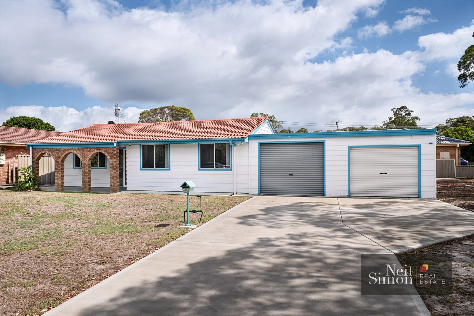
27 Hartford Street
Mallabula, NSW 2319
Neighbourhood & everyday essentials
Explore around Mallabula, from school days to weekends.
Find schools, playgrounds and children’s classes. Browse by age to plan school days and weekends.

Area figures
- residents (ABS, June 2024)
- 78,906
- children aged 0–14
- 12,811
- schools
- 26
- parks & libraries
- 48
- kids’ activity providers listed
- 28
Most-listed activities: AFL, Female AFL, Karate
Population figures: Australian Bureau of Statistics
Explore local libraries, community spaces, schools and council programs across the wider area.
Parks, playgrounds & public spaces
Mallabula Park West Entrance
Mallabula Rd, Mallabula, New South Wales, 2319
732 m straight-line distance
Tilligerry Nature Reserve & Koala Habitat
King Albert Ave, Tanilba Bay, New South Wales, 2319
1.1 km straight-line distance
Mallabula Park
Mallabula, New South Wales, 2319
1.2 km straight-line distance
Big4 Koala Shores Port Stephens Holiday Park
Shores Dr, Lemon Tree Passage, New South Wales, 2319
1.2 km straight-line distance
Things to do near this home
Explore nearby play centres and family attractions from the directory. Check ages, entry prices and opening hours with the venue.
Find more ideas by age, budget and indoor or outdoor setting on Things to do. Dated events are in What’s on. See what’s on
Discover local guides & family ideas
Read local family guides and practical articles as you explore life around this home.

Kids' Activities per Child: Australia's Best- and Thinnest-Covered Council Areas (2026)
Across Australia's big council areas, the AroundSchools directory lists a median of about 10 kids' activity providers for every 10,000 children — but in Melbourne's Wyndham it is 3.9, and in the City…
Read more →
Most Livable Suburbs in New South Wales for Families (2026)
Sydney lists more kids' activities in our directory than any other suburb in NSW. This page ranks NSW suburbs by how much a family moving there could actually do with their kids, then adds what else…
Read more →Everyday essentials & getting around
Open the map to choose a destination and check journey times from this address. Walking routes, step-free access and travel times have not been verified.
Flood & development checks
Property-specific flood risk and announced developments have not been verified. Search this address in the official maps and ask the council for current flood information.
Source: AroundSchools directory. Distances are straight-line distances, not walking routes. Confirm facilities on the linked detail pages. Directory update dates are not supplied for this summary.
Property Details
566 m²
House
RESIDENTIAL
Upcoming Events Nearby

What's Nearby

Battlezone Laser Tag
1445 Richardson Road, Salt Ash

Shorin Ryu Tilligerry Karate do
Mallabula

Mallabula Park West Entrance
Mallabula Rd, Mallabula
Mallabula Park
Mallabula
Big4 Koala Shores Port Stephens Holiday Park
Shores Dr, Lemon Tree Passage

Sandy's 1 on 1 Tuition
Tanilba Bay
Lemon Tree Passage Park
Kawarren St, Lemon Tree Passage
Kooindah Park
Cook Pde, Lemon Tree Passage
Henderson Park
Cook Pde, Lemon Tree Passage
Nearby Schools

Tanilba Bay Public School
1a King Albert Ave, Tanilba Bay NSW 2319

Bobs Farm Public School
764 Marsh Rd, Bobs Farm NSW 2316

Soldiers Point Public School
Cromarty Rd, Soldiers Point NSW 2317

Tomaree High School
Salamander Way, Salamander Bay NSW 2317

Tomaree Public School
Salamander Way, Salamander Bay NSW 2317

Anna Bay Public School
191 Gan Gan Rd, Anna Bay NSW 2316
Nearby schools do not imply enrolment eligibility. Confirm catchments, year levels and childcare availability directly with the provider.
Nearby Properties
Recently sold nearby
Homes that have sold close to this address. We don’t show sale prices.
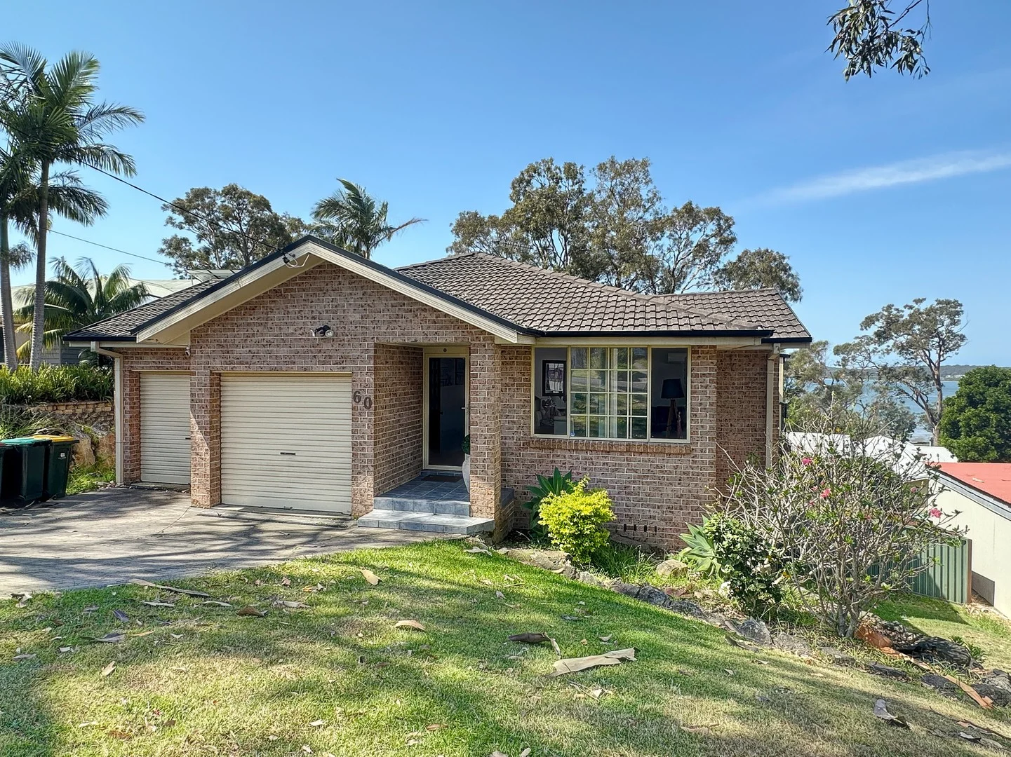
Lemon Tree Passage, NSW 2319
Land Size: 707 m²
Property Type: House
Listing Type: Residential
Status: Active
Summary: Contemporary Home with beautiful Views
Description: Discover this idyllic four-bedroom residence commanding breathtaking northeast views across Port Stephens to Soldiers Point and beyond. Perfectly positioned in a quiet cul-de-sac, this beautifully maintained home offers a seamless blend of modern comfort and stylish design. Features include: Spacious, light-filled living areas with two large lounges Four generous bedrooms, including a main with ensuite and walk-in robe Internal access from the double garage Large, fully fenced backyard perfect for outdoor entertaining and family fun Surrounded by quality established homes in a sought-after 'dress-circle' location All living on one level for ease and convenience and designed to capture all summer breezes, ensuring comfort year-round. Enjoy the peaceful ambiance of this terrific family home, perfectly positioned to enjoy the stunning views, coastal breezes and relaxed waterside lifestyle. Don't miss your chance to secure this exceptional property! Disclaimer: Whilst Portside Real Estate takes great care in obtaining information from sources, we believe to be reliable - in the preparation of this advertisement and information contained herein. Portside Real Estate cannot however warrant, represent or guarantee the accuracy, or completeness of the information and therefore, cannot accept liability resulting from reliance on this information. Portside Real Estate strongly recommends potential purchasers make their own independent inquiries and investigations before purchasing.
Agent: Rodney Keers - rodkeers@portsiderealestate.com.au - 02 4982 4066
Agent: David Keers - davidkeers@portsiderealestate.com.au - 02 4982 4066
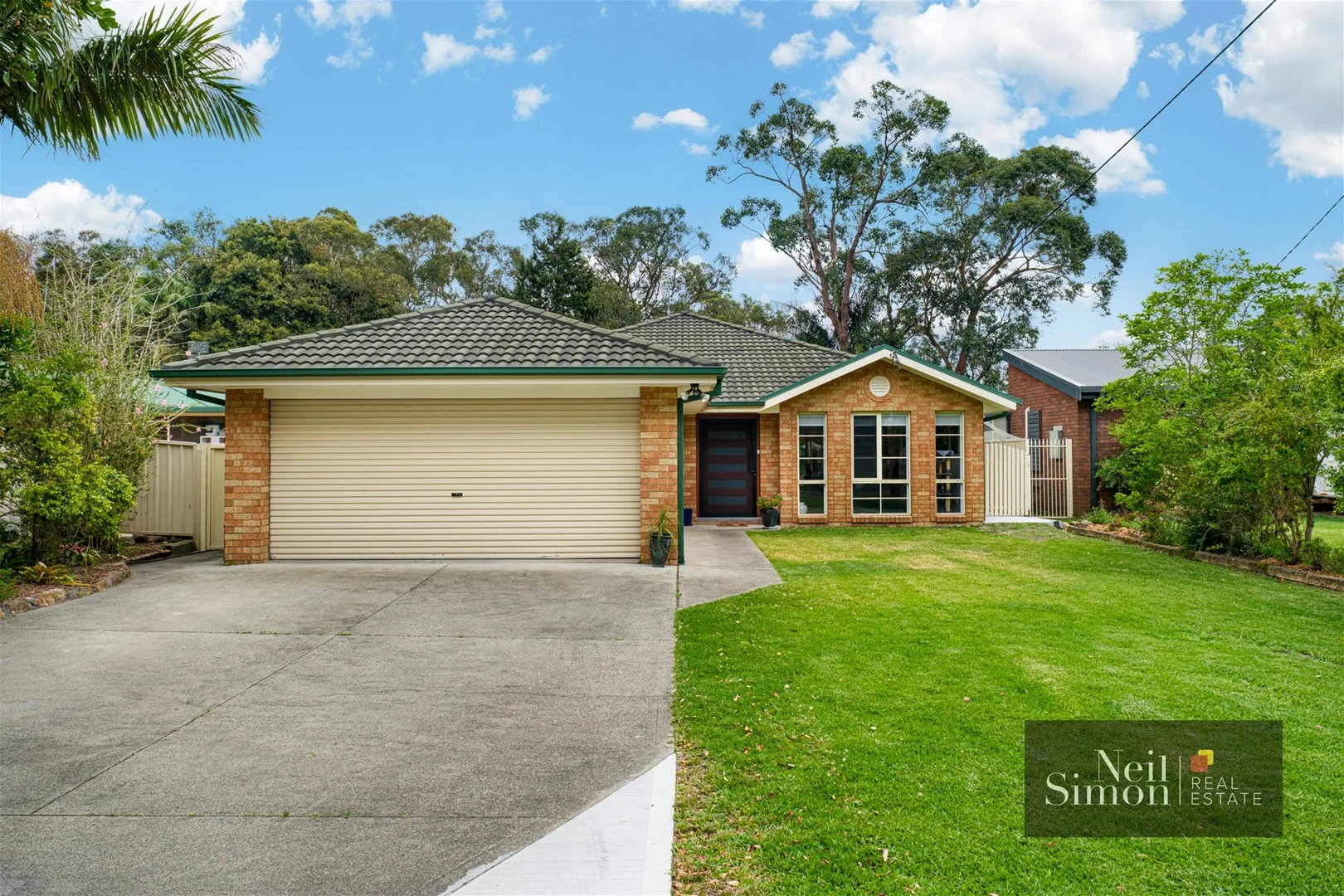
Tanilba Bay, NSW 2319
Land Size: 697 m²
Property Type: House
Listing Type: Residential
Status: Active
Summary: Stylish, Single-Level Living Renovated & Move-In Ready
Description: Positioned in a sought-after pocket of Tanilba Bay, 42 President Poincaré Parade presents an exceptional opportunity to secure a spacious, fully renovated brick home designed for comfortable, modern living. Set on one level, this impressive residence offers four generous bedrooms, two well-appointed bathrooms, and double garaging, making it ideal for families, downsizers or those seeking space without compromise. The heart of the home is the beautifully updated kitchen, featuring stone benchtops, quality appliances and ample storage, seamlessly flowing into the light-filled living and dining zones. Year-round comfort is assured with ducted air conditioning throughout. Step outside to the large undercover outdoor entertaining area, perfect for hosting family and friends or enjoying relaxed evenings in a private, low-maintenance setting. Located in a quiet, family-friendly street close to local shops, schools, waterfront reserves and transport, this home delivers both lifestyle and convenience. Property features include: Large, single-level renovated brick home 4 spacious bedrooms, 2 modern bathrooms Double lock-up garage Ducted air conditioning throughout Large shed and solar system panel Stylish kitchen with stone benchtops Expansive undercover outdoor entertaining area Move-in ready with nothing to do A quality home in a great location this is one you won't want to miss. Contact Neil Simon today on 0410 127 280 to arrange your inspection.
Agent: Neil Simon - office@neilsimonrealestate.com.au - 0410 127 280
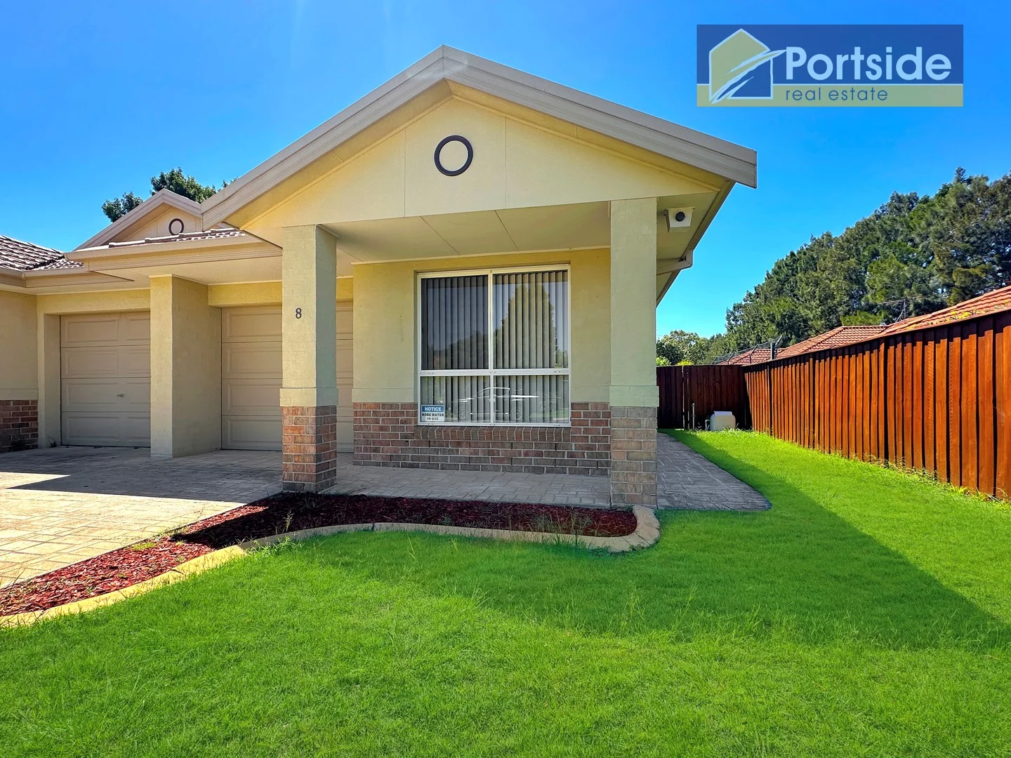
Tanilba Bay, NSW 2319
Land Size: 330 m²
Property Type: Duplex
Listing Type: Residential
Status: Active
Summary: Modern Living, Conveniently Located!
Description: This beautifully maintained single-storey duplex unit in the highly sought-after Koala Bay estate offers a fantastic opportunity for a variety of buyers. Located close to the popular Boardwalk (< 300mt), it features a single garage with internal access, two spacious bedrooms with built-in robes, a luxurious bathroom, an ensuite and walk-in robe to the main bedroom, The large open-plan lounge, kitchen, and dining area create a welcoming living space and have a seamless connection to the rear courtyard which is nicely landscaped, fully fenced, and perfect for private outdoor enjoyment. Immaculately presented, this property presents very well and is an excellent choice for those seeking low maintenance, quality and convenience in a desirable location. Features: * Modern 2 bedroom single storey duplex unit * Handy to boardwalk and facilities * Low maintenance * Private courtyard * Spearpoint (bore) watering * Solar Hot Water * Solar inverter system Disclaimer: Whilst Portside Real Estate takes great care in obtaining information from sources, we believe to be reliable - in the preparation of this advertisement and information contained herein. Portside Real Estate cannot however warrant, represent or guarantee the accuracy, or completeness of the information and therefore, cannot accept liability resulting from reliance on this information. Portside Real Estate strongly recommends potential purchasers make their own independent inquiries and investigations before purchasing.
Agent: Rodney Keers - rodkeers@portsiderealestate.com.au - 02 4982 4066
Agent: David Keers - davidkeers@portsiderealestate.com.au - 02 4982 4066
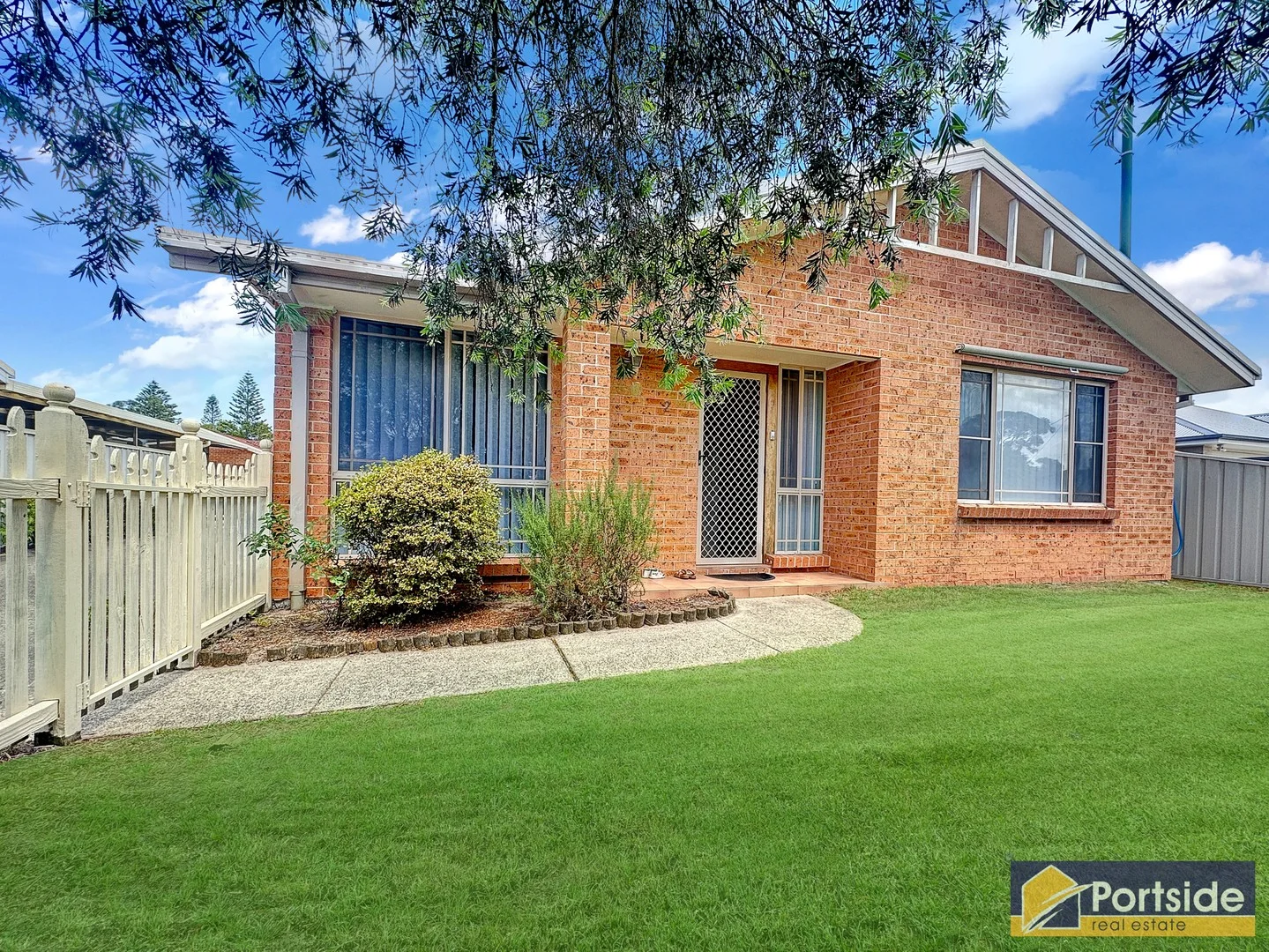
Tanilba Bay, NSW 2319
Land Size: 394 m²
Property Type: House
Listing Type: Residential
Status: Active
Summary: More than meets the eye
Description: Torrens title medium-density home with a super-efficient compact design set on a lovely low-maintenance lot providing all of the amenities of a home and a block twice its size. Featuring an air-conditioned, spacious open plan living / dining, modern kitchen, master bedroom with ensuite, two good-sized ancillary bedrooms with built-in robes, excellent 3-way bathroom, full-sized laundry and single garage with auto-door. Externally, the property includes lovely, neat front and side courtyards plus a spacious rear yard that could easily be utilised to expand the parking or add some covered outdoor entertaining. A real surprise packet, a bit like Dr Who's Tardis, much bigger on the inside than it appears from the outside. Disclaimer: Whilst Portside Real Estate takes great care in obtaining information from sources, we believe to be reliable - in the preparation of this advertisement and information contained herein. Portside Real Estate cannot however warrant, represent or guarantee the accuracy, or completeness of the information and therefore, cannot accept liability resulting from reliance on this information. Portside Real Estate strongly recommends potential purchasers make their own independent inquiries and investigations before purchasing.
Agent: David Keers - davidkeers@portsiderealestate.com.au - 02 4982 4066
Agent: Rodney Keers - rodkeers@portsiderealestate.com.au - 02 4982 4066
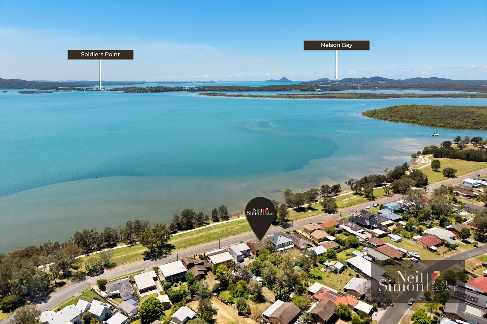
Lemon Tree Passage, NSW 2319
Land Size: 604 m²
Property Type: House
Listing Type: Residential
Status: Active
Summary: Prime North-Facing Waterfront Home, Dual Living & Endless Potential!
Description: Soak up the sunshine and serenity at this remarkable north-facing waterfront residence. An exceptional home that embodies refined coastal living at its very best. Set on over 600sqm of level land, this property captures sweeping, water views and delivers a lifestyle of space, privacy, and effortless elegance. Designed with multiple light-filled living areas and a versatile dual-living layout, this home offers a perfect balance of comfort and functionality. Every space has been crafted to embrace the tranquil outlook and natural light, creating a seamless connection between the indoors and the breathtaking waterfront beyond. Accommodation includes three generous bedrooms and three stylish bathrooms, with each zone thoughtfully positioned to ensure privacy and comfort. The master suite is a true sanctuary, spacious, beautifully appointed, and oriented to take full advantage of the panoramic bay views. Wake each morning to the glimmer of sunlight on the water and fall asleep to the gentle sound of the tide. The main living domain is the heart of the home, a grand open-plan space where the water views become part of the décor. The gourmet kitchen overlooks the living and dining areas, flowing effortlessly to the expansive outdoor terrace - the perfect setting for elegant entertaining, relaxed alfresco dining, or simply unwinding while the ever-changing colours of the bay unfold before you. Outside, the manicured level grounds offer both beauty and functionality, providing space for children to play or potential to further enhance the property with a pool or landscaped garden retreat. The north-facing orientation ensures sunshine from dawn to dusk, bathing the home in warmth and light throughout the day. This is a property that transcends the ordinary, a rare north-facing waterfront opportunity that delivers sophistication, lifestyle, and lasting value. For further details or to arrange your private inspection, please contact Neil Simon on 0410 127 280.
Agent: Neil Simon - office@neilsimonrealestate.com.au - 0410 127 280
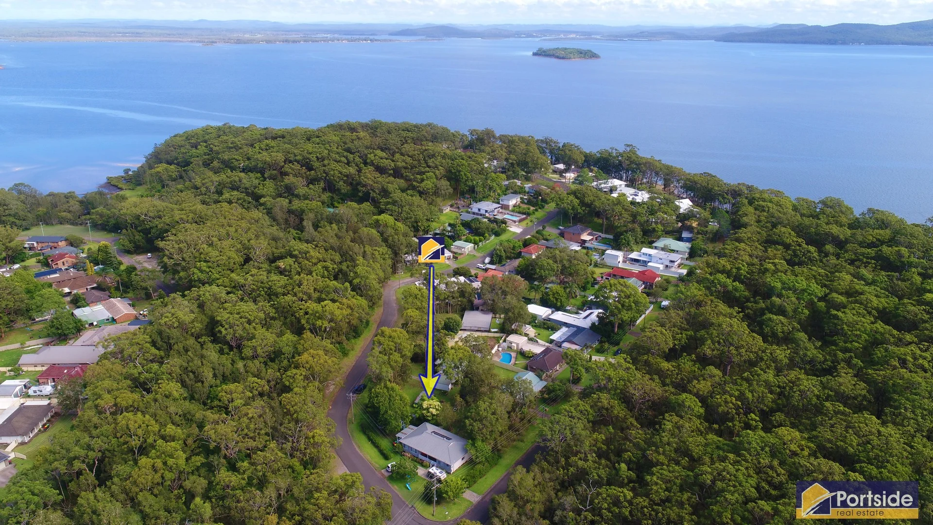
Mallabula, NSW 2319
Land Size: 917 m²
Property Type: Vacant Land
Listing Type: Residential
Status: Active
Summary: Flat Dual Frontage Land
Description: Vacant Land Opportunity! Awesome utility suits a myriad of potential developments, from town-houses, duplexes or retirement villas due to dual frontage and flat level characteristics of the land (STCA). A beautifully flat, dual frontage, generous parcel of vacant land (917sq. mt approx) in a sought-after corner of Mallabula. Nestled between two bushland reserves and ideally located within 250 metres of the waterfront reserve and Jetty at Rookes Point. This increasingly rare commodity presents an excellent opportunity to secure something special, perfect for that palatial coastal abode or a medium-density development (STCA). Disclaimer: Whilst Portside Real Estate takes great care in obtaining information from sources, we believe to be reliable - in the preparation of this advertisement and information contained herein. Portside Real Estate cannot however warrant, represent or guarantee the accuracy, or completeness of the information and therefore, cannot accept liability resulting from reliance on this information. Portside Real Estate strongly recommends potential purchasers make their own independent inquiries and investigations before purchasing.
Agent: David Keers - davidkeers@portsiderealestate.com.au - 02 4982 4066
Agent: Rodney Keers - rodkeers@portsiderealestate.com.au - 02 4982 4066
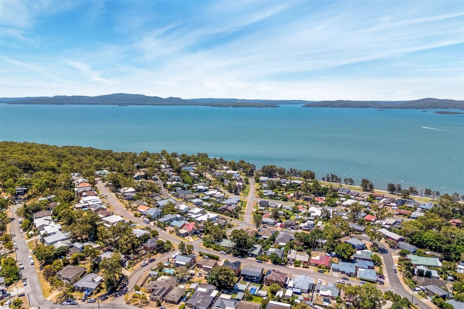
Lemon Tree Passage, NSW 2319
Land Size: 668 m²
Property Type: House
Listing Type: Residential
Status: Active
Summary: Spacious, Light-Filled Brick Home on a Generous 668sqm Block
Description: Positioned in a quiet and well-established pocket of Lemon Tree Passage, 15 Whitbread Drive presents an outstanding opportunity to secure a solid, well-maintained home on a generous 668 square metre parcel of land. Ideal for first home buyers, investors, or those seeking a comfortable home with future potential, this property combines space, natural light, and practicality. The north-facing brick residence is filled with natural sunlight throughout the day, creating a warm and inviting atmosphere. Recently refreshed with new paint, the home is neat, tidy, and move-in ready. Accommodation includes three well-sized bedrooms, a central bathroom, and functional living spaces designed for easy everyday living. Offering two car spaces and excellent outdoor space, the large block provides plenty of room for children and pets to play, as well as scope for future improvements such as extensions, a shed, or additional landscaping (subject to council approval). The solid brick construction ensures durability and long-term appeal, making this a smart and reliable investment. Located close to local shops, schools, parks, and the waterfront, this home delivers a relaxed coastal lifestyle while remaining practical for everyday convenience. Whether you're looking to enter the property market, downsize to a manageable home, or add a quality asset to your investment portfolio, this property represents exceptional value. For further information or to arrange an inspection, please contact Neil Simon on 0410 127 280.
Agent: Neil Simon - office@neilsimonrealestate.com.au - 0410 127 280
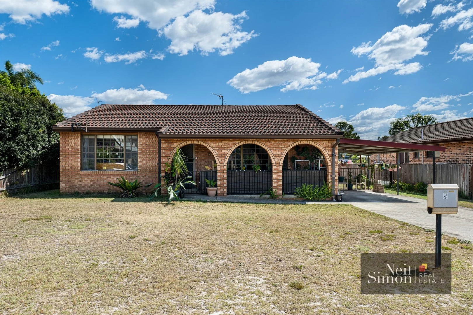
Mallabula, NSW 2319
Land Size: 621 m²
Property Type: House
Listing Type: Residential
Status: Active
Summary: Coastal Comfort and Convenience
Description: Nestled in a peaceful street just a short stroll from the water's edge, 5 Hartford Street, Mallabula offers relaxed coastal living in a sought-after location. This charming single-level brick home features two bedrooms, one bathroom, and a low-maintenance layout perfect for downsizers, first home buyers, or investors. Enjoy an easy lifestyle surrounded by nature, with pet-friendly parks, walking tracks, and waterfront reserves all just moments away. The sunny yard provides space to unwind or entertain, while the solid brick construction ensures lasting value and comfort. Whether you're looking for a serene weekender, a permanent coastal retreat, or an investment opportunity with a current tenant in place, in a high-demand pocket, this property delivers excellent potential and position. Highlights: Two-bedroom single-level brick home Neat and functional kitchen and bathroom Quiet street, short walk to water and parks Ideal for downsizers, first home buyers, or investors Easy-care yard and established setting Discover the relaxed charm of Mallabula living where coastal simplicity meets everyday convenience. For more information or to book a viewing, please contact Mary Breaden on 0418 264 270
Agent: Neil Simon - office@neilsimonrealestate.com.au - 0410 127 280
Agent: Mary Breaden - Mary@neilsimonrealestate.com.au - 0418264270
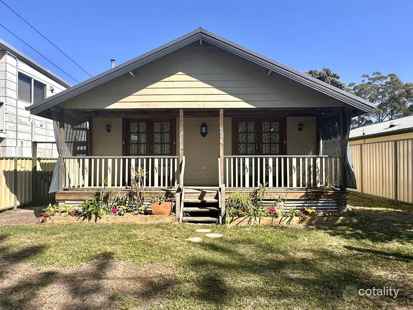
Tanilba Bay, NSW 2319
Land Size: 483 m²
Property Type: House
Listing Type: Residential
Status: Active
Summary: A Home with Heart, Space & Style
Description: Deceivingly spacious and rich in character, this beautifully presented home is far from standard and offers a warm, inviting atmosphere from the moment you arrive. Thoughtfully designed with comfort and functionality in mind, the residence showcases three generous bedrooms, all fitted with built-in wardrobes and ceiling fans, providing excellent accommodation for families, downsizers or investors alike. At the heart of the home is a well-appointed kitchen featuring quality appliances, ample cupboard and drawer storage, and excellent bench space, seamlessly servicing the living and dining areas. The stunningly renovated bathroom is a true highlight, complemented by a separate powder room for added convenience, while the spacious laundry offers additional storage and practicality. Multiple living zones enhance the home's versatility, including a welcoming front lounge room with a dedicated computer or study nook, a separate storage room, and a large second living area complete with split-system air conditioning - ideal for relaxed everyday living or entertaining. Solid timber flooring flows throughout the home, which has also been freshly painted, creating a crisp, modern feel while retaining its original charm. Step outside to enjoy the inviting front deck, perfect for morning coffees or evening relaxation. The impressive 2.7m side access leads to a spacious, level backyard offering plenty of room for children, pets, or future enhancements, and is complete with a garden shed for added storage. Perfectly positioned in a central and highly convenient location, this home is just a short distance from Tanilba Bay Shopping Centre, local clubs, cafés, and Tanilba Bay Public School. The beautiful waterfront, boardwalks, parks, and foreshore are also nearby, offering an enviable coastal lifestyle with everything you need at your doorstep. A charming and generously proportioned home in a sought-after location - this is an opportunity not to be missed.
Agent: Louise Highnam - louise.highnam@nbltp.rh.com.au - 4982 4519