33/1C Kooringa Road
Chatswood, NSW 2067
Neighbourhood & everyday essentials
Explore around Chatswood, from school days to weekends.
Find schools, playgrounds and children’s classes. Browse by age to plan school days and weekends.
Area figures
- residents (ABS, June 2024)
- 139,047
- children aged 0–14
- 20,414
- schools
- 33
- parks & libraries
- 56
- kids’ activity providers listed
- 43
Most-listed activities: Tennis, Swimming, Adventure & Camping
Population figures: Australian Bureau of Statistics
Explore local libraries, community spaces, schools and council programs across the wider area.
Parks, playgrounds & public spaces
Mashman Park
Victoria Ave, Chatswood, New South Wales, 2067
294 m straight-line distance
Bales Park
Stanley St, Chatswood, New South Wales, 2067
391 m straight-line distance
Muston Park
Penshurst St, Chatswood, New South Wales, 2067
607 m straight-line distance
Beauchamp Park
Nicholson St, Chatswood, New South Wales, 2067
820 m straight-line distance
Beauchamp Park: Toilets, Parking, BBQ facilities
Things to do near this home
Explore nearby play centres and family attractions from the directory. Check ages, entry prices and opening hours with the venue.
Browse things to do with kids in Sydney
Find more ideas by age, budget and indoor or outdoor setting on Things to do. Dated events are in What’s on. See what’s on
Discover local guides & family ideas
Read local family guides and practical articles as you explore life around this home.
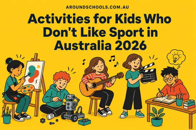
Activities for Kids Who Don't Like Sport in Australia 2026
If your child is not a sporty kid, the shortage you are running into is real and it is measurable. Across the 7,949 kids' activities listed on AroundSchools as at 5 September 2026, 87% are sport.…
Read more →
Sydney Private School Scholarships 2028: Dates & Schools
Sydney's 2028-entry scholarship applications are already under way. MLC School's registrations have closed, while Tara, Meriden, Santa Sabina and Monte publish application links for the new round.…
Read more →Everyday essentials & getting around
Open the map to choose a destination and check journey times from this address. Walking routes, step-free access and travel times have not been verified.
Flood & development checks
Property-specific flood risk and announced developments have not been verified. Search this address in the official maps and ask the council for current flood information.
Source: AroundSchools directory. Distances are straight-line distances, not walking routes. Confirm facilities on the linked detail pages. Directory update dates are not supplied for this summary.
Property Details
Apartment / Unit / Flat
RESIDENTIAL
Upcoming Events Nearby

Mon, 16 Mar · Willoughby
Pottery class - Silky Shapes Studio | 17-Mar to 19-Dec-2026 🫙
Ages 10–85
Thu, 22 Oct · Lane Cove
50 Years of Delvena Refuge
Wed, 31 Dec · Brookvale
Free Trial - AAGI | 1st Jan to 23rd Dec-2026
Ages 1–18
Wed, 31 Dec · Brookvale
Birthday Parties - AAGI | 1st Jan to 20th Dec-2026
Ages 2–18
Sat, 24 Oct · Brookvale
Brookvale Halloween Festival 2026
Thu, 26 Nov · Burwood
FREE Kids STEAM Club (9 to 12 year olds) - Burwood Council | Monthly Activity till November
Ages 9–12
What's Nearby

Creative Sounds School
128B Mowbray Rd, Willoughby

Silky Shapes Studio
6 Prentice Ln, Willoughby

Centre Stage Academy
1A Freeman Road, Chatswood

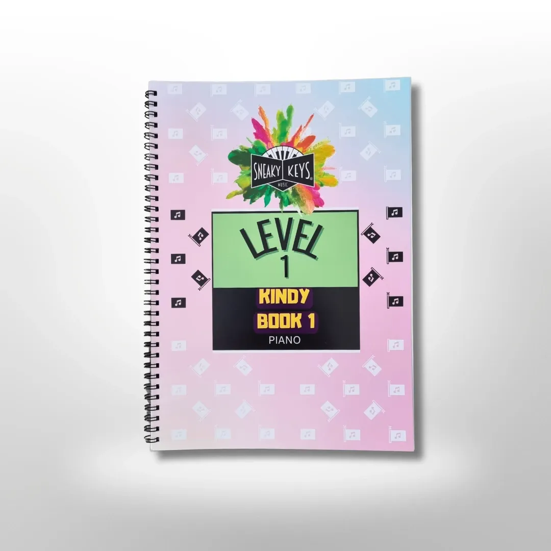
Sneaky Music
Northbridge

Art and Soul Studio
48 Killarney Dr, Killarney Heights

Swim Development Australia
Osborne rd Greenwich, Sydney

Base Music
Suite 102 25 Falcon Street, Crows Nest

Karate for Kids
2 Bradfield Road,, Lindfield

Get Boxing
2 Bradfield Rd, Lindfield
Nearby Schools

St Thomas' Catholic Primary School
2 Horsley Avenue, Willoughby NSW 2068 Australia

Mercy Catholic College
101 Archer Street, Chatswood NSW 2057 Australia

Willoughby Girls High School
Willoughby, NSW, 2068

Willoughby Public School
Oakville Rd, Willoughby NSW 2068, Australia

Our Lady of Dolours Primary School - Chatswood
94A Archer Street, Chatswood NSW 2057 Australia

St Pius X College - Chatswood
35 Anderson Street, Chatswood NSW 2067 Australia
Nearby schools do not imply enrolment eligibility. Confirm catchments, year levels and childcare availability directly with the provider.
Nearby Properties
Address withheld
St Leonards, NSW 2065
$2,824,000
A List Auctioneers Estate Agents
Address withheld
Macquarie Park, NSW 2113
$1,525,000
A List Auctioneers Estate Agents
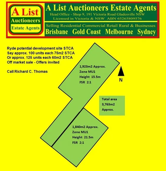
Address withheld
Ryde, NSW 2112
$36,000,000 – $39,500,000
A List Auctioneers Estate Agents
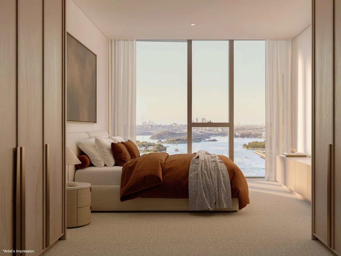
4003/8 Darling Drive
Sydney, NSW 2000
$8,630,000
Mirvac Residential NSW
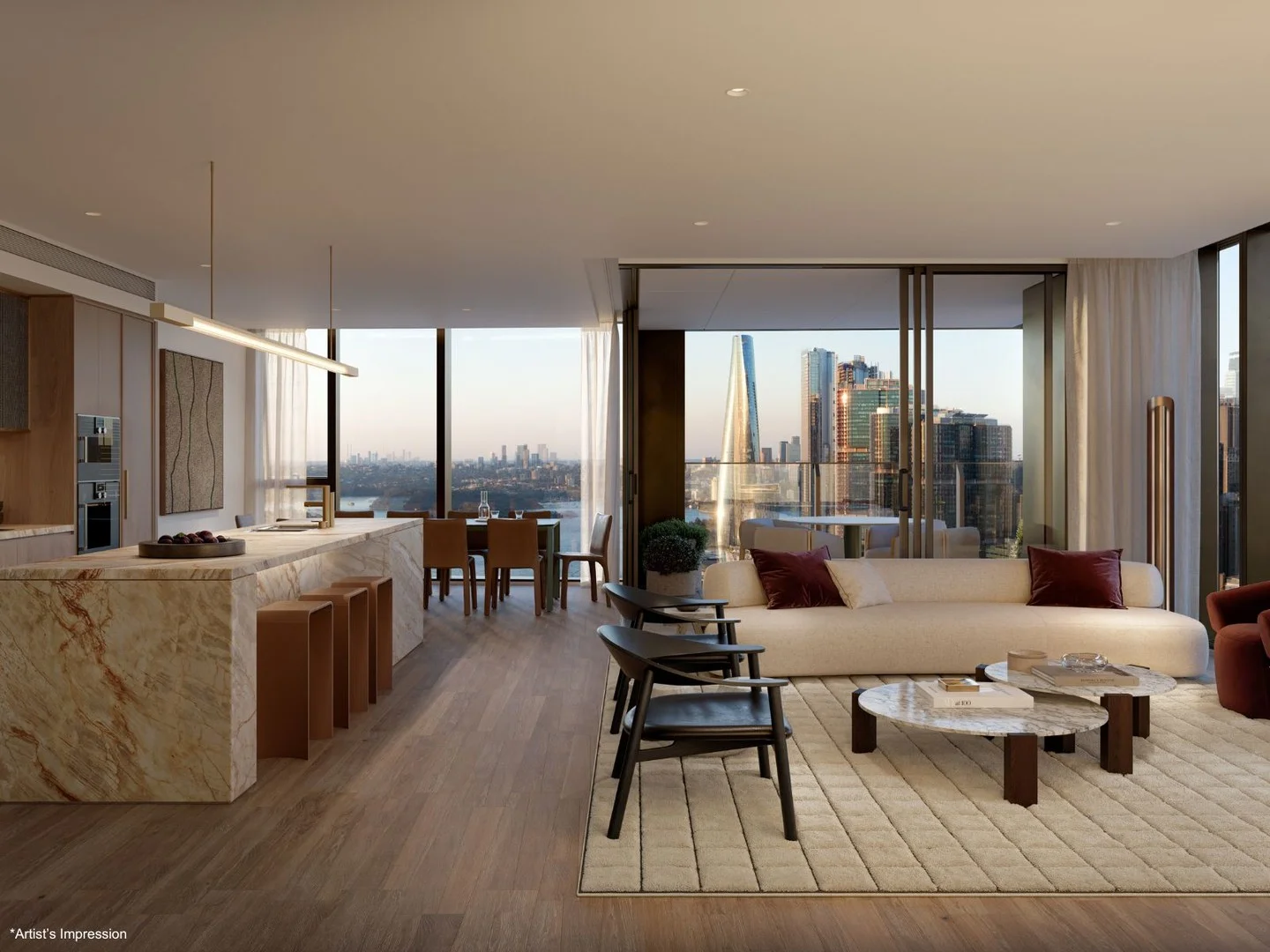
4005/8 Darling Drive
Sydney, NSW 2000
$12,980,000
Mirvac Residential NSW
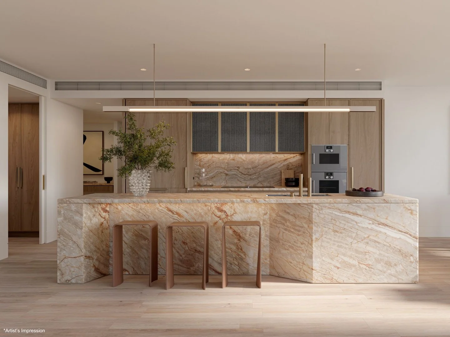
2608/8 Darling Drive
Sydney, NSW 2000
$6,225,000
Mirvac Residential NSW
Recently sold nearby
Homes that have sold close to this address. We don’t show sale prices.
Chatswood, NSW 2067
Property Type: Apartment / Unit / Flat
Listing Type: Residential
Status: Active
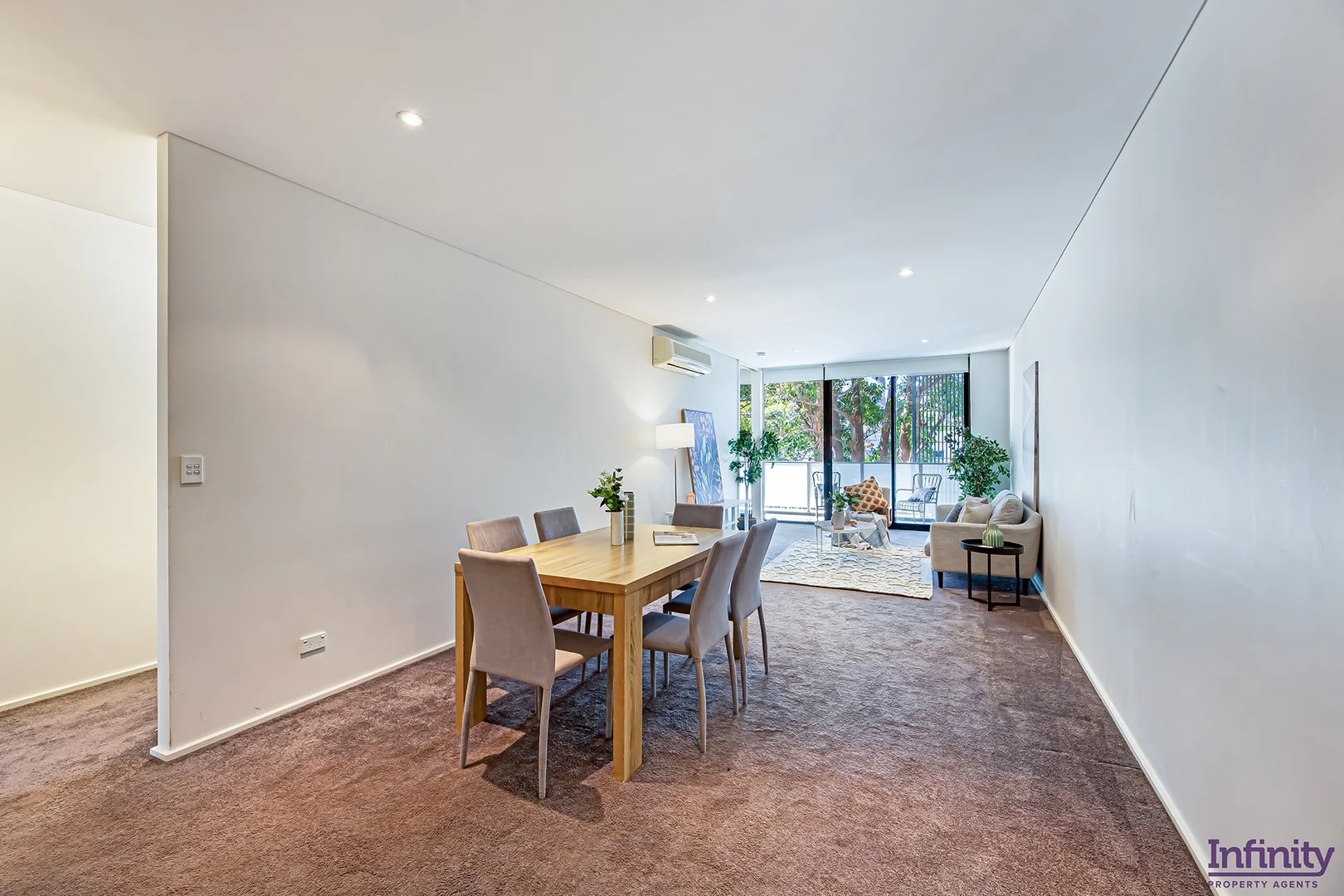
Summary: ULTRA MODERN 2 BEDROOMS WITH PARKING IN THE HEART CHATSWOOD
Description: Centrally located in a modern boutique, 'The Archer' complex, this impeccably presented contemporary two-bedroom apartment with its north easterly aspect provides plenty of natural light and a peaceful outlook. The property is opposite Chatswood Chase and a short stroll to good schools and Chatswood train station. Key features include: - Deep open plan living and dining area with air conditioning and a wide covered entertaining balcony, plus separate courtyard - Gourmet gas-equipped kitchen with Smeg stainless steel appliances - Full-length glass doors allow easy indoor/outdoor flow - Generous air-conditioned bedrooms, both with built-in wardrobes - Chic bathrooms tiled floor-to-ceiling, including master ensuite - Relaxing leafy outlooks and landscaped common gardens - Secure basement car space with lift access Property Specifications: Total: 135m² Internal plus Balcony: 115m² Car Park: 16m² Storage: 4m² Quarterly levies are approximately: Strata Levies $1842 Council rates $328 Water rates $180 Please contact Michael or Anthony at Infinity Property Agents for further details. Saturday open for inspection times will be listed online by 12:00 pm on Friday.
Agent: Michael Kurosawa - mk@infinityproperty.com.au - 02 9699 1489
Agent: Anthony Fadel - anthony@infinityproperty.com.au - 9698 7504
Willoughby, NSW 2068
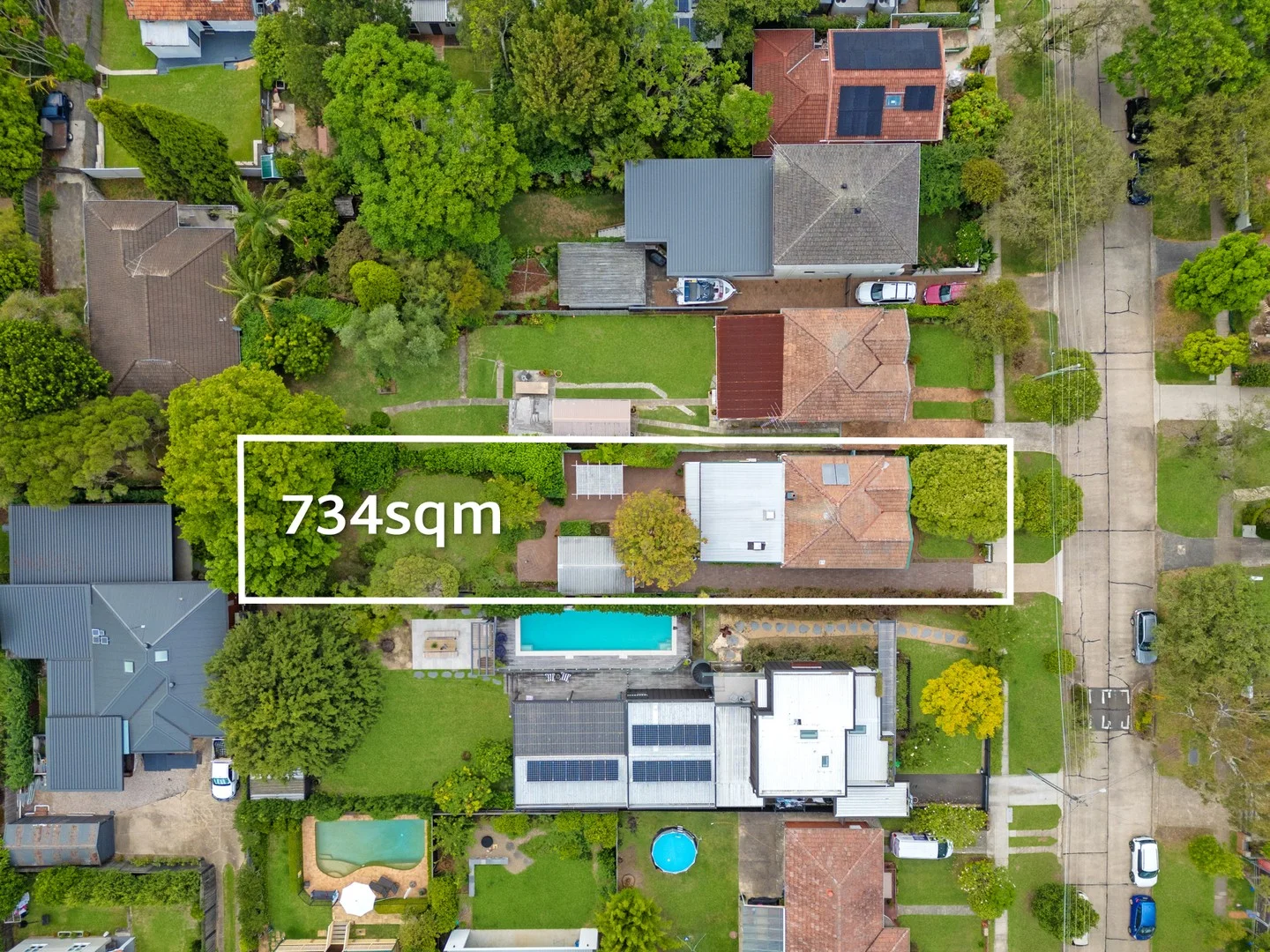
Land Size: 734 m²
Property Type: House
Listing Type: Residential
Status: Active
Summary: Charming Family Home of Exciting Possibilities in Sought-After Address
Description: Resting on a deep and level 734sqm, this enchanting c.1927 bungalow is brimming with extraordinary future potential. Tightly held and lovingly maintained by one family for more than half a century, it reveals immaculate interiors of timeless elegance and a choice of relaxed living spaces. Outdoors, idyllic alfresco entertaining is framed by storybook gardens children will adore. Instantly liveable with wonderful scope for a contemporary renovation, it also presents visionary buyers with an exceptional development opportunity (STCA). Centrally positioned in the highly desired North Willoughby with Harris Farm, Chatswood CBD, elite schools and city transport only moments away. - Full brick single level home blessed with high ornate ceilings and timber floors - Formal family lounge, relaxed L-shaped living/dining opens to idyllic balcony - Expansive sun-drenched patio with covered entertaining and stunning backyard - Neat and tidy gas kitchen, well-presented bathroom with separate shower/bath - Generous bedrooms feature large built-in wardrobes plus third bedroom or study - Powder room, split system air conditioning, gas fireplace, single lockup garage - Castle Cove Public, Willoughby Girls, Killarney Heights High School catchments Disclaimer: the information provided is for general informational purposes only and is not intended as legal, financial, or real estate advice. While every effort is made to ensure the accuracy of the information, we make no guarantees regarding its completeness or accuracy. Prospective parties are encouraged to conduct their own independent investigations. We are not responsible for any liabilities that arise from use of information provided.
Agent: Daniel Campbell - dcampbell@dijones.com.au
Agent: Rawa Norman - rnorman@dijones.com.au - 0419 271 655
Agent: Grace Gu - ggu@dijones.com.au
Chatswood, NSW 2067
Land Size: 367 m²
Property Type: House
Listing Type: Residential
Status: Active
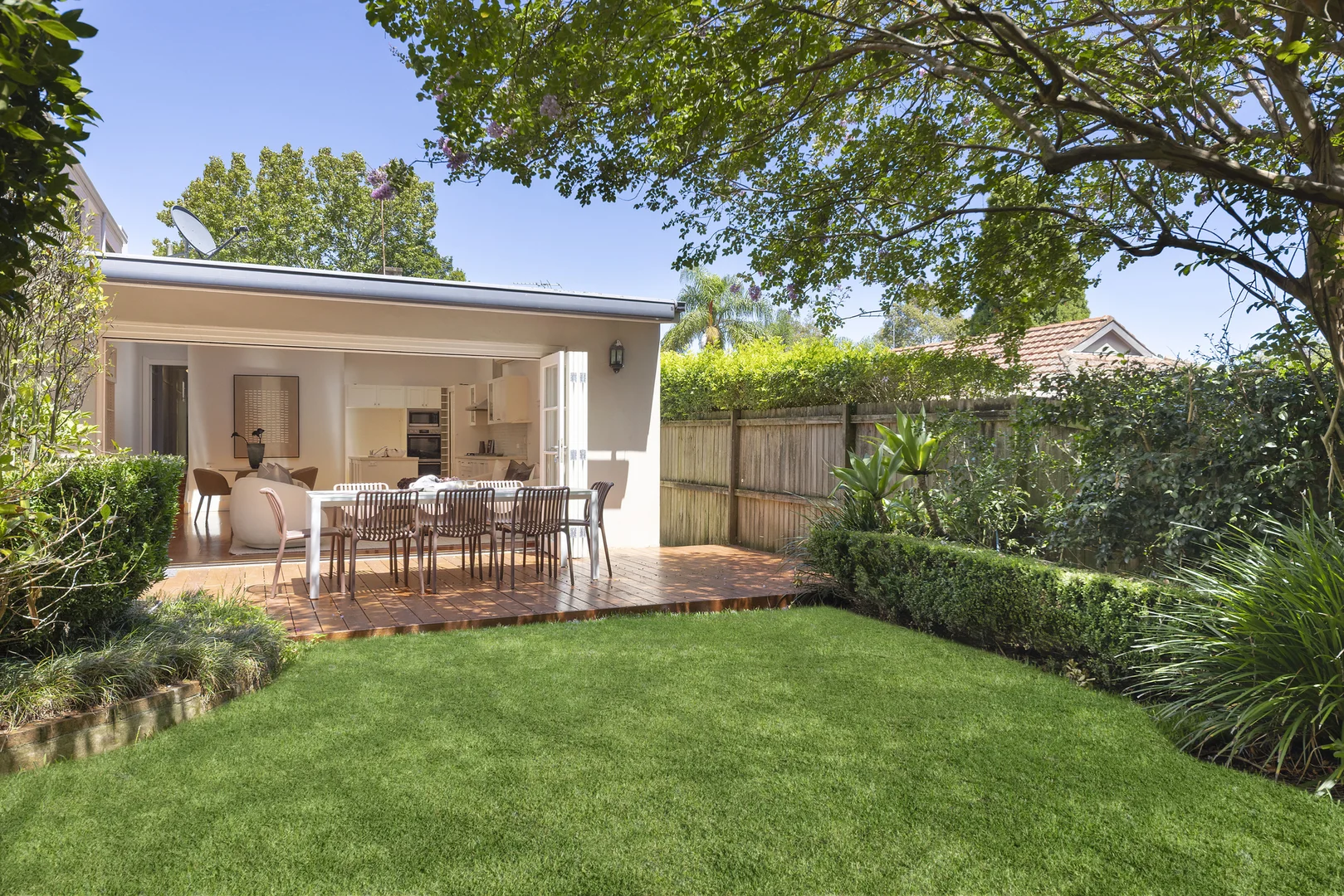
Summary: Charming Californian bungalow with tranquil garden oasis
Description: Beyond its timeless character facade, this captivating Californian bungalow effortlessly marries original period appeal with quality modern enhancements encouraging a family friendly lifestyle in a prized tranquil pocket. Accented with high ornate ceilings and warm timber floorboards, the functional design incorporates a welcoming living zone stepping down to a generous open plan family/dining room illuminated by three large skylights. Bi-fold doors create a seamless level flow to the private garden oasis complete with versatile studio or kids' playroom and the thoughtful layout includes a stylish Caesarstone finished kitchen and charming sunroom/study. Nestled away yet outstandingly convenient, it's a short walk to Chatswood's CBD and shopping precinct, city buses, Penshurst Street eateries and local parks, while residing in the catchment for esteemed Willoughby Girls' High and Roseville Public School. Key features: Central lounge room features elegant detailed ceilings Wide family/dining zone highlighted with a raked ceiling Timber entertaining deck adjoins child-friendly lawns Gas kitchen features stainless appliances and dishwasher Serene double bedrooms appointed with built-in wardrobes Classic bathroom offers bath tub, separate European laundry Hardwood floors, decorative gas fireplace and picture rails Split air conditioning and cosy gas fireplace in lounge room Ideal choice for young families, walk to all amenities Stroll to popular local cafes and Harris Farm Markets Best suited for: Buyers seeking a charming family friendly home fusing character appeal with modern enhancements and a tranquil private garden.
Agent: Peter Kakos - peterkakos@atlas.com.au - 02 8311 6000
Agent: Alicia Chen - alicia.chen@atlas.com.au - 02 8311 6000
Willoughby, NSW 2068
Property Type: Apartment / Unit / Flat
Listing Type: Residential
Status: Active
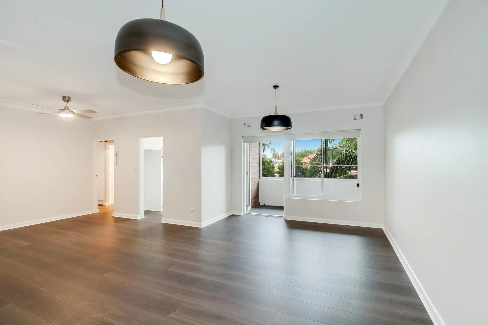
Summary: Oversized renovated apartment in excellent location (Open Sat 23rd 10:30-11am)
Description: Combining older style grace with cosmopolitan convenience, this quiet, very spacious apartment offers an appealing lifestyle at the edge of the Willoughby/ Chatswood shopping precinct. Located at the rear of the block on the top floor, the apartment has generously proportioned rooms. The floor plan provides a large living/ dining room, kitchen, 2 big double size bedrooms, Modern renovated bathroom and private balcony. With the bus at the door, the apartment's minutes walk to cafes restaurants, schools & Chatswood. Strata Levies $1,674.75 1/4
Agent: Martin Forward - martin@oneagency.com.au - 0299589000
Agent: Ben Katari - benk@oneagency.com.au
Willoughby, NSW 2068
Property Type: House
Listing Type: Residential
Status: Active
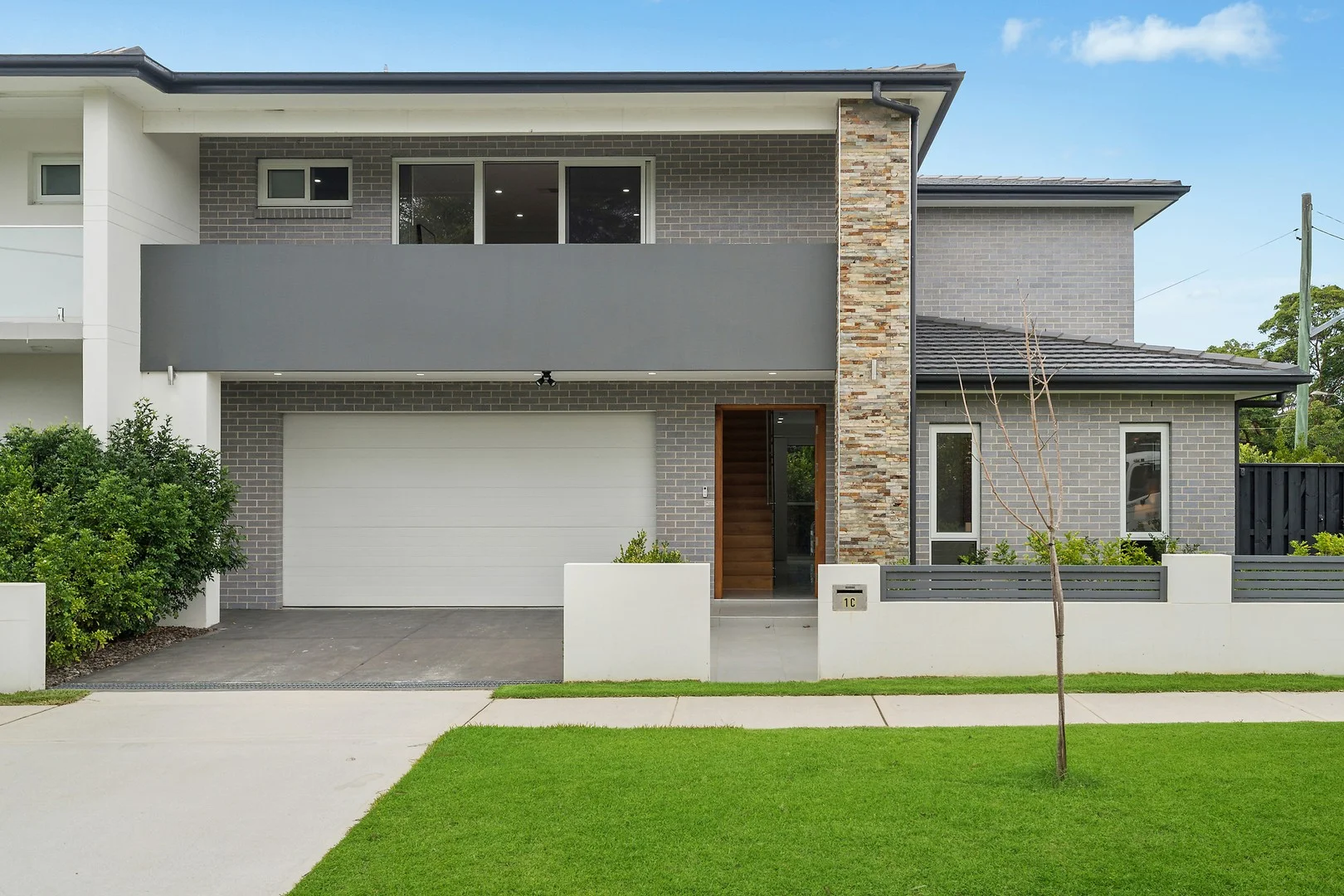
Summary: Spacious, Stylish & Perfectly Located A Must-See Willoughby Duplex
Description: Soaring ceilings and an abundance of natural light create a warm, welcoming atmosphere throughout, while the seamless indooroutdoor flow leads to a spacious alfresco and sun-filled garden, perfect for entertaining or relaxing with family and friends. Positioned in a highly sought-after location, this beautifully designed modern duplex showcases contemporary style and effortless living. Offering five generous bedrooms - with one ideal as a home office or guest retreat - the versatile layout caters perfectly to families and professionals alike. Conveniently located close to leading schools and excellent transport links, this home delivers the perfect balance of luxury, comfort, and everyday convenience. - Sleek modern kitchen with quality appliances and breakfast bar - Five spacious bedrooms, master with ensuite and walk-in robe - Expansive terrace flowing to a large, level garden - Automatic garage, ducted air-conditioning, and intercom system - Within the catchment for Willoughby Public School, Willoughby Girls High School & Chatswood High School Disclaimer: the information provided is for general informational purposes only and is not intended as legal, financial, or real estate advice. While every effort is made to ensure the accuracy of the information, we make no guarantees regarding its completeness or accuracy. Prospective parties are encouraged to conduct their own independent investigations. We are not responsible for any liabilities that arise from use of information provided.
Agent: Nathaniel Smith - nsmith@dijones.com.au
Agent: Mendy Lau - mlau@dijones.com.au - 02 8047 9829
Willoughby, NSW 2068
Property Type: Apartment / Unit / Flat
Listing Type: Residential
Status: Active
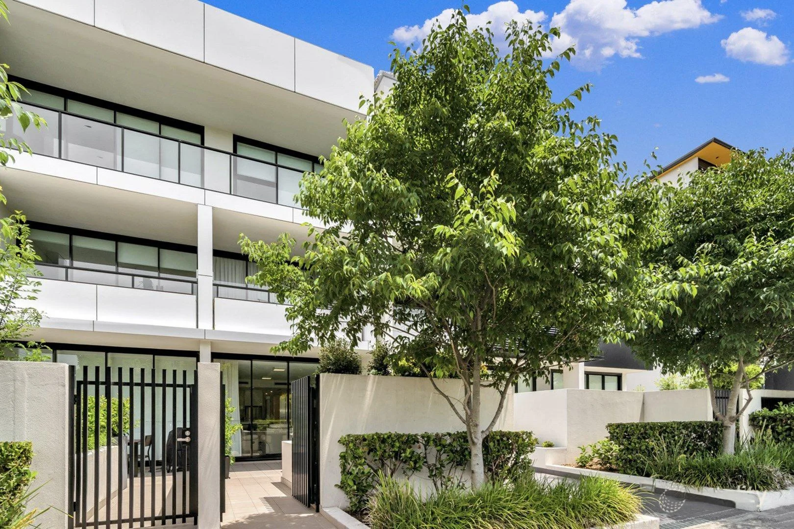
Summary: BUILDING RECORD - OFF MARKET SALE BY TONY BELLIA
Description: Beautiful one bedroom ground floor unit located in prime location close to all amenities. Offering security parking, two terraces and storage cage.
Agent: Tony Bellia - tony@forsyth.com.au - 02 9419 7411
Agent: James Snodgrass - james@forsyth.com.au - 02 9419 7411
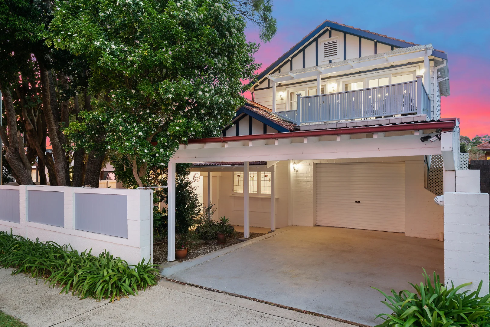
Willoughby, NSW 2068
Land Size: 545 m²
Property Type: House
Listing Type: Residential
Status: Active
Summary: Delightful family hideaway with inspired entertaining and garden sanctuary
Description: Poised for convenience in one of Willoughby's most sought-after streets, this c1925 Californian bungalow has been transformed into a stunning family haven. Tastefully blending period charm with contemporary verve, it reveals sun washed living that flows to a magical alfresco sanctuary enhanced by sun washed alfresco entertaining. Superb appointments include a stone kitchen, luxe main bathroom and large bedrooms. Steps from Willoughby Park and High Street shops, convenient to top schools and minutes to Chatswood CBD. - Premier north-to-rear aspect delivers light-filled open plan living and dining - Family lounge features wood-burner fireplace and adjoining sunroom or study - Alfresco entertaining deck, tropical pool and level lawn, lush mature gardens - Caesarstone gas kitchen, stylish main bathroom with rainfall shower and bathtub - Spacious bedrooms with built-ins and study areas, huge master with walk-in robe - Attic storage, European laundry, air conditioning, single garage, gated carport Disclaimer: the information provided is for general informational purposes only and is not intended as legal, financial, or real estate advice. While every effort is made to ensure the accuracy of the information, we make no guarantees regarding its completeness or accuracy. Prospective parties are encouraged to conduct their own independent investigations. We are not responsible for any liabilities that arise from use of information provided.
Agent: Daniel Campbell - dcampbell@dijones.com.au
Agent: Rawa Norman - rnorman@dijones.com.au - 0419 271 655
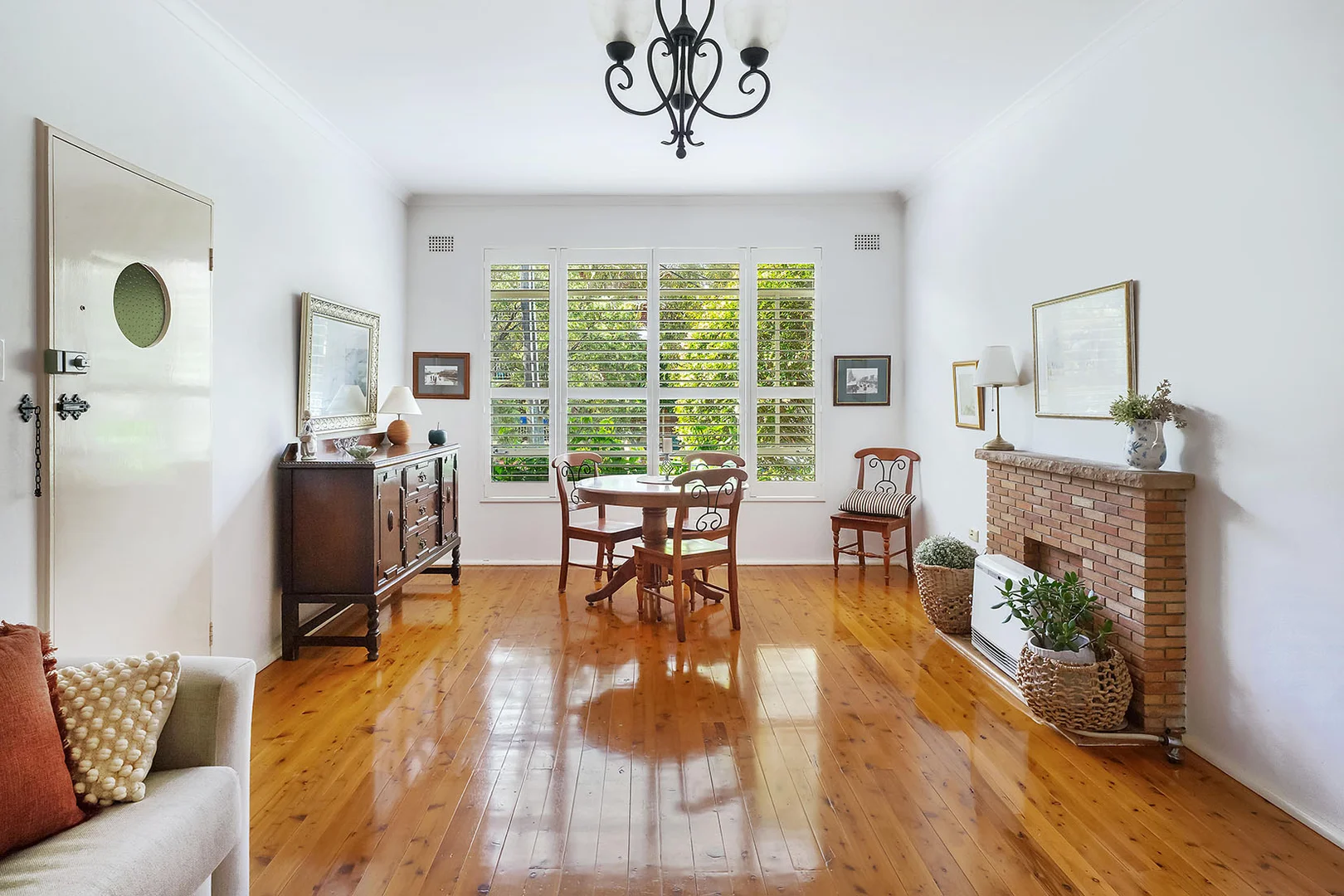
Willoughby, NSW 2068
Property Type: Apartment / Unit / Flat
Listing Type: Residential
Status: Active
Summary: Bright & Beautifully Presented Ground Floor Near Level Access
Description: AGENTS: JAMES MARSHMAN 0412 458 806 & TONY BELLIA 0403 070 558 Just move into this superb bright & airy approx. 70sqm company title apartment, in a lovely, quiet and convenient location, on the corner of Church Street. The perfect first home, downsize or investment Just 5 easy stairs to front door & 3 easy stairs to rear garden Sunny Northern Aspect in living room & kitchen Stylish living room with polished timber floors & air-conditioner Gourmet gas kitchen with new dishwasher Two double bedrooms (main with built ins) Newly renovated bathroom Conveniently located communal laundry near clothes lines & private level rear garden Large single lock up garage Quick car & transport access to City & Chatswood Minutes walk to High Street shops, cafes & Willoughby Public & Girls schools. Maintenance Levy $2,156.66 per quarter (incl. water) Council $380 per quarter (approx) INSPECT: Sat/Wed 10 10:30am Disclaimer: Forsyth Real Estate believes that this information is correct but it does not warrant or guarantee its accuracy. Certain information has been obtained from external sources. All interested parties should make and rely upon their own enquiries in order to determine whether or not this information is in fact accurate. We do not accept any responsibility to any person for its accuracy and do no more than pass it on. Figures may be subject to change without notice.
Agent: James Marshman - james.marshman@forsyth.com.au - 02 9410 4837
Agent: Tony Bellia - tony@forsyth.com.au - 02 9419 7411
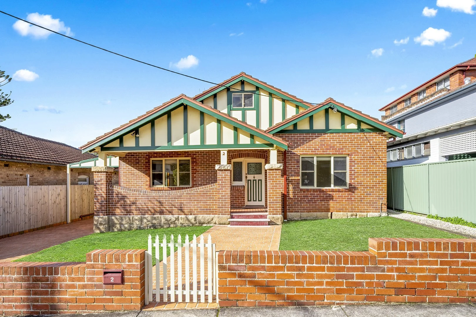
Chatswood, NSW 2067
Land Size: 556 m²
Property Type: House
Listing Type: Residential
Status: Active
Summary: Exceptional Size and Location- Rare Opportunity with Dual-Living
Description: Located in one of Chatswood's most sought-after streets, 2 Blakesley Street is a beautifully maintained, solid full brick residence, that blends spacious family living with ultra convenience. Set on a low-maintenance block, the property offers outstanding flexibility with a fully self-contained granny flat—perfect for extended family, guests, or additional income. Main House Highlights: - 4 Double sized bedrooms, 3 bathrooms, with ensuite and built-in to the master bedroom - Combined lounge & dining with open plan kitchen plus separate family room - Large attic style study, Ideal for a home office, creative space or rumpus room - Timber floors and high ceilings throughout. Well presented, low-maintenance gardens - Ample Off-Street Parking with 3 undercover car spaces Self-Contained Granny Flat: - Private entrance to this bright & sunny granny flat, spacious living and dining - Large bedroom with built-in, modern kitchen & bathroom. Versatile attic space for additional storage - Offering complete independence and privacy for tenants or guests Situated in a prime location, this home is just minutes from Chatswood Chase, offering premium shopping, dining, and entertainment. It boasts easy access to Chatswood Train Station and major bus routes, ensuring seamless connectivity to the city and beyond. Families will appreciate the school catchment for Chatswood Public and Chatswood High School, along with proximity to other highly regarded local schools. For outdoor enjoyment, Beauchamp Park and Bales Park are just a short stroll away. Land Size: 556.4 sqm Land width: 15.24m *Virtual furniture is included in some images
Agent: Garo Karamanian - garo@c21seiwa.com.au - 02 9411 8044