7 Woodland Street
Marrickville, NSW 2204
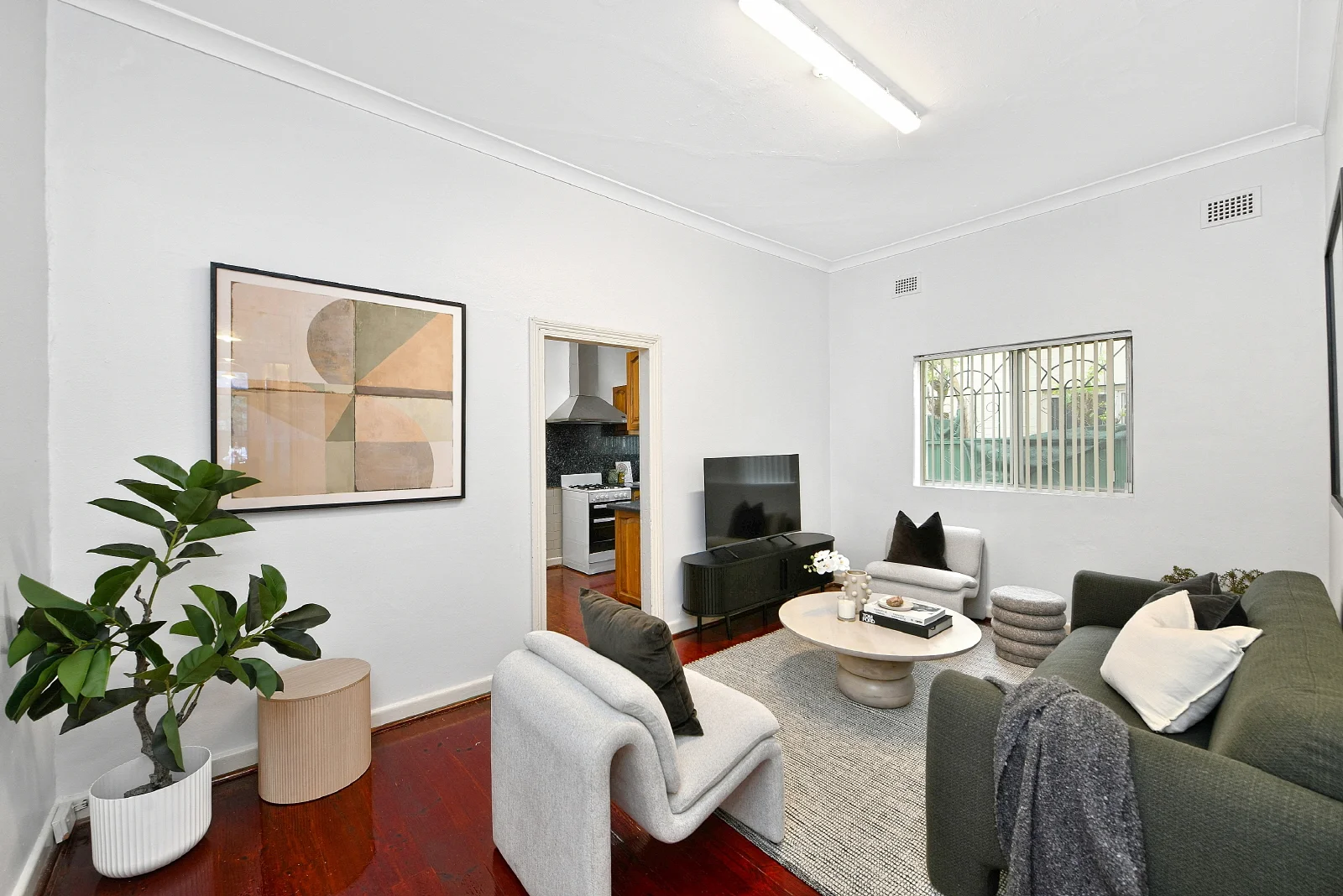
Neighbourhood & everyday essentials
Explore around Marrickville, from school days to weekends.

Area figures
- schools in Marrickville
- 8
Find schools, playgrounds and children’s classes. Browse by age to plan school days and weekends.
Area figures
- residents (ABS, June 2024)
- 190,939
- children aged 0–14
- 25,481
- schools
- 61
- parks & libraries
- 67
- kids’ activity providers listed
- 103
Most-listed activities: Tennis, Adventure & Camping, Soccer
Population figures: Australian Bureau of Statistics
Explore local libraries, community spaces, schools and council programs across the wider area.
Parks, playgrounds & public spaces
Things to do near this home
Explore nearby play centres and family attractions from the directory. Check ages, entry prices and opening hours with the venue.
Browse things to do with kids in Sydney
Find more ideas by age, budget and indoor or outdoor setting on Things to do. Dated events are in What’s on. See what’s on
Discover local guides & family ideas
Read local family guides and practical articles as you explore life around this home.
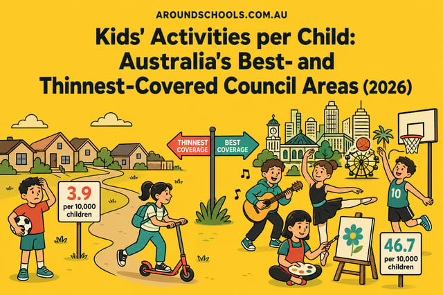
Kids' Activities per Child: Australia's Best- and Thinnest-Covered Council Areas (2026)
Across Australia's big council areas, the AroundSchools directory lists a median of about 10 kids' activity providers for every 10,000 children — but in Melbourne's Wyndham it is 3.9, and in the City…
Read more →
Most Livable Suburbs in New South Wales for Families (2026)
Sydney lists more kids' activities in our directory than any other suburb in NSW. This page ranks NSW suburbs by how much a family moving there could actually do with their kids, then adds what else…
Read more →Everyday essentials & getting around
Open the map to choose a destination and check journey times from this address. Walking routes, step-free access and travel times have not been verified.
Flood & development checks
Property-specific flood risk and announced developments have not been verified. Search this address in the official maps and ask the council for current flood information.
Source: AroundSchools directory. Distances are straight-line distances, not walking routes. Confirm facilities on the linked detail pages. Directory update dates are not supplied for this summary.
Property Details
217 m²
House
RESIDENTIAL
Upcoming Events Nearby

Tue, 13 Oct · Dulwich Hill
Storytime at ETC Library - Weekly Tuesdays from Oct 13 until Dec 15
Ages 3–5
Thu, 26 Nov · Burwood
FREE Kids STEAM Club (9 to 12 year olds) - Burwood Council | Monthly Activity till November
Ages 9–12
Sun, 1 Nov · Kogarah
Kogarah Christmas Carol
Fri, 20 Nov · Kogarah
Healthy and Active Families
Ages 6+
Sun, 1 Nov · Hurstville.
Hurstville Museum & Gallery: Open Day
Thu, 1 Oct · South Hurstville.
Term 4: Ukulele for Kids (8-12 years)
Ages 8–12
What's Nearby

Gracie Barra St Peters
Unit 3c/1-7 Unwins Bridge Road, St Peters

Tropical Soul Dance Studio
205-207 Parramatta Rd, Annandale

Primary School French Club in Annandale
25 Johnston St, Annandale

Kids French Club in Summer Hill
Moonbie Street, Summer Hill

Bonjour Babies (Summer Hill Public School NSW)
Moonbie St, Summer Hill

dance @ nikki webster
227 Catherine St, Leichhardt

The Movement Academy
33 Maddox St, , Alexandria

Wunderkinds Piano
231 King st , Mascot

Locals Jiu Jitsu Zetland
64 Epsom road , Zetland
Nearby Schools

Marrickville Public School
Chapel St, Marrickville NSW 2204

Marrickville High School
Northcote St, Marrickville NSW 2204

Wilkins Public School
31 Park Rd, Marrickville NSW 2204, Australia

Newington College
200 Stanmore Road, Stanmore NSW 2048 Australia

St Brigid's Catholic Primary School
392A Marrickville Road, Marrickville NSW 2204 Australia

Casimir Catholic College
200 Livingstone Road, Marrickville NSW 1475 Australia
Nearby schools do not imply enrolment eligibility. Confirm catchments, year levels and childcare availability directly with the provider.
Nearby Properties
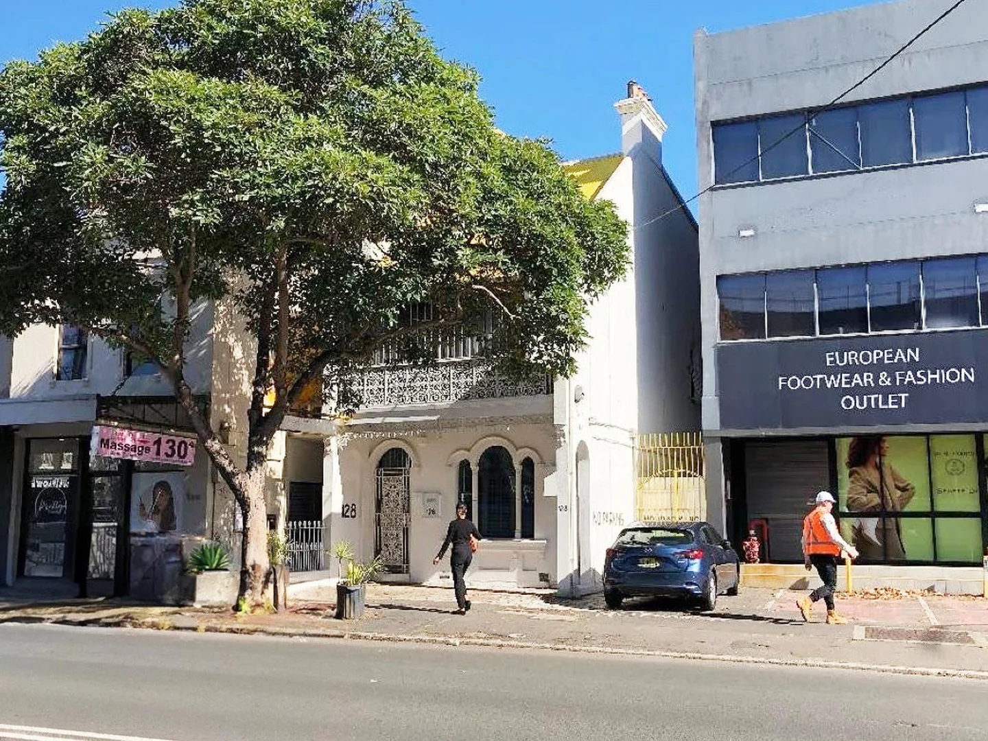
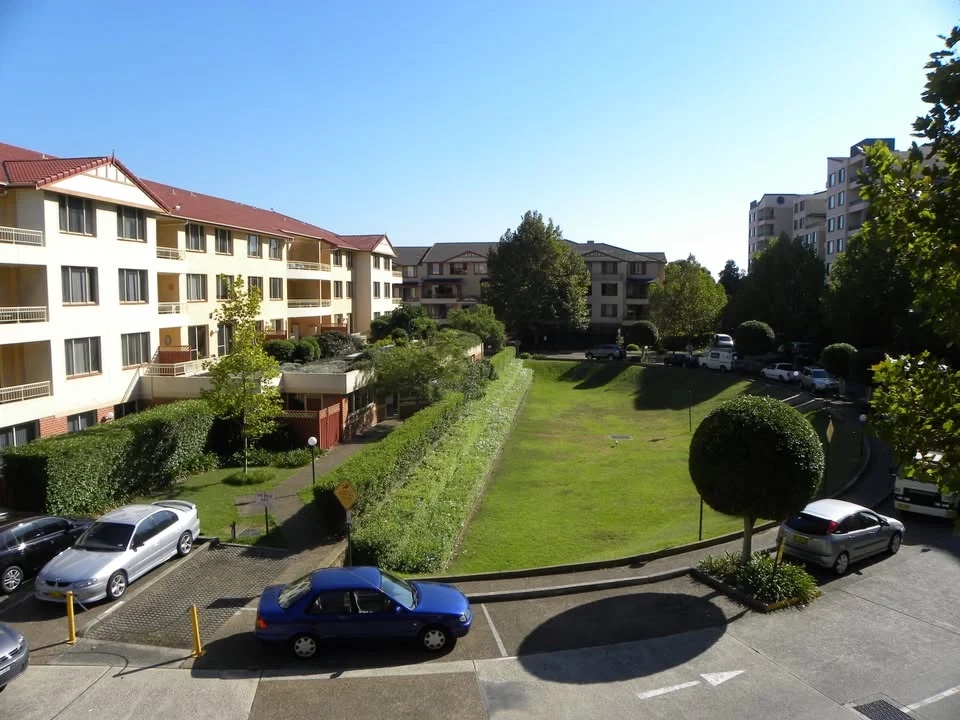
621/83-93 Dalmeny Avenue
Rosebery, NSW 2018
$990 per week
_Andrew Merton Real Estate
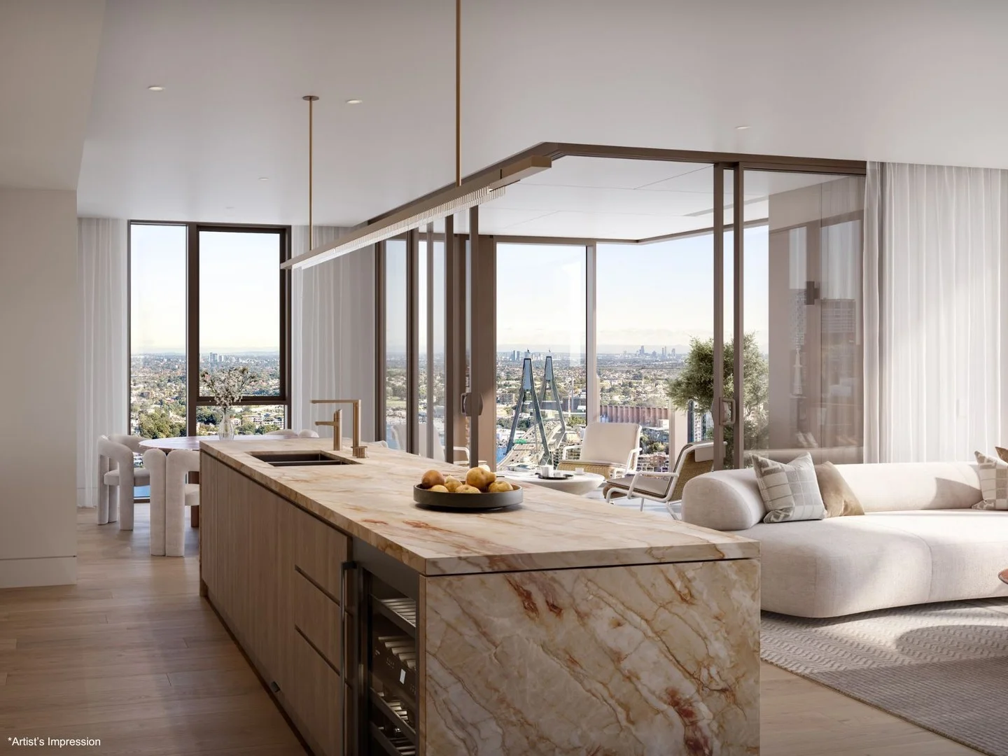
4002/8 Darling Drive
Sydney, NSW 2000
$9,020,000
Mirvac Residential NSW
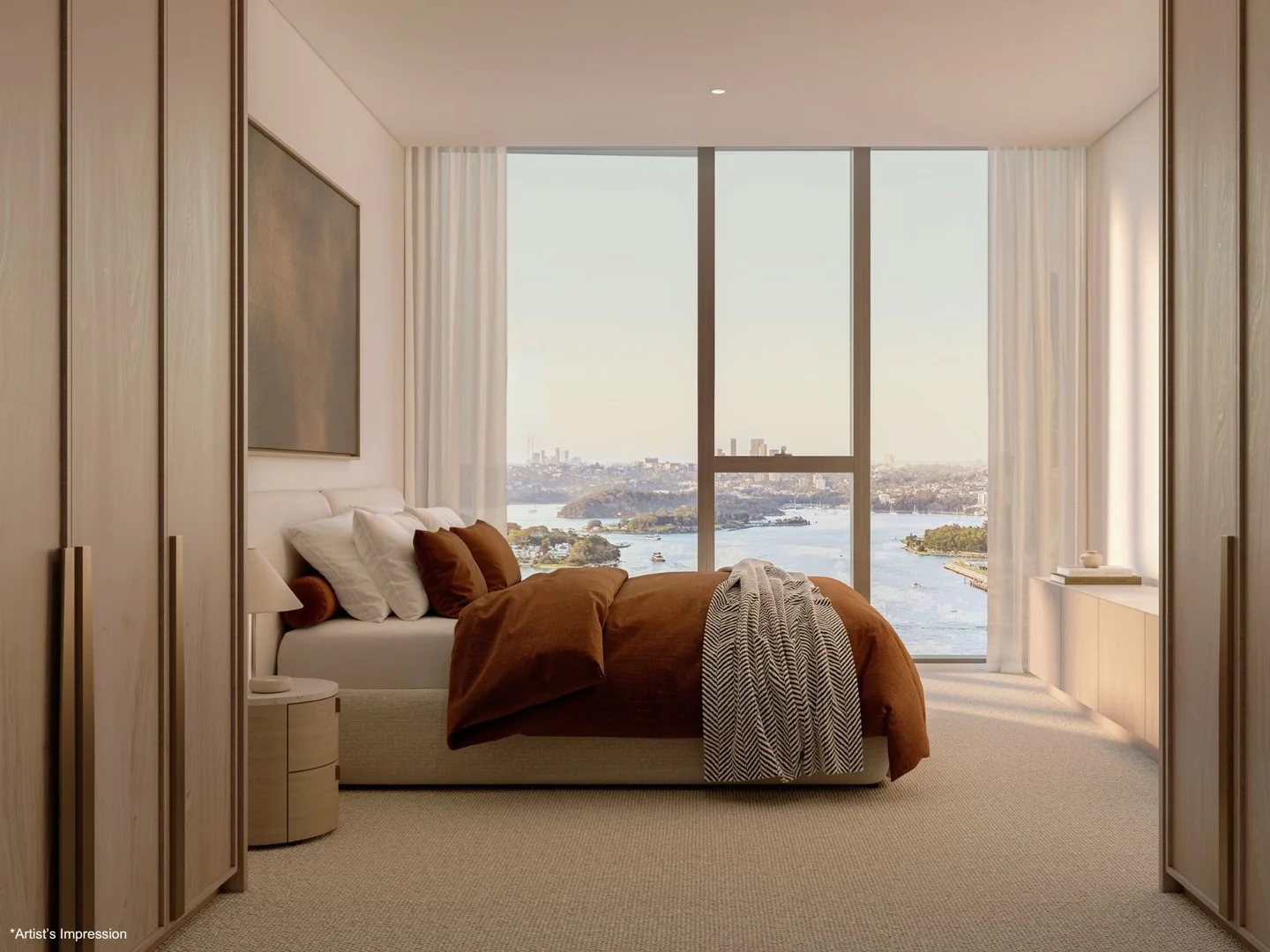
4003/8 Darling Drive
Sydney, NSW 2000
$8,630,000
Mirvac Residential NSW
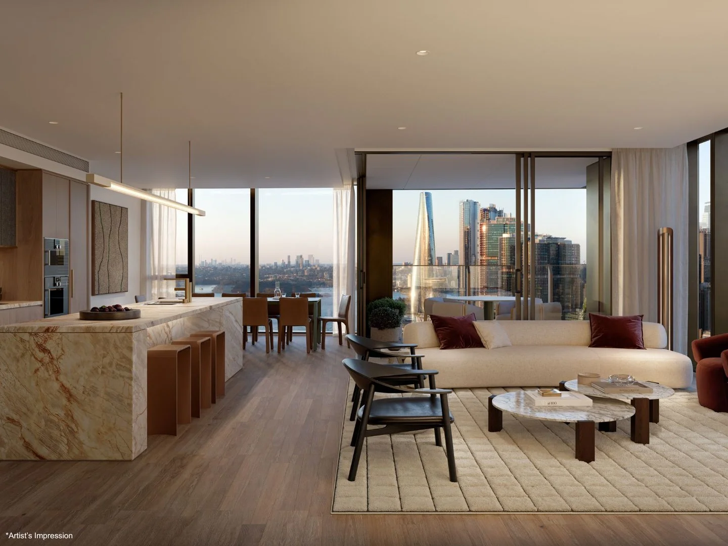
4005/8 Darling Drive
Sydney, NSW 2000
$12,980,000
Mirvac Residential NSW
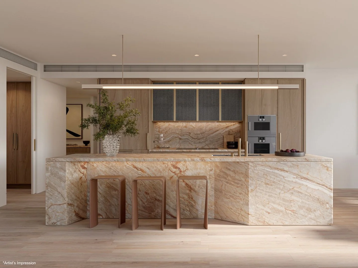
2608/8 Darling Drive
Sydney, NSW 2000
$6,225,000
Mirvac Residential NSW
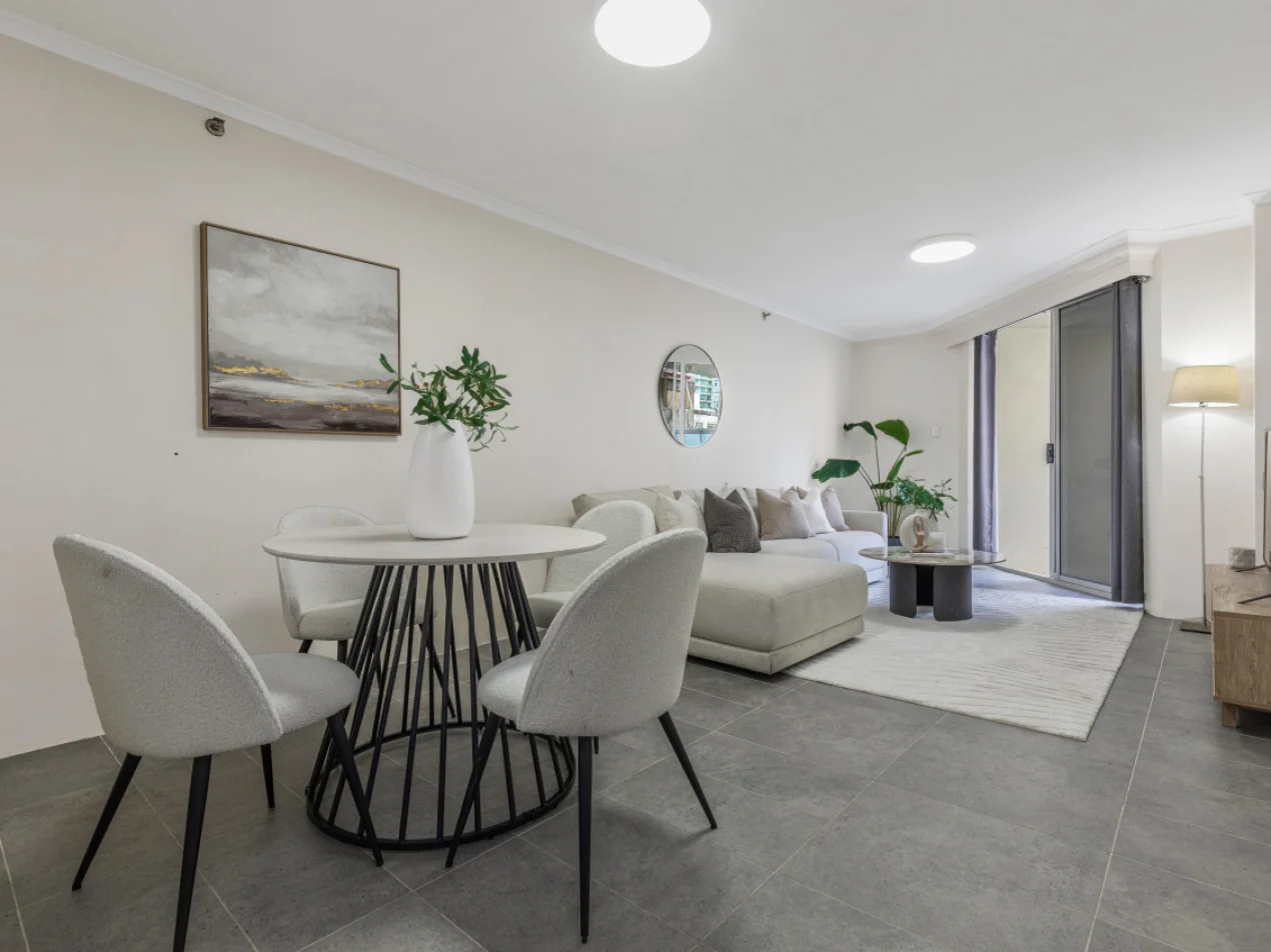
6/569-581 George Street
Sydney, NSW 2000
$640,000 – $675,000
Oak Property Partners Pty Ltd
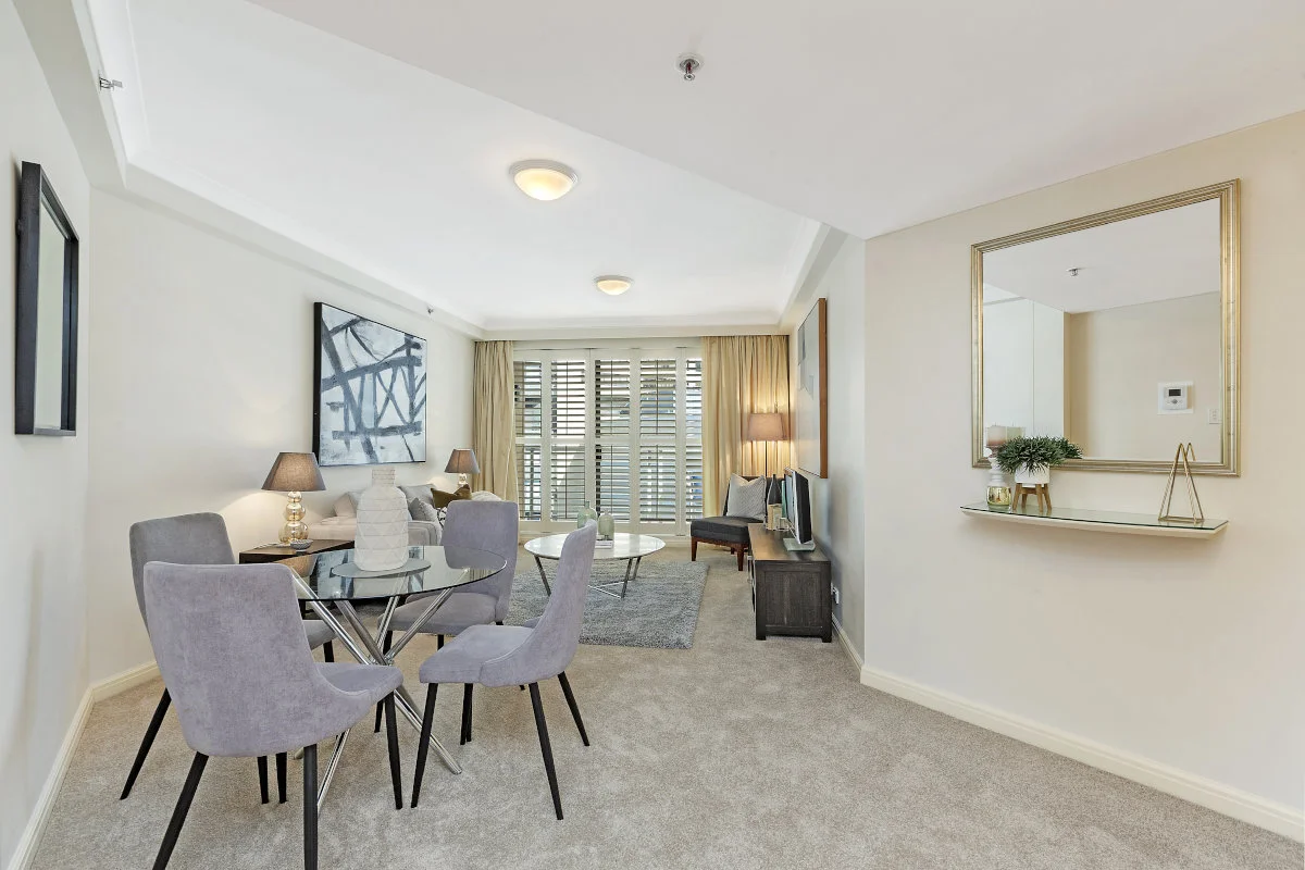
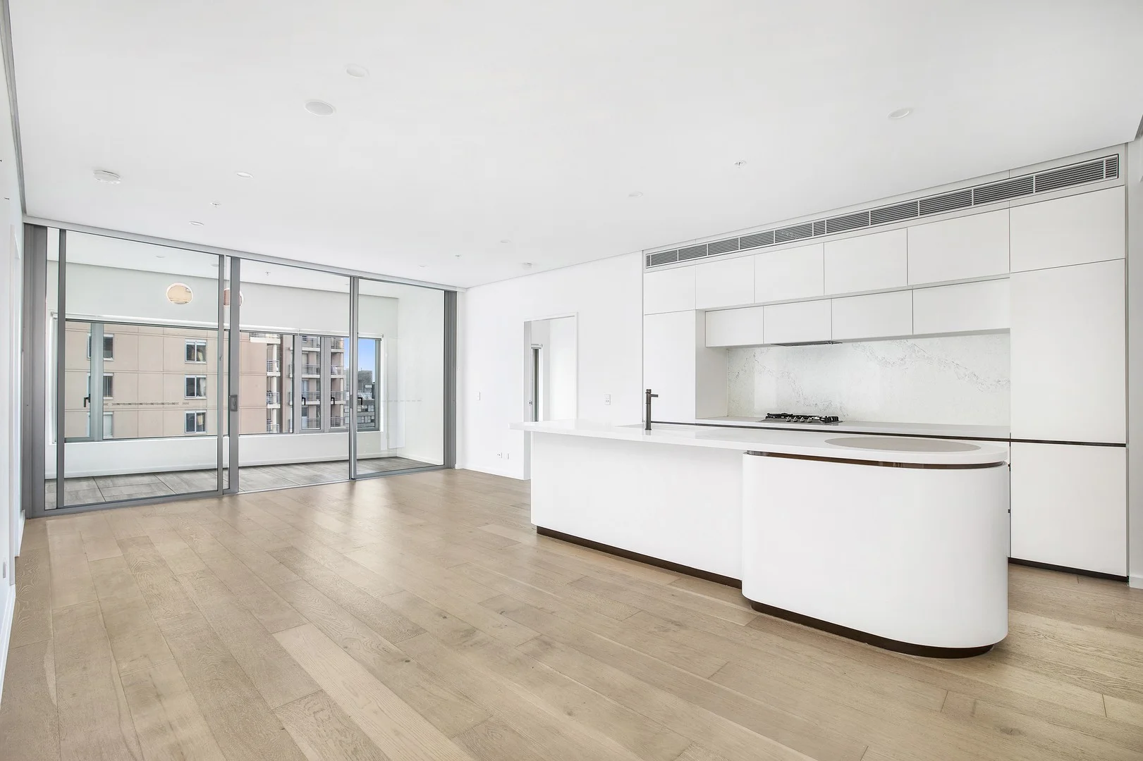
Recently sold nearby
Homes that have sold close to this address. We don’t show sale prices.
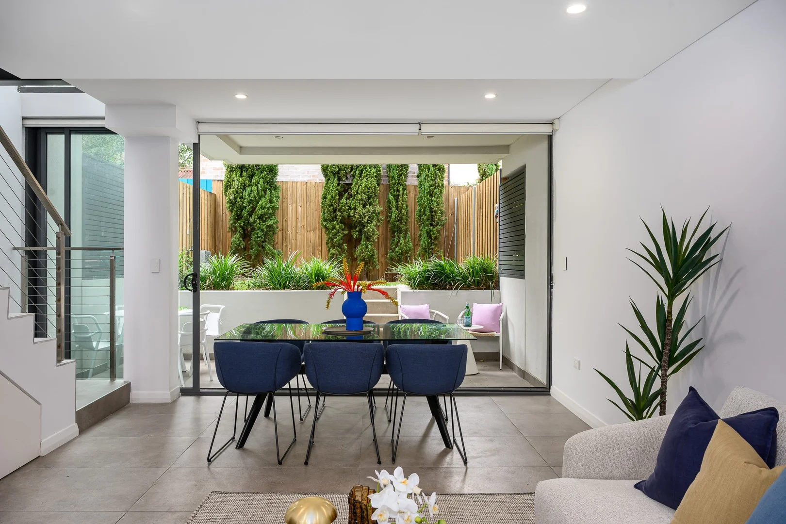
Marrickville, NSW 2204
Land Size: 115 m²
Property Type: House
Listing Type: Residential
Status: Active
Summary: Chic Tri-Level Terrace Showcasing Modern Design
Description: Bold and contemporary in design, this tri-level Torrens Title terrace impresses with its striking architectural form and desirable Enmore border position. Expertly crafted for modern living, it offers a spacious and stylish retreat with flowing interiors, low-maintenance appeal, and a private laneway setting. • Expansive open-plan living and dining with abundant natural light • Seamless flow to a paved BBQ terrace and level landscaped garden • Sleek stone kitchen featuring Smeg gas appliances and dishwasher • Well-proportioned bedrooms with custom built-in wardrobes • Master retreat with walk-in robe, ensuite and roof storage • Full main bathroom, internal laundry and convenient guest WC • Ducted air conditioning, alarm system, video intercom and gas heating Perfectly positioned, it's within walking distance to Sydenham Metro Station, Marrickville Metro, popular breweries, cafés, restaurants and the Enmore Park Aquatic Centre.
Agent: Steve Kremisis - steve.kremisis@raywhite.com
Agent: Michelle Chidiac - michelle.chidiac@raywhite.com - 0410 621 201
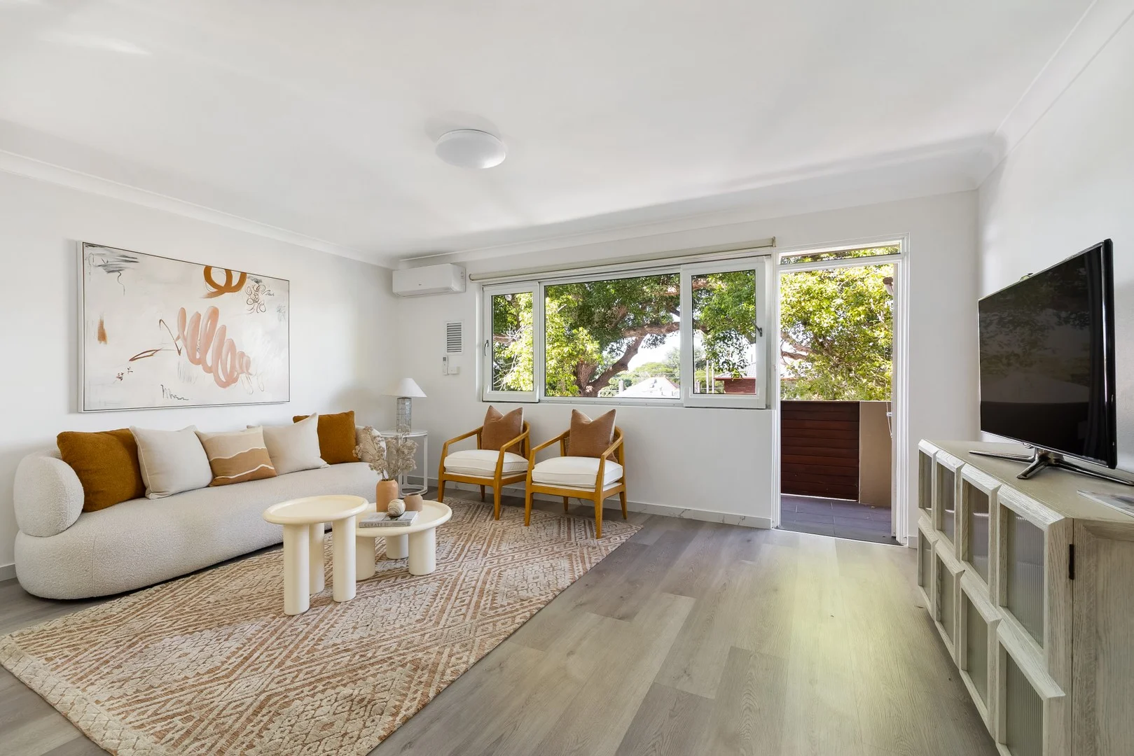
Enmore, NSW 2042
Land Size: 132 m²
Property Type: Apartment / Unit / Flat
Listing Type: Residential
Status: Active
Summary: Unique lifestyle offering in boutique brick complex
Description: Surprisingly spacious, this impeccably presented two-bedroom plus study apartment captures verdant treetop outlooks alongside a leafy, exclusive-use courtyard below. A lock-up garage, ground-floor storage room, and exclusive-use car space further elevate the offering. - Peaceful lifestyle sanctuary with 132sqm on title - Large windows w/ great natural light, leafy vistas - Split system a/c in bed and living, linen cupboard - Sunny & spacious open layout, priv. study space - Modern kitchen w/ servery window, great storage - F&P electric stove, Omega oven and dishwasher - 2 good-sized bedrooms in main apt. with built-ins - Well-kept bath w/ sep. tub & shower, int. laundry - Covered leafy balcony off living, room for seating - Exclusive-use courtyard retreat w/ ample privacy - G-floor storage room w/ kitchenette, shower, toilet - Lock up garage on title & exclusive-use car space - 700m to Enmore Park & The Vic On The Park pub - 550m to Enmore Rd dining strip & Enmore Theatre - Council $390 | Strata $1200 | Water $209 p/q
Agent: Chris Akkawi - chris@adrianwilliam.com.au - 0405393035
Agent: Daniel Josevski - danielj@adrianwilliam.com.au - 0405 100 803
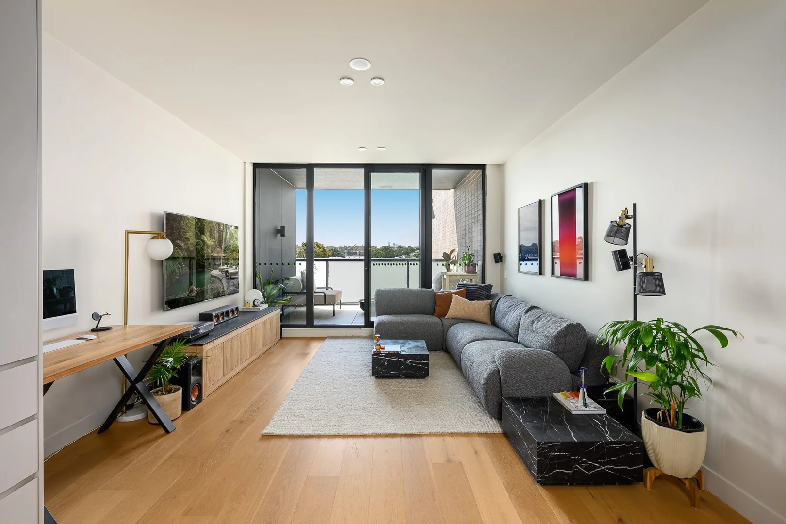
Marrickville, NSW 2204
Property Type: Apartment / Unit / Flat
Listing Type: Residential
Status: Active
Summary: Stunning, spacious as new with City views
Description: This slick one-bedroom apartment in 2yo iconic architectural Wicks Place by TOGA, that stands out for its intricate brick work & ultimate lifestyle location. Bright, timeless interiors combine with a generous floorplan and its elevated position enjoying a northern aspect with City views. -Spacious apartment w/ great natural light -Acoustic & thermal insulated, high ceilings & ducted A/C -Large bed with full length robe -Open plan house sized living flowing to balcony -Custom gas kitchen with granite benchtop and integrated Fisher & Paykel fridge and dishwasher, plus generous storage throughout -Chic main bath, internal laundry, large linen cupboard -Overlooking Wicks Park and perfectly positioned to enjoy local cafes, breweries, with Harris Farm and Chargrill Charlie's right at your doorstep. -900m to Sydenham station & Metro and a short stroll to Marrickville & Enmore Rd, Marrickville Metro & Aquatic Centre -Intercom, lift access, pet friendly, motorbike parking, bicycle storage & gym -Secure parking & storage cage (on title) Council $390pq | Water $210pq | Strata $1017pq | 83m2
Agent: Alex Catania - alexcatania.373033342e323738@capture.core.com.au - 02 8960 0535
Agent: Robert Settree - robertsettree.383531312e323738@capture.core.com.au
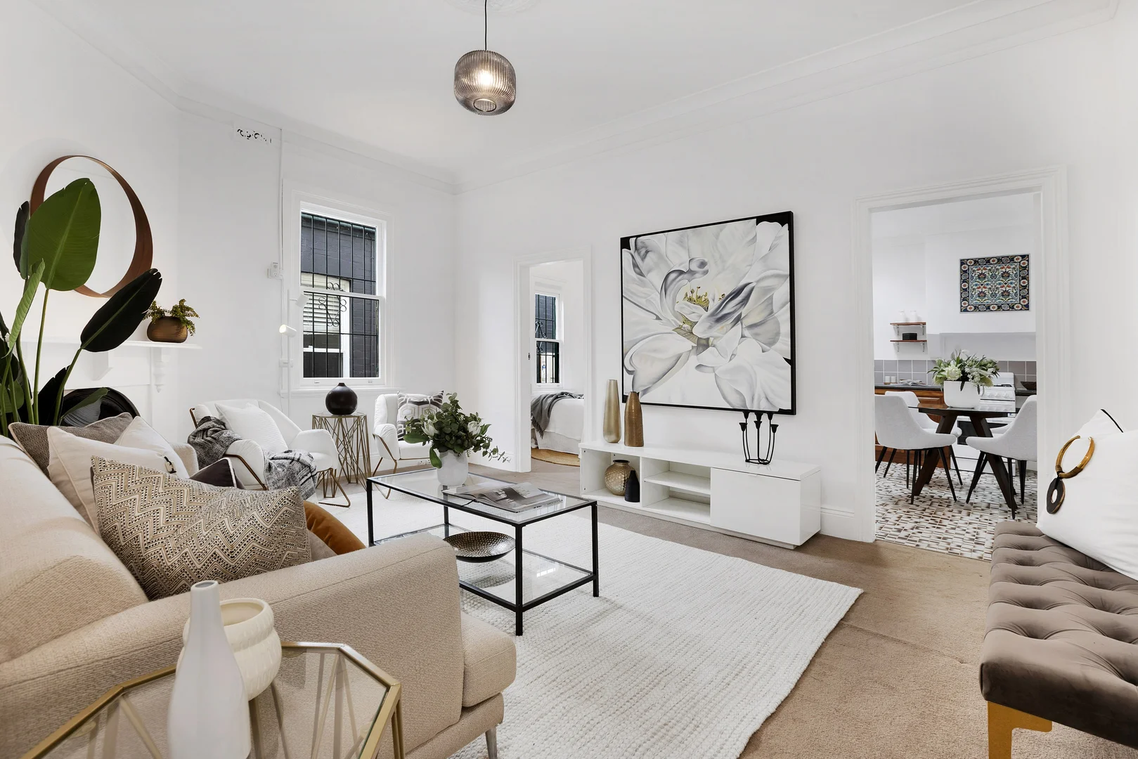
Marrickville, NSW 2204
Land Size: 183 m²
Property Type: House
Listing Type: Residential
Status: Active
Summary: Classic period residence with two street frontage
Description: Set in a tree-lined street close to village life, this traditional terrace offers a flexible layout, original character and exciting potential to enhance over time. Elevated ceilings, fireplaces and generous proportions create warmth throughout, while a skylit eat-in kitchen supports everyday living. A covered rear patio connects to a private courtyard, with valuable rear lane access offering future possibilities. Comfortable as presented yet full of opportunity, the home provides a compelling chance to update or re-imagine in one of the Inner West's most connected neighbourhoods. Features Two bedrooms plus study or third bedroom Separate living with period fireplace Large eat-in kitchen with skylight Refreshed bathroom Separate laundry Covered outdoor entertaining area Private courtyard garden Rear lane access with car space Scope to renovate or extend (STCA) Moments from Marrickville Road cafés, dining, breweries, parks and transport, this premier address delivers the enviable lifestyle Marrickville. Building and Pest report available here https://checkforsure.com.au/report/4f0c6f74-d8ff-4e07-8957-ad409cabba3f
Agent: Peter O'Malley - peter@harrispartners.com.au - 02 9818 2133
Agent: Ross Sorbello - ross@harrispartners.com.au
Marrickville, NSW 2204
Land Size: 91 m²
Property Type: Apartment / Unit / Flat
Listing Type: Residential
Status: Active
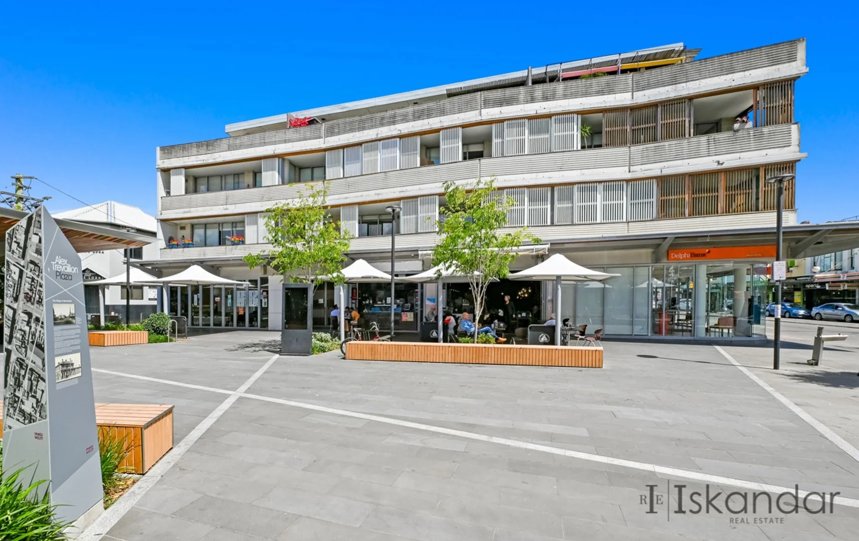
Summary: Sold off market 48hrs
Description: Located in the heart of culture and sophistication, this immaculate family apartment finds itself in the heart of Marrickville. This one-bedroom apartment is located moments from Marrickville's Train Station and only minutes from all forms of transport. Stroll to shops, bars, cafes, restaurants and Marrickville Station The 'Lamia' also has an on-site cafe and two restaurants; it won the 2008 Architecture Award for Multiple Housing from the Australian Institute of Architects in the same year the development was completed. Features include: - Modern open plan living area flows through glass doors to an outside entertaining balcony. - Spacious one-bedroom apartment, with a built-in wardrobe - High ceilings throughout, A/C - Gourmet kitchen with stone benches, stainless steel appliances including integrated brand-new dishwasher with plenty of seamless storage cupboards and pantry. - Sun-drenched balcony for entertaining - Secure parking plus separate storage cage - In a boutique block of just 14 apartments and retail shops Size 91smq in total Strata: $1,261.26 pq Water: $214.14 pq Council: $390.00 pq
Agent: Tony Iskandar - tony@iskandar.com.au - 9569 3699
Marrickville, NSW 2204
Property Type: Apartment / Unit / Flat
Listing Type: Residential
Status: Active
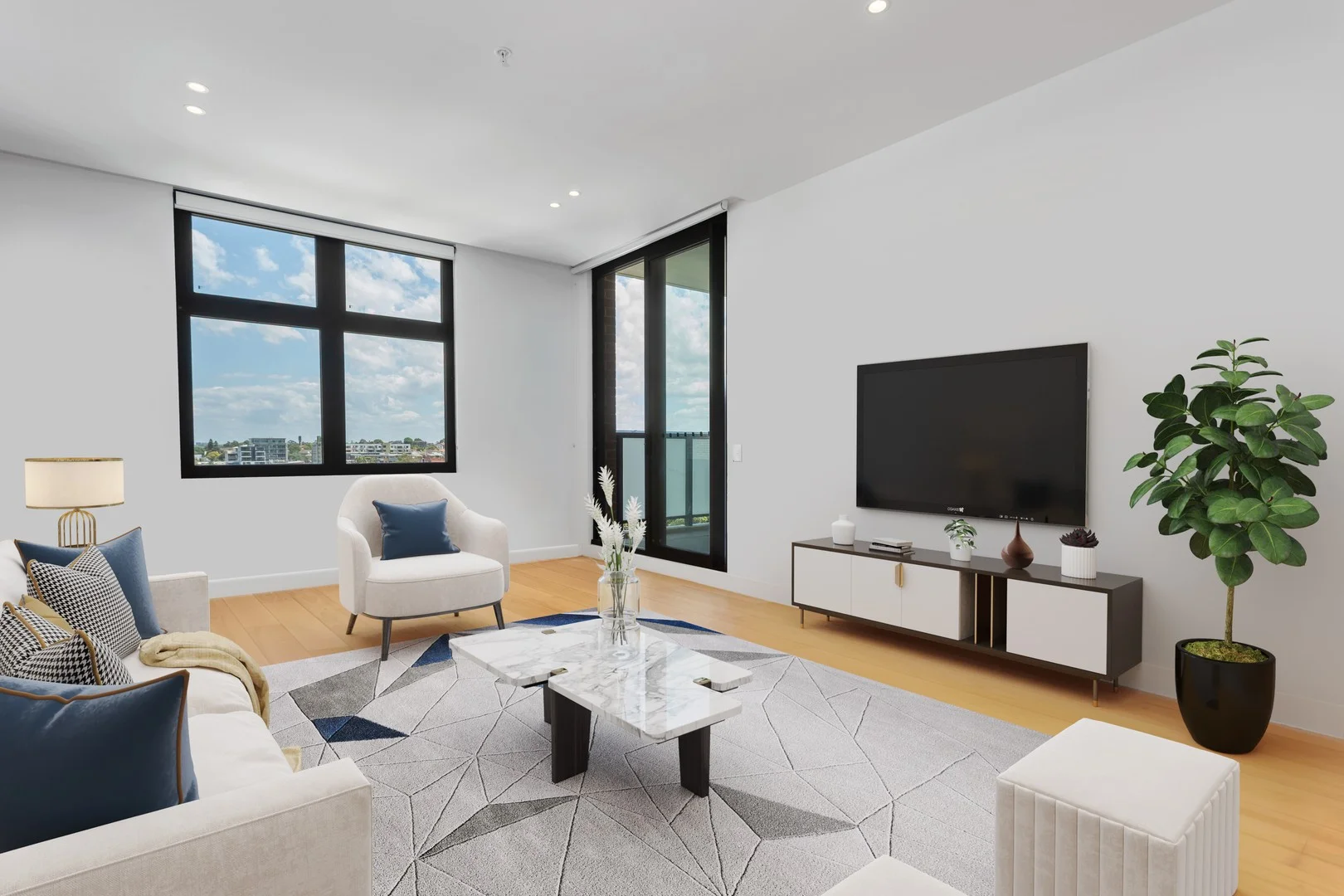
Summary: Modern Apartment With Huge Balcony Overlooking Garden And Tennis Court
Description: Nestled in the heart of Marrickville's vibrant community, this apartment embraces the modern lifestyle where luxury, convenience, and style converge to create the ultimate urban sanctuary. Crafted by a renowned developer and set above Harris Farm, just a stone's throw away from the bus stop, bustling cafes, eclectic restaurants, parkland, a short walk to the station and shopping centre, this residence offers an unparalleled lifestyle experience. Once you step through the door of this meticulously designed apartment, you're greeted by an open living area, featuring elegant timber floorboards that flow seamlessly throughout space, leading to a large balcony overlooking beautiful landscaped communal garden and neighbouring tennis court. This smart layout seamlessly blends functionality with style, while the abundance of natural light accentuates the contemporary lines and premium finishes throughout. Beyond the apartment's confines, residents enjoy a range of premium amenities designed to enhance their lifestyle. From the tranquil courtyards to spacious communal entertainment area, every aspect of Wicks Place is designed to cater to your needs and desires. Featuring: - 2 large bedrooms, all with built-in wardrobes, main with ensuite. - Open plan living leading to a huge balcony overlooking beautiful communal garden and neighbouring tennis courts. - Gourmet kitchen with bench island, built-in fridge, gas cook-top, oven, dishwasher with stone kitchen bench-top - Luxury fully tiled bathroom with modern fittings - Internal laundry with dryer - Ducted air-conditioning system - Timber floorboard throughout - Digital security intercom and security cameras - 1 security parking space with adjoining caged storage - Gym facilities, BBQ area, and gardens - Only 5 km to Central and 2 km to University of Sydney - Exciting eatery precinct with Harris Farm, Charcoal Charlie, Grill'd - Total size: 119 sqm
Agent: Rebecca Han - rebecca@grandrealty.com.au
Agent: Angela Liang - angela@grandrealty.com.au
Petersham, NSW 2049
Property Type: Apartment / Unit / Flat
Listing Type: Residential
Status: Active
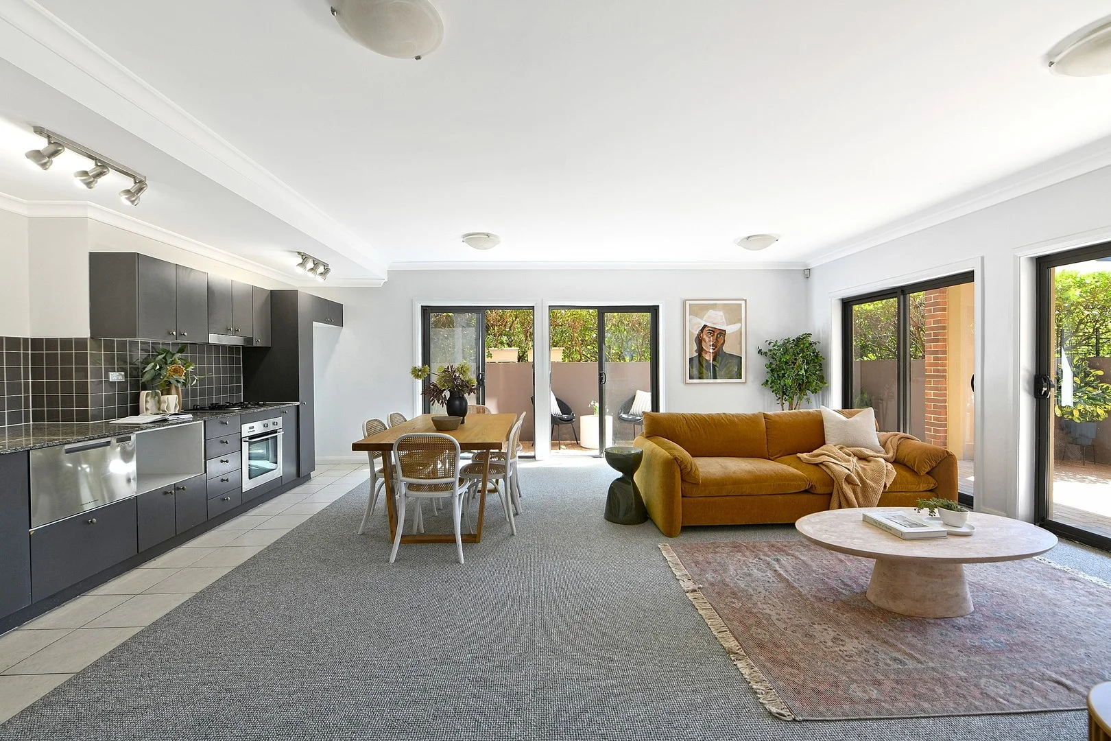
Summary: Resort Style Living with Manicured Gardens
Description: Exceptional courtyard apartment within the exclusive "Eversleigh Estate" this stunning apartment is bathed in natural light with an abundance of space. Enjoying a superb parkland setting in one of the area's most impressive apartment complexes, with manicured gardens and outstanding resort facilities, including heated swimming pool, tennis court and fully equipped gymnasium. Spacious open plan living & dining room One double bedroom with built-in & access to courtyard Fully equipped modern stone topped kitchen Stylish bathroom with separate bath & shower Sunny paved entertaining courtyard with separate terrace Freshly decorated, internal laundry & quality new carpet Undercover car space with storage cage Intercom access & lift to carpark Moments to public transport, cafes & popular restaurants Wonderful first home or downsizing opportunity Apartment area including courtyard: 100 sqms approximately Parking area including storage: 14 sqms approximately Total Area: 114 sqms approximately Council Rates: $390.00 per quarter approximately Water Rates: $215.04 per quarter plus usage Strata Levies: $1,833.95 per quarter approximately
Agent: Rosalie Gordon - rosalie@planetproperties.com.au - 02 9747 8888
Agent: Mark Gordon - mark@planetproperties.com.au - 02 9747 8888
Marrickville, NSW 2204
Land Size: 230 m²
Property Type: House
Listing Type: Residential
Status: Active
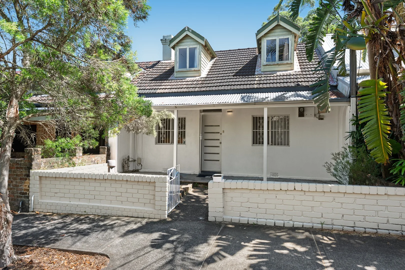
Summary: Two-Level Victorian Cottage in Prime Marrickville Location
Description: Perfectly positioned on a leafy tree-lined street, this classic three bedroom Victorian cottage makes an ideal opportunity to create, renovate or redesign your dream retreat. With its timeless facade, charming character and unbeatable location just moments from Marrickville's lively cafés, parks, transport links and top-rated schools, this property presents an exceptional lifestyle opportunity in one of the Inner West's most sought-after pockets. Property Highlights • Light-filled, three bedrooms featuring upstairs loft/retreat • Open-plan living and dining area, blending everyday comfort with entertaining potential • Neat eat-in kitchen, with potential to further remodel • Large bathroom with separate bath and shower • Dedicated laundry room plus additional storage for convenience • Private outdoor courtyard, perfect for alfresco dining, relaxation or weekend gatherings • Dual street access with rear lock up garage with access via Gorman St • Prime Marrickville address, surrounded by vibrant community energy and leafy surroundings • Excellent transport connectivity with buses, trains, all nearby • Close proximity to parks and playgrounds, ideal for morning walks or family picnics • Within easy reach of quality schools, shopping precincts and childcare centres This delightful home combines Victorian charm with modern potential, making it an ideal choice for buyers seeking character, comfort and convenience in the heart of Marrickville. Auction On Site 15th November 2025 at 1 pm Contact: Steve Kremisis 0414 818 317 Michelle Chidiac 0410 621 201 Costa Kremisis 0434 879 938
Agent: Steve Kremisis - steve.kremisis@raywhite.com
Agent: Michelle Chidiac - michelle.chidiac@raywhite.com - 0410 621 201
Marrickville, NSW 2204
Property Type: New Apartments / Off The Plan
Listing Type: Residential
Status: Active
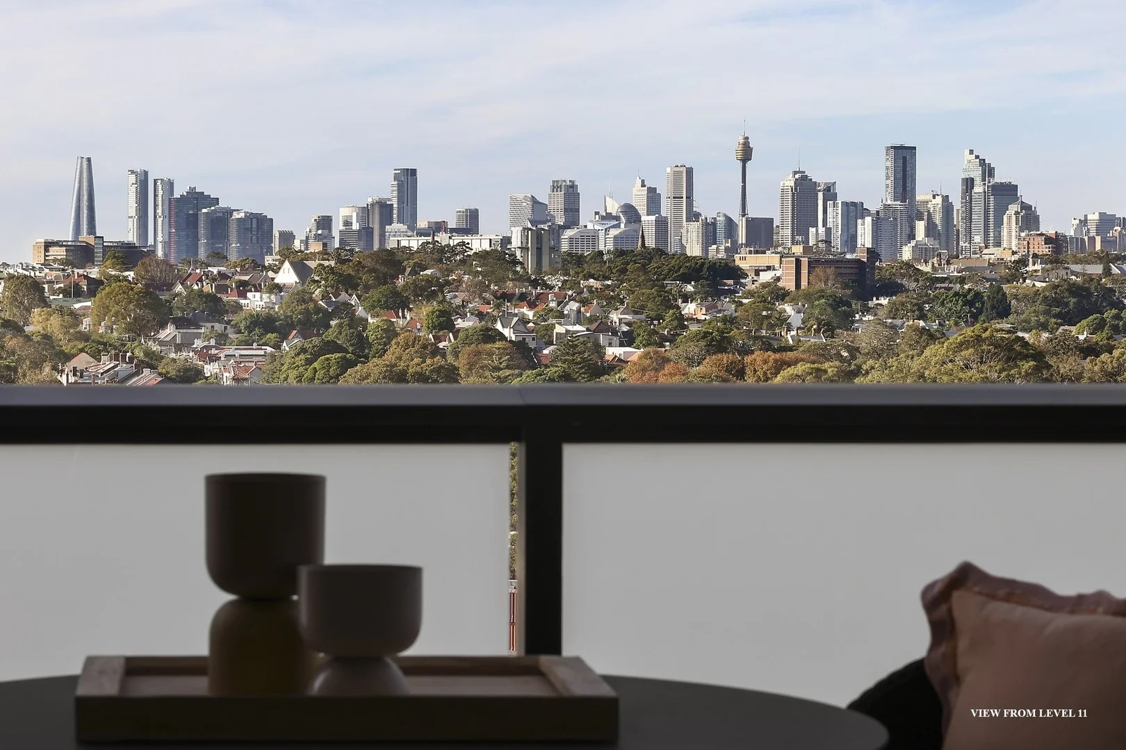
Summary: Last Remaining Brand New Apartment with Panoramic City Views
Description: Open for Inspection: Saturdays 10:00am 11:00am. Other times available by private appointment. Move straight in and enjoy sweeping views of the Sydney skyline from this brand new, designer 2-bedroom apartment with a dedicated study perfect for working from home. Located in Wicks Place, Marrickville, this residence combines luxury interiors with a vibrant urban lifestyle. Enjoy spacious indoor/outdoor living, bespoke finishes by Richards Stanisich, and a generous balcony designed for entertaining. Apartment Features: - 2 bedrooms + dedicated study area - Panoramic city and district views - Designer interiors with premium finishes - Seamless flow to large entertainer's balcony - Secure boutique building with private lift access Lifestyle & Location: - Residents-only garden podium with BBQs, lounge areas and lush landscaping - On-site gym and residents lounge with kitchen and workspaces - Harris Farm Markets, Chargrill Charlie's, and Zambrero right at your doorstep - Wicks Park right next door - 5km to Central, 2km to Sydney Uni, only 12 minutes by train to the CBD - Walk to Marrickville & Sydenham train stations Built and developed by TOGA Group, one of Australia's most trusted and awarded property companies with over 60 years' experience. This is your final opportunity to secure a brand-new apartment in Marrickville's landmark Wicks Place precinct.
Agent: Toga Sales & Leasing - property@toga.com.au