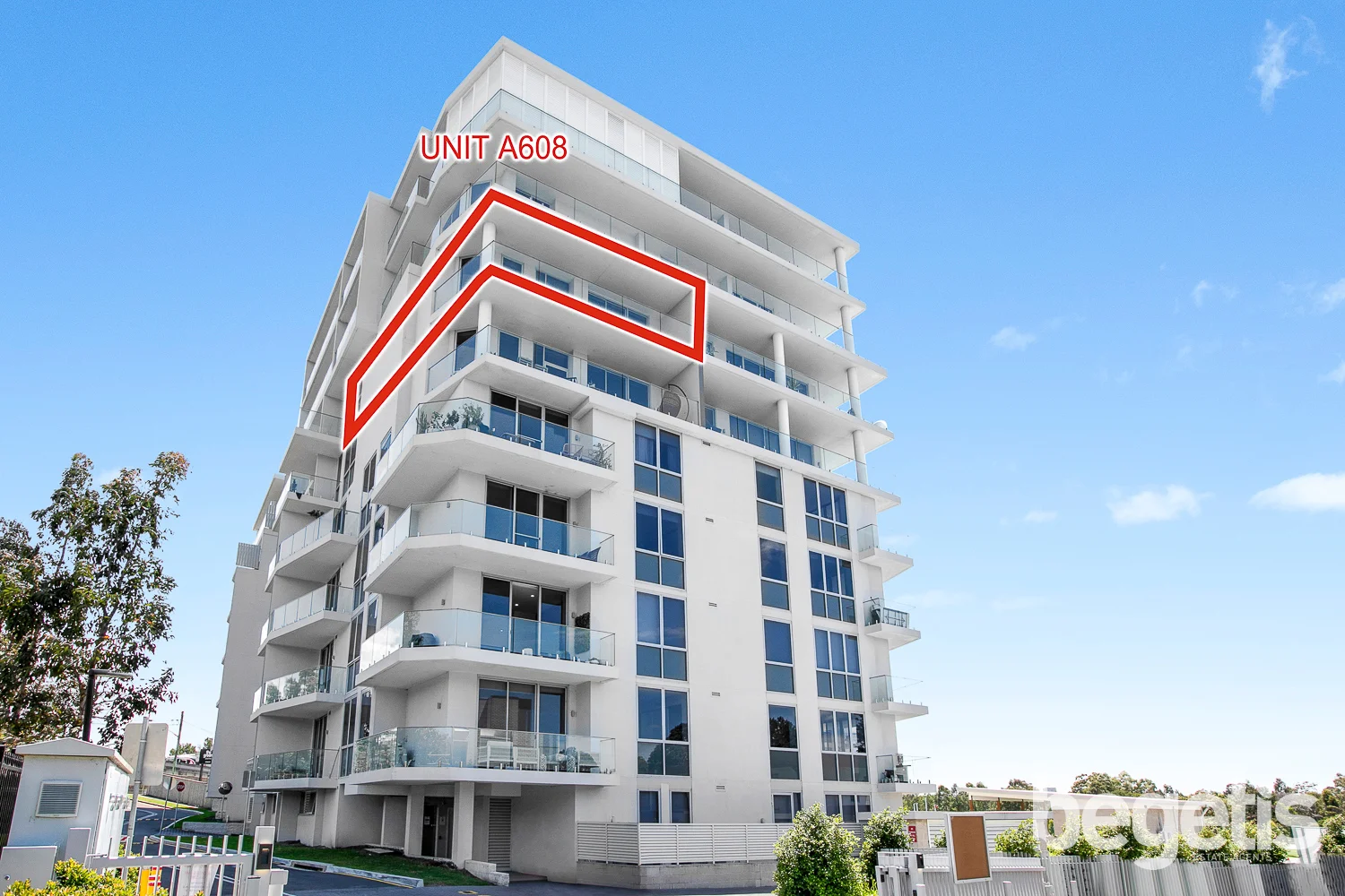
a608/86 Centenary Drive
Strathfield, NSW 2135
Neighbourhood & everyday essentials
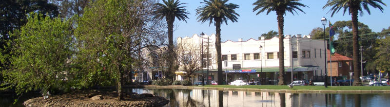
Explore around Strathfield, from school days to weekends.
Find schools, playgrounds and children’s classes. Browse by age to plan school days and weekends.
Area figures
- residents (ABS, June 2024)
- 43,346
- children aged 0–14
- 4,528
- schools
- 11
- parks & libraries
- 9
- kids’ activity providers listed
- 17
Most-listed activities: Tennis, Gymnastics, Maths
Population figures: Australian Bureau of Statistics
Explore local libraries, community spaces, schools and council programs across the wider area.
Parks, playgrounds & public spaces
Marlene Reserve
Marlene Cres, Greenacre, New South Wales, 2190
385 m straight-line distance
Freshwater Park
Ada Ave, Strathfield, New South Wales, 2135
428 m straight-line distance
Bryant Park
Wesley St, Greenacre, New South Wales, 2190
592 m straight-line distance
Boden Reserve
Pemberton St, Strathfield, New South Wales, 2135
697 m straight-line distance
Things to do near this home
Explore nearby play centres and family attractions from the directory. Check ages, entry prices and opening hours with the venue.

Browse things to do with kids in Sydney
Find more ideas by age, budget and indoor or outdoor setting on Things to do. Dated events are in What’s on. See what’s on
Discover local guides & family ideas
Read local family guides and practical articles as you explore life around this home.
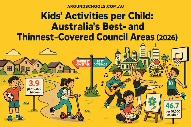
Kids' Activities per Child: Australia's Best- and Thinnest-Covered Council Areas (2026)
Across Australia's big council areas, the AroundSchools directory lists a median of about 10 kids' activity providers for every 10,000 children — but in Melbourne's Wyndham it is 3.9, and in the City…
Read more →
Most Livable Suburbs in New South Wales for Families (2026)
Sydney lists more kids' activities in our directory than any other suburb in NSW. This page ranks NSW suburbs by how much a family moving there could actually do with their kids, then adds what else…
Read more →Everyday essentials & getting around
Open the map to choose a destination and check journey times from this address. Walking routes, step-free access and travel times have not been verified.
Flood & development checks
Property-specific flood risk and announced developments have not been verified. Search this address in the official maps and ask the council for current flood information.
Source: AroundSchools directory. Distances are straight-line distances, not walking routes. Confirm facilities on the linked detail pages. Directory update dates are not supplied for this summary.
Property Details
119 m²
Apartment / Unit / Flat
RESIDENTIAL
Upcoming Events Nearby

Thu, 26 Nov · Burwood
FREE Kids STEAM Club (9 to 12 year olds) - Burwood Council | Monthly Activity till November
Ages 9–12
Tue, 13 Oct · Dulwich Hill
Storytime at ETC Library - Weekly Tuesdays from Oct 13 until Dec 15
Ages 3–5
Sun, 1 Nov · Hurstville.
Hurstville Museum & Gallery: Open Day
Sun, 1 Nov · Kogarah
Kogarah Christmas Carol
Fri, 20 Nov · Kogarah
Healthy and Active Families
Ages 6+
Thu, 1 Oct · South Hurstville.
Term 4: Ukulele for Kids (8-12 years)
Ages 8–12
What's Nearby

Emily Chu - Piano Lessons
43 Rawson St, Lidcombe

EnterMission Burwood
Suite 201 Level 2/1-17 Elsie St , Burwood

Allegro Childrens Music
104 Lucas Road, Burwood

A Face Painting Dream
76/27 Bennelong Parkway , Wentworth Point

Face Focus Entertainment
27 Bennelong Pkwy, Wentworth Point

AJ Magic
., Sydney

Kids French Club in Summer Hill
Moonbie Street, Summer Hill

Bonjour Babies (Summer Hill Public School NSW)
Moonbie St, Summer Hill

Kids French Club in Earlwood
396 Homer Street, Earlwood
Nearby Schools

Strathfield South High School
Hedges Ave, Enfield NSW 2136

Malek Fahd Islamic School
405 Waterloo Road, Greenacre NSW 2190 Australia

St Patrick's College - Strathfield
2 Edgar Street, Strathfield NSW 2135 Australia

St Anne’s Catholic Primary School - Strathfield South
St Anne'S Square, Strathfield South NSW 2136 Australia

Chalmers Road School
Strathfield NSW 2135

Marie Bashir Public School
159 Albert Rd, Strathfield NSW 2135, Australia
Nearby schools do not imply enrolment eligibility. Confirm catchments, year levels and childcare availability directly with the provider.
Nearby Properties
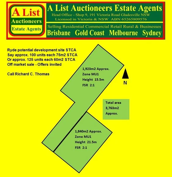
Address withheld
Ryde, NSW 2112
$36,000,000 – $39,500,000
A List Auctioneers Estate Agents
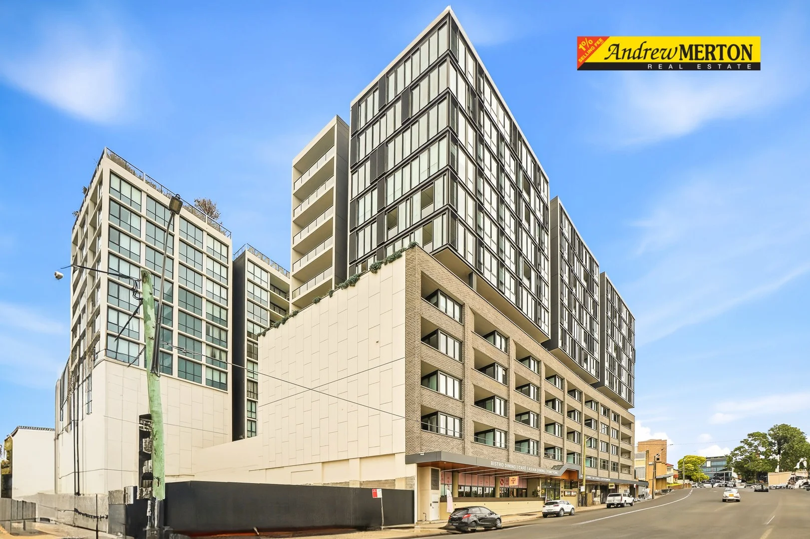
307A/258 Railway Parade
Kogarah, NSW 2217
$665,000
_Andrew Merton Real Estate
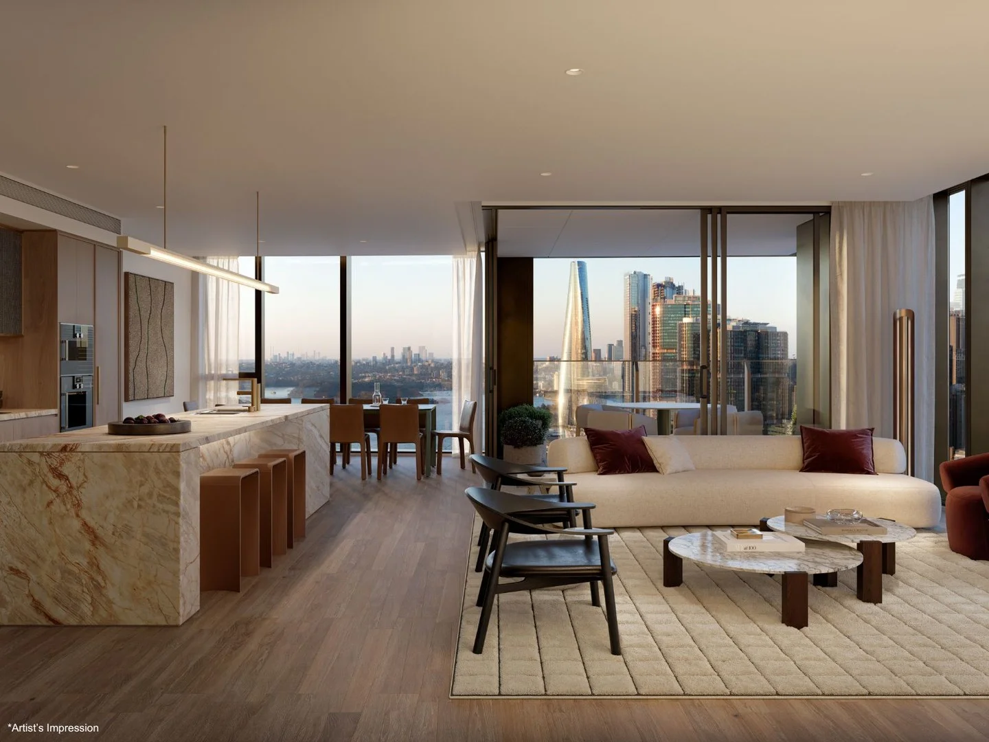
4005/8 Darling Drive
Sydney, NSW 2000
$12,980,000
Mirvac Residential NSW
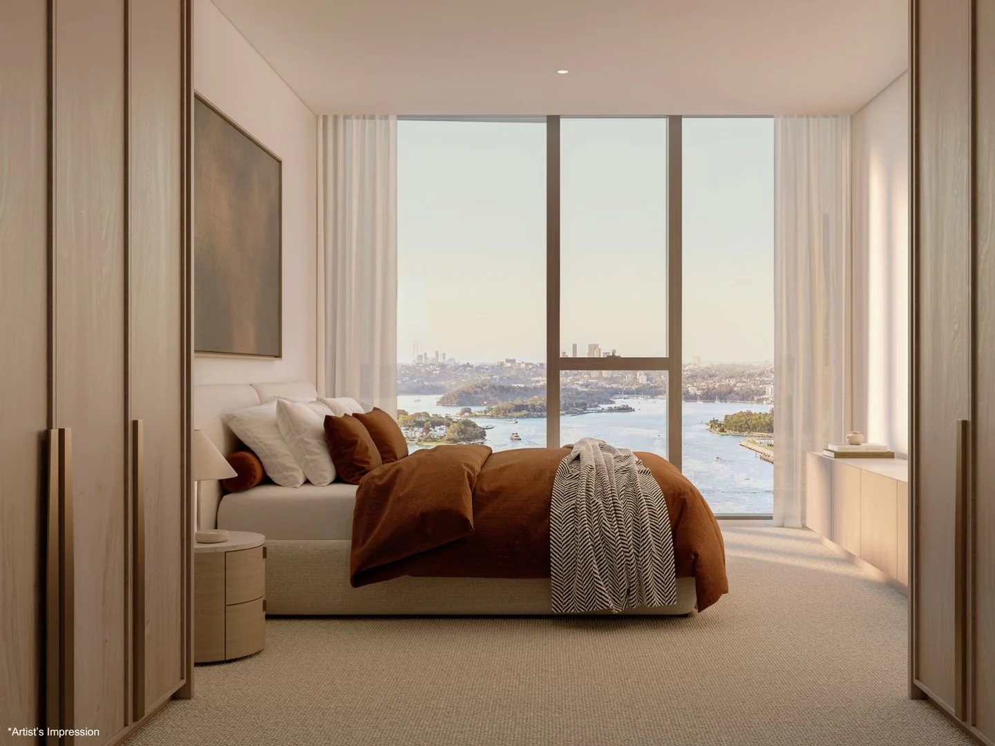
4003/8 Darling Drive
Sydney, NSW 2000
$8,630,000
Mirvac Residential NSW
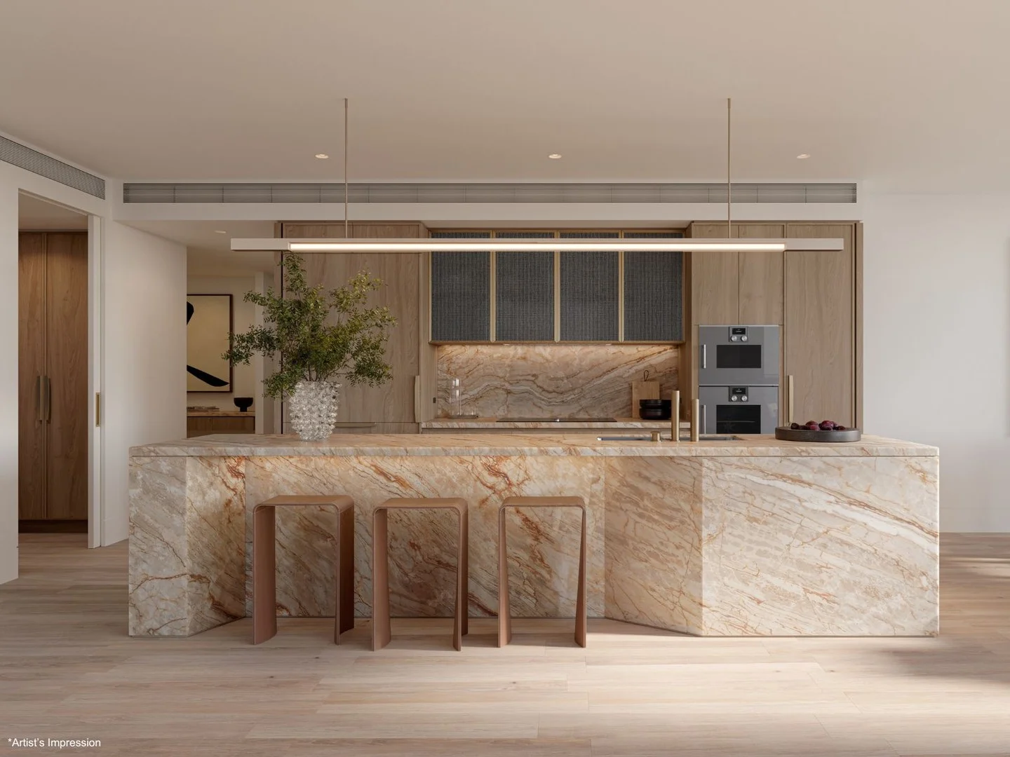
2608/8 Darling Drive
Sydney, NSW 2000
$6,225,000
Mirvac Residential NSW
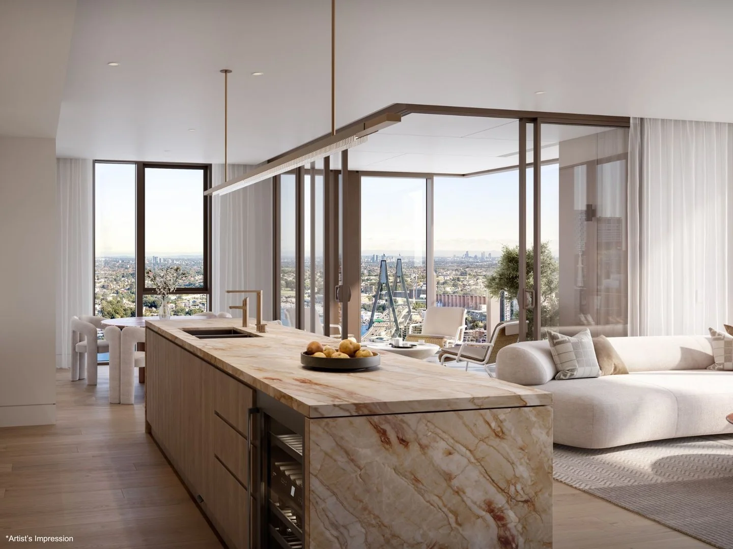
4002/8 Darling Drive
Sydney, NSW 2000
$9,020,000
Mirvac Residential NSW
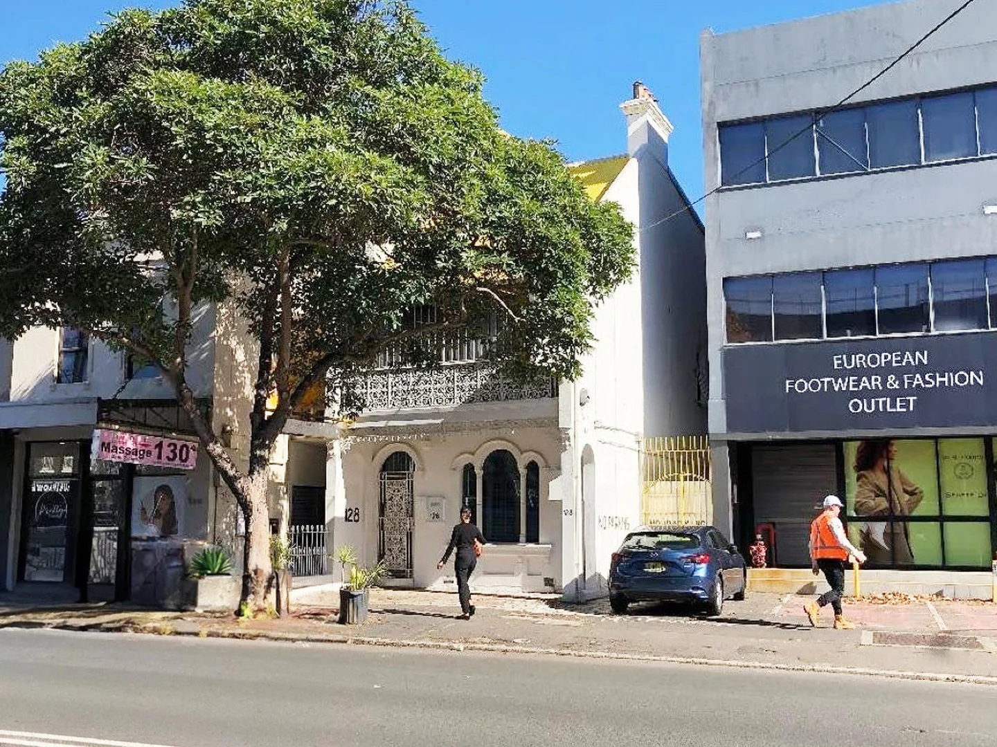
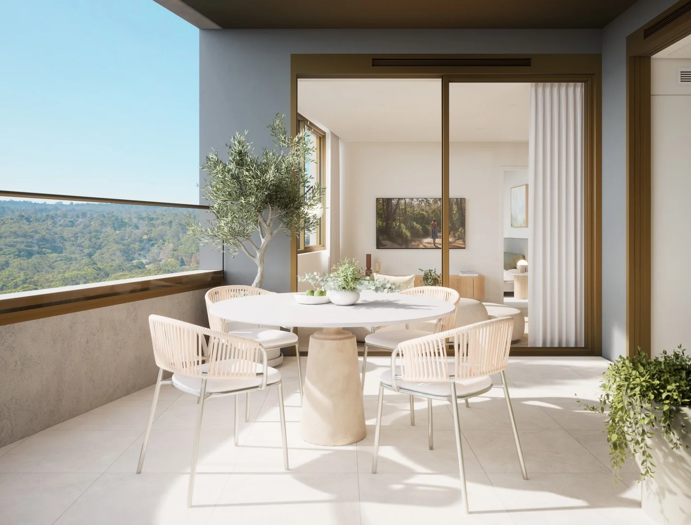
Recently sold nearby
Homes that have sold close to this address. We don’t show sale prices.
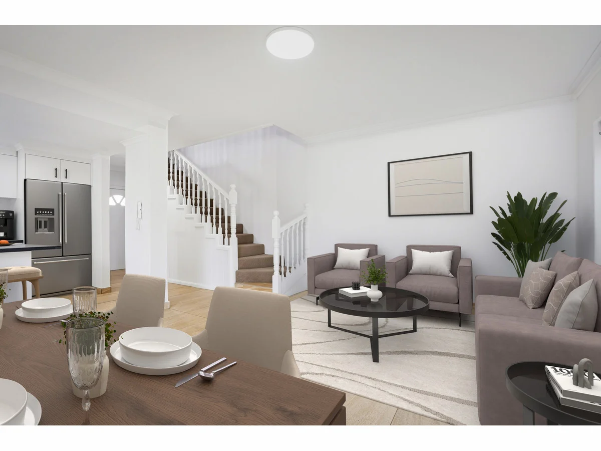
Strathfield South, NSW 2136
Property Type: Townhouse
Listing Type: Residential
Status: Active
Summary: SOLD BY SANDRO MUSUMECI - 0420 974 406 - MANY MORE WANTED DUE TO BUYER DEMAND!!!
Description: Immaculate Double-Brick Townhouse in a Prime Strathfield South Locale Welcome to Townhouse 8, 502510 Liverpool Road, Strathfield South NSW 2136 Freshly Updated Townhouse in a Prime Inner West Location Perfectly positioned within a well-maintained boutique complex, this beautifully refreshed double-brick townhouse combines space, comfort and convenience in one highly sought-after address. Recently updated with fresh paint, new carpet, new blinds and new lighting, it is ready to move straight into an ideal opportunity for first-home buyers, young families or savvy investors seeking strong rental demand in a blue-chip Inner West pocket. Property Features Freshly updated throughout new paint, new blinds and new carpet upstairs Spacious open-plan living and dining with tiled flooring on the lower level for easy care, everyday living and effortless entertaining Two generous bedrooms, including a main bedroom with built-in wardrobe and private balcony Fully tiled main bathroom upstairs plus a convenient second toilet downstairs for guests Internal laundry Understairs Case Storage Oversized single lock-up garage with excellent storage space Solid double-brick construction with concrete slabs for superior durability and sound insulation Private, fully fenced backyard with a wraparound undercover balcony perfect for barbecues, kids, pets or relaxing afternoons Move-in ready all the hard work has been done for you Outgoings Strata Levies: $560.50 per quarter Council Rates: $479.30 per quarter Location Highlights Enjoy all the benefits of a central Inner West location with major amenities just moments away: Schools: In the catchment for Strathfield South Public School and Strathfield South High School, and only a short drive to prestigious private schools including Santa Sabina College, Trinity Grammar and Meriden School Shopping & Dining: Minutes to Strathfield Plaza, Burwood Westfield and Enfield Shopping Village, offering cafés, supermarkets, restaurants and specialty stores Transport: Excellent connectivity with easy access to Strathfield and Enfield train stations, plus frequent bus services along Liverpool Road providing direct links to the Sydney CBD and surrounding suburbs Recreation: Close to Bark Huts Reserve, Hudson Park Golf Course and Centenary Park, ideal for families and those who enjoy outdoor leisure and weekend activities Summary Offering solid construction, modern updates and a highly convenient address, this townhouse truly ticks all the boxes. Whether you're searching for a comfortable low-maintenance home or a quality investment with excellent growth and rental potential, Townhouse 8 is a must-see. For further information or to arrange a private inspection, contact: NSW Realty
Agent: Joseph Casalicchio - joe@nswre.com.au - 87565444
Agent: Sandro Musumeci - sandro@nswre.com.au - 87565444
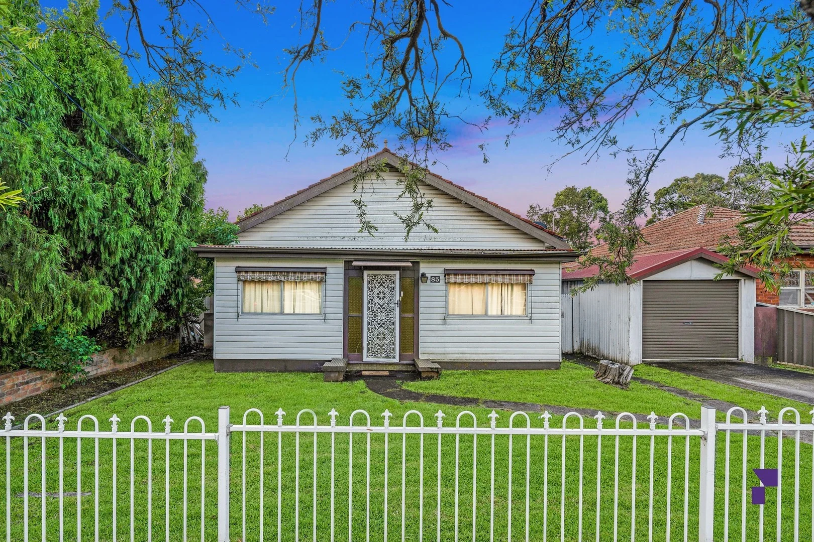
Greenacre, NSW 2190
Land Size: 695.6 m²
Property Type: House
Listing Type: Residential
Status: Active
Summary: Blank canvas - duplex site potential on 695.6sqm block in prime location STCA
Description: Set on a generous 695.6sqm parcel with a wide 15.24m frontage, this property represents a true blankcanvas to redevelop duplexes or a luxury home, subject to council approval. It's set in a highly convenient pocket, just footsteps from Norfolk Reserve, Chullora Marketplace, diverse dining, public transport, Chullora Public school and Malek Fahd Islamic School. - Generous 695.6sqm block with 15.24m frontage offering duplex site potential STCA - Elevated position on the high side of the street with potential city views - Existing dwelling provides holding income or temporary use prior to redevelopment - Excellent land dimensions for future growth, investment or multidwelling potential - Single garage, single carport and off-street parking provide ample vehicle space - Footsteps from Norfolk Reserve, Chullora Marketplace, public transport, Chullora public school and Malek Fahd Islamic School DISCLAIMER: While PACE Property Agents have taken all care in preparing this information and used their best endeavours to ensure that the information contained therein is true and accurate, but accept no responsibility and disclaim all liability in respect of any errors, inaccuracies or misstatements contained herein. PACE Property Agents urges prospective purchasers to make their own inquiries to verify the information contained herein.
Agent: Mark Saleh - mark.saleh@pacepa.com.au - 02 8668 5754
Agent: Ahmad Elfata - ahmad.elfata@pacepa.com.au - 02 8668 5754
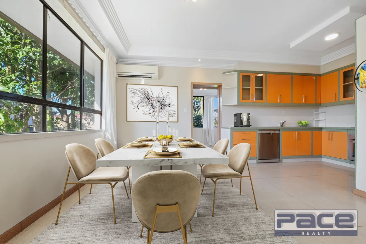
Strathfield, NSW 2135
Land Size: 700 m²
Property Type: House
Listing Type: Residential
Status: Active
Summary: CLASSIC FAMILY HOME WITH DREAM POTENTIAL
Description: This lovely freestanding home offers a prime opportunity for the smart investor. Renovate or knock-down and rebuild (STCA) to capitalise in a much sort after location. - Open plan living and dining room leads to a lovely gourmet kitchen with quality appliances and ample storage - Three generous bedrooms, main fitted with drawers and built-in robe - Considerable sized bathroom with double wash basin - Large rumpus room, bathroom and internal laundry contained within the ground floor - Landscaped front and rear yards perfect for entertaining with a sunroom overlooking the rear - Double lock up garage with parking space in front - Easy access to both train and bus public transport - Wallis reserve, Strathfield Park and local elite schools all within walking distance - Short drive to Strathfield Plaza, the Boulevarde shops, restaurants and cafes Land: 700 sqm (17.30 m frontage) *Subject to council approval Disclaimer: All information contained herein is gathered from sources we believe to be reliable. However we cannot guarantee its accuracy and interested persons should rely on their own enquiries.
Agent: Cayman Tam - cayman@pacerealty.com.au - 97396669
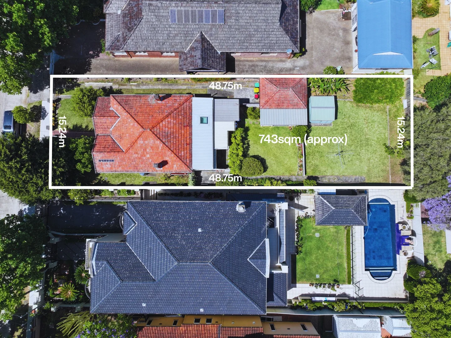
Strathfield, NSW 2135
Land Size: 743 m²
Property Type: House
Listing Type: Residential
Status: Active
Summary: Land, Location & Limitless Potential on 743sqm
Description: Offered for the first time in 46 years, this charming original residence sits on a massive parcel with a wide 15.24m frontage, presenting an exceptional opportunity to renovate, extend or knock down and rebuild your dream home (STCA). Rich in character and positioned along one of Strathfield's most prominent and convenient addresses, the home is comfortable as-is while holding enormous long-term upside. - Substantial 743sqm (approx) landholding with wide 15.24m street frontage - Original three-bedroom residence offered in tidy, well-kept condition - Flexible sunroom or potential fourth bedroom with natural light - Formal living room flows seamlessly to adjoining dining space - Original kitchen with pantry offering scope to modernise or reconfigure - Separate laundry with second bathroom adds everyday practicality - Large, level backyard ideal for extension, pool or redevelopment (STCA) - Side driveway providing off-street parking for multiple vehicles - Three generous bedrooms, two fitted with built-in wardrobes - High ornate ceilings, leadlight windows and preserved period details - Conveniently located close to Strathfield park, local elite schools, shopping precincts and transport A rare land-value opportunity in a tightly held Strathfield setting - ideal for families, builders or visionaries seeking space, scale and future potential.
Agent: Greg Emerton - gregemerton@theagency.com.au - 02 8789 0205
Agent: Steven Devine - stevendevine@theagency.com.au - 02 8789 0217
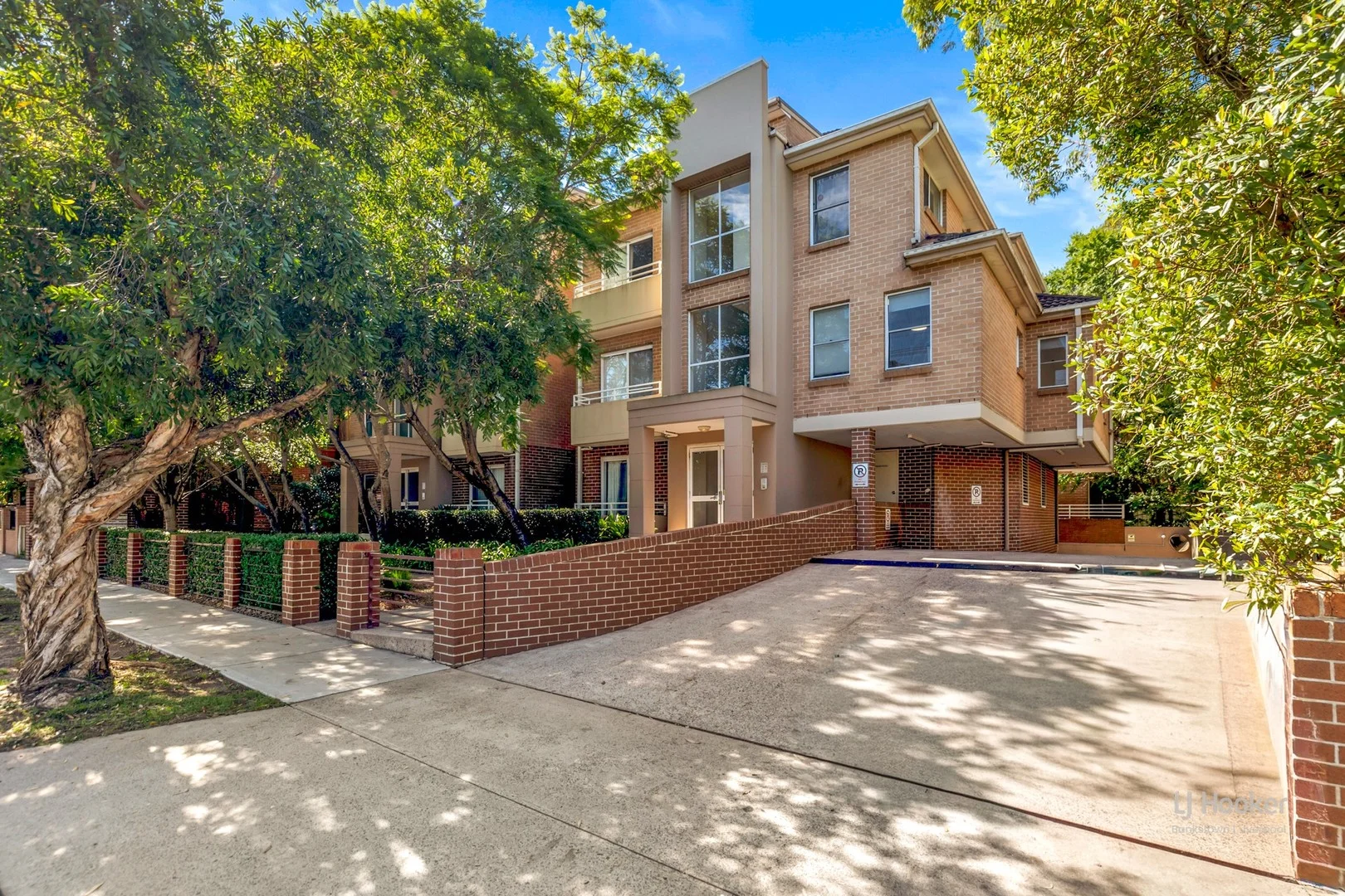
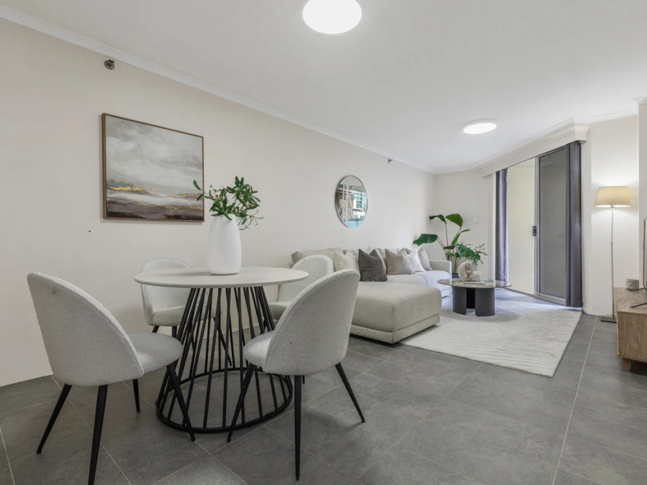
Strathfield, NSW 2135
Property Type: Apartment / Unit / Flat
Listing Type: Residential
Status: Active
Summary: Modern 2-Bedroom Unit in Prime Strathfield Location Walk to Station
Description: Positioned in a convenient and highly sought-after pocket of Strathfield, this well-presented two-bedroom apartment offers a comfortable and modern lifestyle just moments from transport, shops, and local amenities. Ideal for first-home buyers, investors, or those seeking low-maintenance living in a central location. The apartment features a practical and spacious layout with a bright lounge area that flows seamlessly onto a large balconyperfect for relaxing or entertaining. The modern kitchen is well-appointed with ample bench space and connects easily to the dining area, creating a functional open-plan living environment. Both bedrooms are generously sized, both with built-in robes. A well-maintained bathroom services the home, while the separate internal laundry adds extra convenience. Property Features: - Two spacious bedrooms, both with built-in robes - Light-filled lounge room opening to a large balcony - Functional kitchen with gas cooking - Designated dining area - Well-maintained bathroom with full-size bathtub - Separate internal laundry - Secure lock-up garage - Practical floorplan with great natural light throughout Located just a 650m walk to Flemington Station, the apartment offers easy access to Sydney CBD and surrounding suburbs. Enjoy being close to local cafés, restaurants, shopping, and parks in the vibrant Strathfield community. A fantastic opportunity to secure a modern apartment in a prime location with excellent lifestyle and investment potential. DISCLAIMER: While LJ Hooker Bankstown Liverpool have taken all care in preparing this information and used their best endeavours to ensure that the information contained is true and accurate, we accept no responsibility and disclaim all liability in respect of any errors, inaccuracies, or misstatements contained herein. LJ Hooker Bankstown Liverpool urges prospective purchasers to make their own inquiries to verify the information contained herein.
Agent: Louie Kazzi - louie.bl@ljhooker.com.au - 02 9708 2244
Agent: Adriana Kazzi - teamlouie.bl@ljhooker.com.au - 02 9708 2244
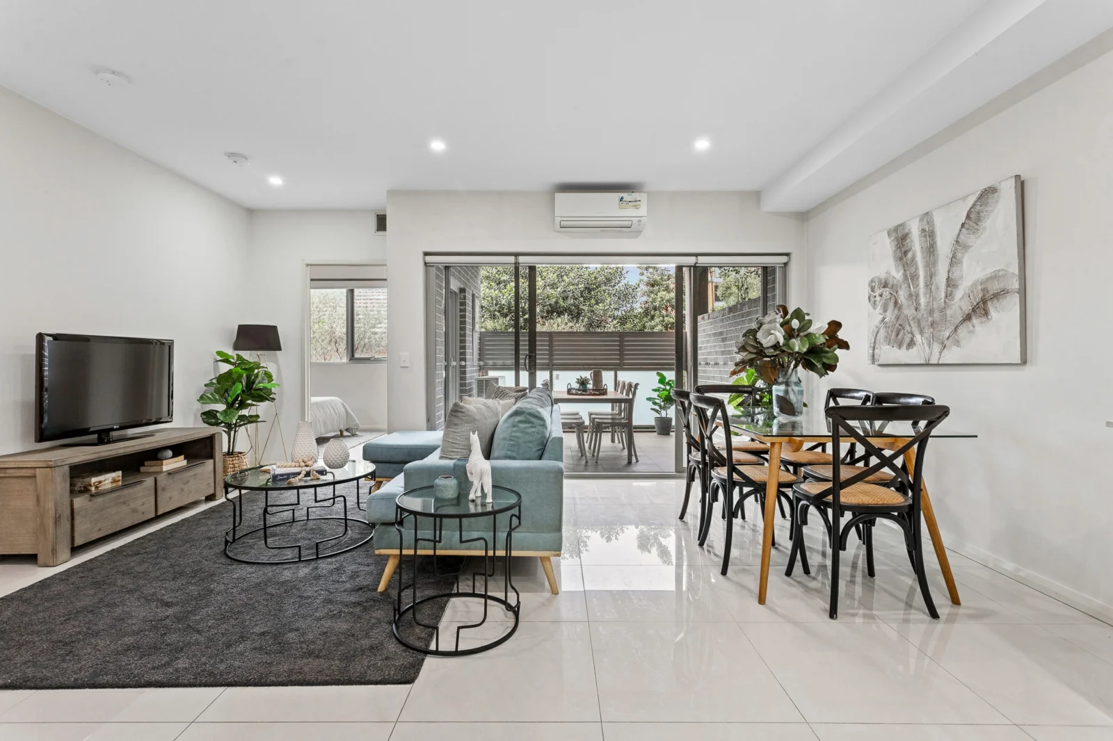
Strathfield South, NSW 2136
Land Size: 111 m²
Property Type: Apartment / Unit / Flat
Listing Type: Residential
Status: Active
Summary: Inspection Cancelled - Under Contract
Description: Located on the first floor, you will love this sun-drenched, full brick apartment offering effortless convenience and a relaxed modern life style. This generous two bedroom apartment is perfect for first home buyers, downsizers and investors alike. The modern, open plan kitchen features stone bench tops and high quality, stainless steel appliances, flowing into an oversized, undercover balcony perfect for entertaining. Both tiled bedrooms feature mirrored built in wardrobes (male and female), with the main bedroom boasting a contemporary ensuite and study nook. Move straight in and make this space your own, making the most of the summer light on the expansive courtyard. - Sun drenched with east aspect - Open plan living and dining area - Two secure car spaces plus storage cage - Split system air conditioning
Agent: Andrew Bova - andrew@exclusivere.com.au - 97361699
Agent: Oliver Nohra - oliver@exclusivere.com.au - 02 9736 1699
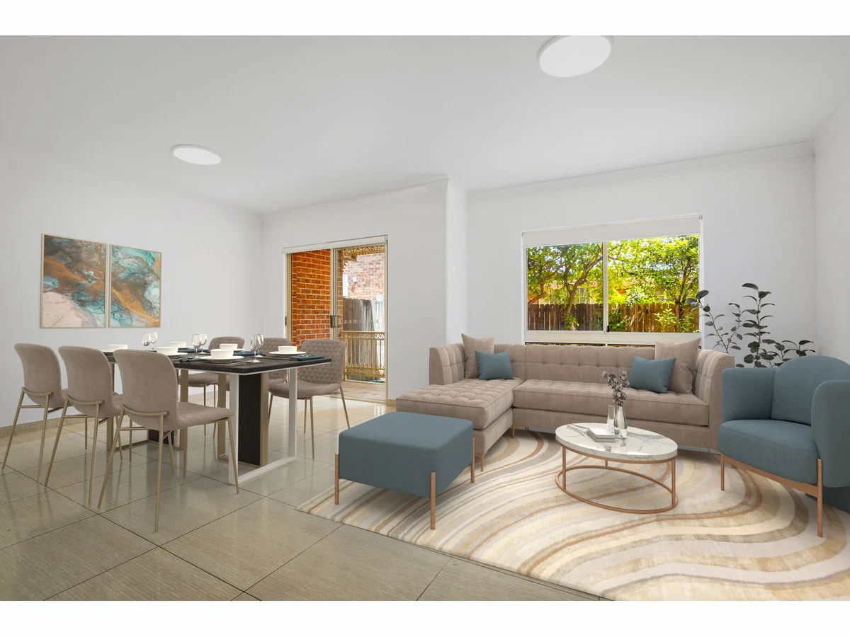
Strathfield South, NSW 2136
Property Type: Townhouse
Listing Type: Residential
Status: Active
Summary: SOLD BY SANDRO MUSUMECI - 0420 974 406 - MANY MORE WANTED - HUGE BUYER DEMAND!!!
Description: Freshly Updated Three-Bedroom Townhouse With Double Garage & Sun-Filled Interiors Townhouse 7, 502510 Liverpool Road, Strathfield South NSW 2136 Beautifully refreshed and ready to enjoy, this spacious three-bedroom townhouse is set within a well-maintained complex in the heart of Strathfield South. Recently upgraded with fresh paint, brand-new carpet, new blinds, and new lighting throughout, the home offers a modern, low-maintenance lifestyle with generous living spaces and exceptional natural light. Property Features Freshly painted throughout with new carpet, new blinds, and new lighting Fully tiled ground level, perfect for easy care and everyday practicality Three spacious bedrooms, including a master suite with walk-in robe, private balcony, and modern ensuite Light-filled open-plan lounge and dining area, designed to capture abundant natural light throughout the day Bathrooms tiled to the ceiling, including a separate bathtub in the main bathroom Remote-controlled double lock-up garage with internal access rare, secure, and highly convenient Internal laundry Private courtyard ideal for entertaining, relaxing, or family gatherings Solid double-brick construction providing durability, thermal comfort, and excellent sound insulation Lifestyle & Location Enjoy the convenience of an unbeatable Inner West address: Minutes to Strathfield Station, Enfield buses and major arterial roads Short distance to Strathfield South Public School, Strathfield South High School, Santa Sabina, Trinity Grammar and Meriden Close to Strathfield Plaza, Burwood Westfield, Enfield Shopping Village, and Chullora Marketplace Near Bark Huts Reserve, Centenary Park, and Hudson Park Golf Course Council Rates: Approximately $479.30 per quarter Strata Levies: Approximately $532.00 per quarter Summary Boasting generous proportions, modern upgrades, abundant natural light and the rare advantage of a double lock-up garage with internal access, Townhouse 7 delivers comfortable, contemporary living in one of the Inner West's most convenient locations. An outstanding opportunity for families, first-home buyers or investors seeking strong rental appeal. For further details or to arrange a private inspection, contact: NSW Realty
Agent: Joseph Casalicchio - joe@nswre.com.au - 87565444
Agent: Sandro Musumeci - sandro@nswre.com.au - 87565444
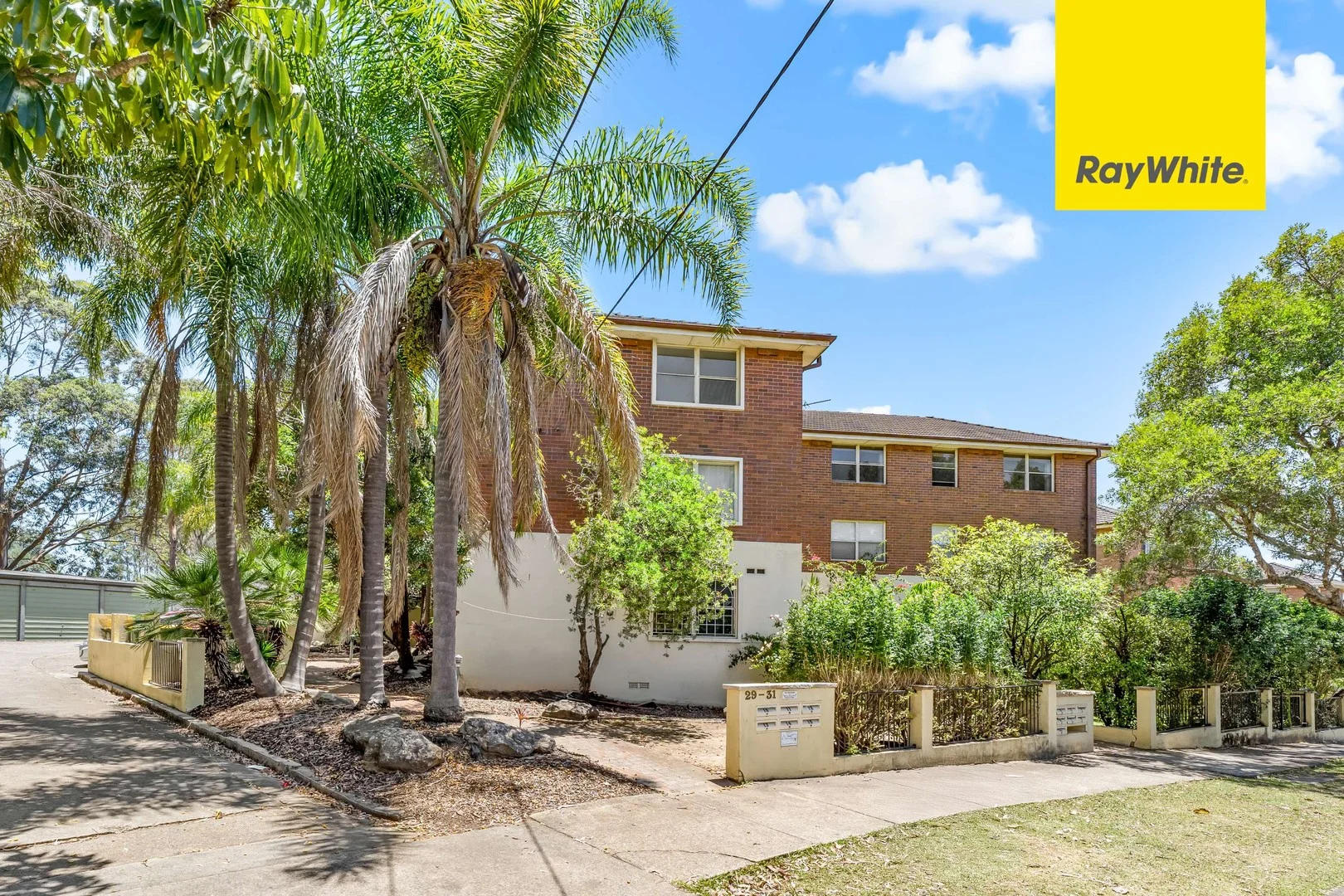
Greenacre, NSW 2190
Property Type: Apartment / Unit / Flat
Listing Type: Residential
Status: Active
Summary: Refurbished Top-Floor Three-Bedroom Unit with Lock-Up Garage
Description: ** SOLD SOLD SOLD ** Positioned on the top floor, this neat and tidy refreshed three-bedroom apartment delivers generous proportions, excellent natural light and the rare benefit of having no common walls. Offering comfort, privacy and low-maintenance living, it presents an ideal opportunity for first-home buyers, young families or investors seeking a quality property in a convenient location. Property Features: • Refurbished top-floor apartment enjoying privacy and abundant natural light • Three spacious and well-proportioned bedrooms • Large separate lounge room providing a comfortable living space • Brand-new oversized eat-in gas kitchen with extensive bench and cupboard space • Easy-care floorboards throughout • Generous family bathroom with corner bathtub • Lock-up garage offering secure parking and storage • Motivated vendor-this property is priced to sell Approximate Areas: • Internal living area - 72sqm • Lock up garage - 16sqm • Total area - 88sqm Summary: Combining space, comfort and value, this top-floor apartment is a standout opportunity in a sought-after location. Whether you're looking to move straight in or secure a strong investment, this property ticks all the boxes. With a highly motivated vendor ready to meet the market, this is one you won't want to miss. * Strata Levy: $1,168.75/q (Adm: $1,017.50, Capital Works Fund: $151,25) * Water Rate: $213.42/q, * Council Rate: $477.00/q, * Inspection: CANCELLED CANCELLED CANCELLED, * For Sale: SOLD SOLD SOLD. Disclaimer: All information contained in this document has been gathered from sources deemed reliable; however, Ray White Lidcombe and its agents make no representation or warranty, express or implied, as to its accuracy. Interested purchasers are advised to rely on their own enquiries and undertake independent investigations in relation to all aspects of the property.
Agent: Rebecca Zhang - rebecca.zhang@raywhite.com - 02 9749 5255
Agent: Steven Duong - steven.duong@raywhite.com - 02 9749 5255
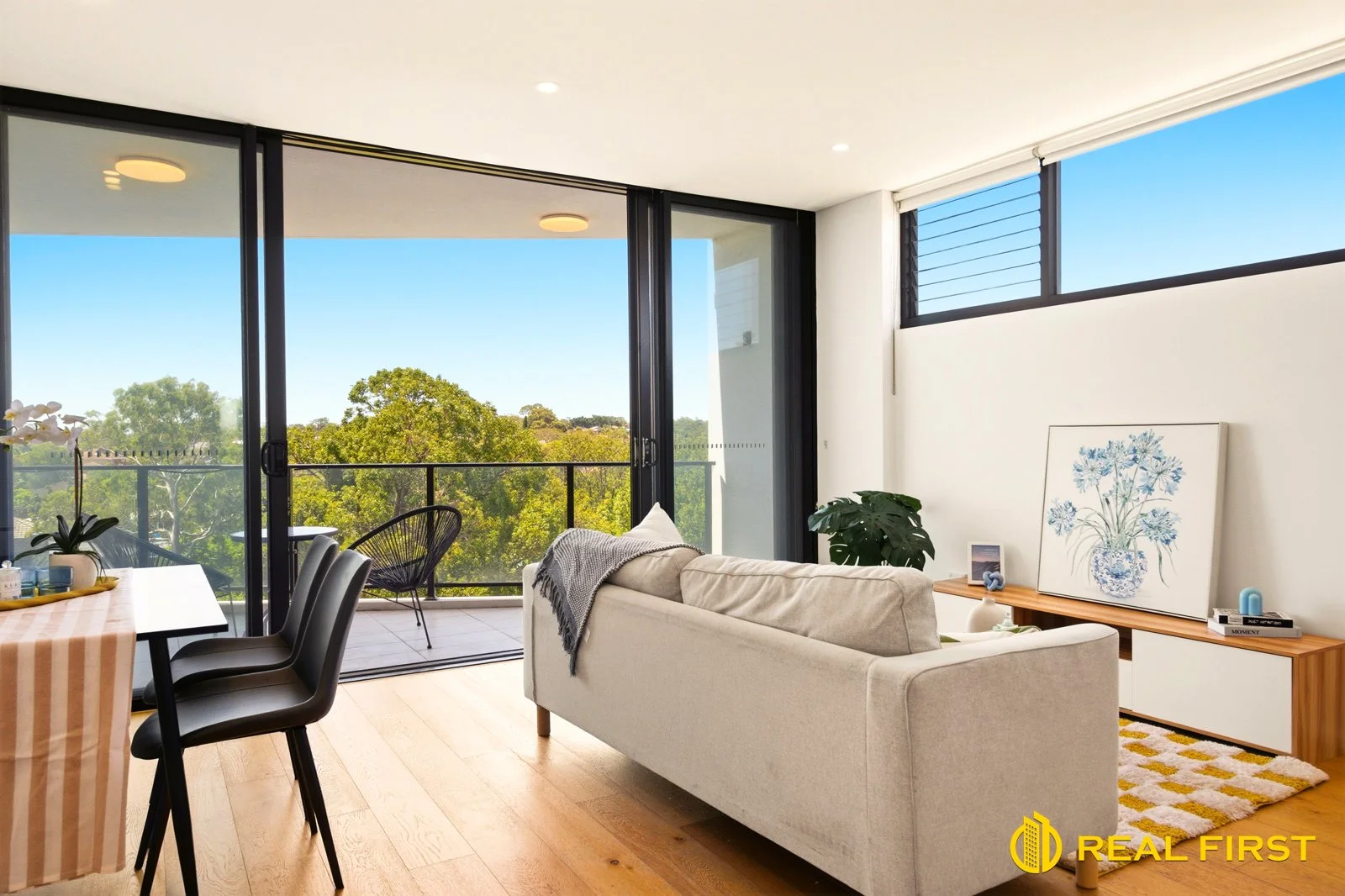
Strathfield, NSW 2135
Property Type: Apartment / Unit / Flat
Listing Type: Residential
Status: Active
Summary: Modern North Facing 1 Bedroom Apartment in Strathfield
Description: Perfectly positioned in one of Strathfield's most desirable pockets, this beautifully presented north-facing one-bedroom apartment offers an exceptional blend of natural light, privacy, and everyday convenience within an exclusive boutique complex. Bathed in sunlight, the generous open-plan living and dining area showcases elegant timber flooring and floor-to-ceiling glass, seamlessly extending to a spacious balconyan ideal setting for morning coffee or relaxed outdoor entertaining while enjoying tranquil leafy outlooks. Thoughtfully positioned away from the main road, the residence provides a peaceful retreat without compromising on accessibility. The sleek contemporary kitchen is appointed with premium Caesarstone benchtops, stylish mirrored splashbacks, and quality appliances, catering effortlessly to modern living. The well-proportioned bedroom features built-in wardrobes, while the bathroom is finished with full-height tiling for a clean, sophisticated look. Additional features include an internal laundry, secure basement parking, and a private storage cage, delivering both comfort and practicality. Offering low-maintenance living in a tightly held location, this apartment presents an outstanding opportunity for first home buyers, downsizers, or savvy investors seeking lifestyle and convenience in equal measure. Apartment Highlights: Desirable north-facing aspect with abundant natural light Light-filled open-plan living with timber flooring Floor-to-ceiling glass opening to a generous balcony Modern kitchen with Caesarstone benchtops and quality appliances Spacious bedroom with built-in wardrobe Stylish bathroom with full-height tiling + internal laundry Secure car space with storage cage Boutique building with intercom access Location Benefits: Easy access to buses and Strathfield Station (approx. 15 mins to Sydney CBD) Close to Strathfield Park, reputable schools, and medical facilities Moments to Strathfield Plaza, Westfield Burwood & Rhodes Waterside Surrounded by parks, cycling tracks, and lifestyle amenities
Agent: Stella Wong - stella@realfirst.estate - 0427106677
Agent: Kimmy (Qian) Chen - kimmy@realfirst.estate - 0448222288